Hiking across the UK - The Coast to Coast Walk
Ever since I read about the second-most beautiful hiking trail in the world, that technically doesn't (ok, didn't. It's been designed a national trail in 2022, which makes me the tiniest bit sad) even exist, I wanted to go. The Coast to Coast Walk has a very peculiar story behind it: it's the brainchild of Alfred Wainwright, a guy who seems to have had just one goal in life: walk the beautiful british countryside and entice others to do the same. In 1973 he wrote the book that would bring the C2C into being: a guide on how to cross Great Britain from St.Bees on the Irish Sea in the west to Robin Hood's Bay on the North Sea in the East. Along the way it crosses through some of the most beautiful areas of Great Britain, including three national parks: the gorgeous peaks of Lake District (where Wainwright himself lived), the beautiful rolling hill of the Yorkshire Dales and the heather-covered plateaus of the North York Moors. The latter had an additional incentive for us, since my wife has family living right at the southern end of the moors and we're always happy to visit the area for the landscape and the people.
Contents
- Contents
- Prologue - How did we get here?
- The first days: Getting there
- Day 1: And we're off! - St. Bees to Low Cock How
- Day 2: Timing issues - Low Cock How to Rosthwaite
- Day 3: Up and over - Rosthwaite to Grasmere
- Day 4: Crazy people - Grasmere to Patterdale
- Day 5: Kind of goodbye - Along Ullswater to Bampton
- Day 6: Back to School - Bampton to Tebay
- Day 7: Into the next national park - Orton to Kirkby Stephen
- Day 8: Old stones, TV stars, and Mongolia - Kirkby Stephen to Keld
- Day 9: An old tractor and some bikes - Keld to Reeth
- Day 10: Goodbyes - Reeth to Richmond
- Day 11: Getting a bit boring - Richmond to Lovesome Hill Farm
- Day 12: Far, far away - Lovesome Hill Farm to Clay Bank Top
- Day 13: I think those feet are done - Clay Bank Top to Glaisdale
- Day 14: Into familiar territory - Glaisdale to Intake Farm
- Day 15: To the sea! - Intake Farm to Robin Hood's Bay
- Epilogue
Prologue - How did we get here?
I'd been dying to do this hike ever since I read about it some 10 years prior. Just the pure concept of crossing the wild (well, in a sense) countryside by the descriptions in a book rather than the signs posted along the way had this magical feel to me. I find the English system with the public rights of way endlessly fascinating (although I've since come to like the German system of the right to roam even more, but that's another story). Someone at some time in history walked here, so now you've got the eternal right to do so. Be it through a hedge, the middle of a field, across a fence or dry stone wall or even someone's garden. It's not only the law (which might make it slightly less romantic), but also seems to be quite universally accepted and cherished as a quirky tradition.
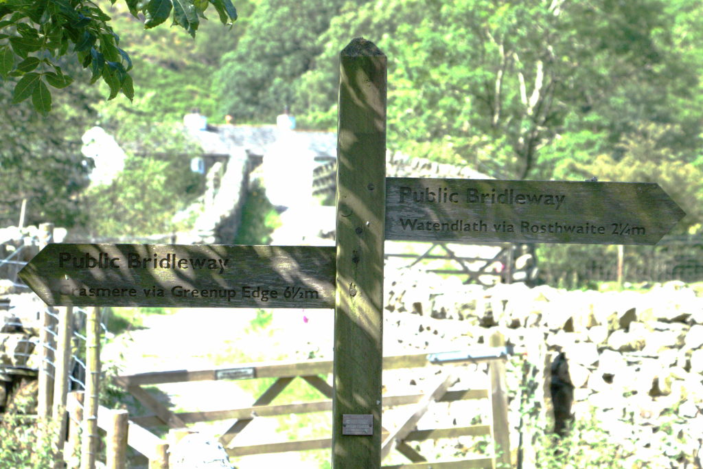
However, there was one minor snag: Manu loved hiking, but she was so unsure about whether we would be able to actually do it, that I couldn't convince here for 10 years. Seeing as I tend to get in over my head with projects sometimes, I didn't really have a convincing argument saying "It'll be alright! We'll manage!"
But, sometimes fate works in strange ways. I played the drums at the university big band for a few years and met a friend, who's also a bit like "Yeah, it'll work out...". At some point during the years we talked about this and that and I mentioned the Coast to Coast Walk. She did have some road trip or other planned around Great Britain the following year, but when that fell apart, she remembered our conversation and aparently went "Huh... why not?". So next time we talked (she had since moved away), she brought up the topic and asked, whether we would like to give it a go and walk with her the coming year. I will forever be grateful, dear Josie, for proposing this. I don't know what exactly happened, but I can still hear Manu go "Ok, we'll try it!".
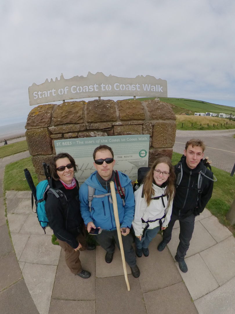
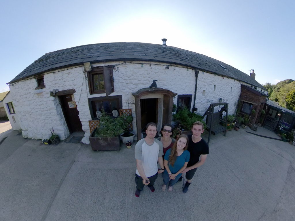
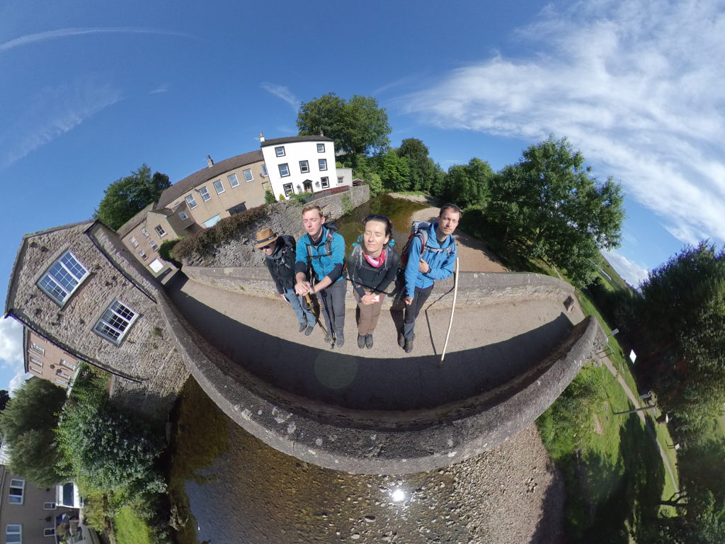
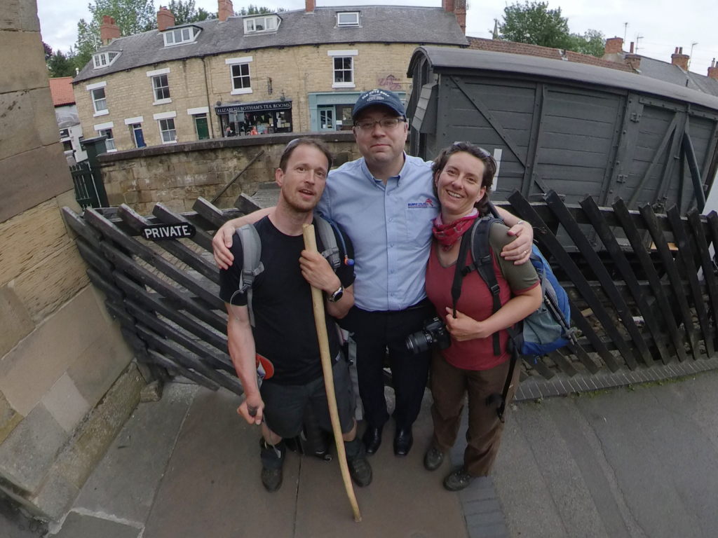
Long story short: about a year later the four of us (Josie had met Tobi in the meantime and brought him along) stood at a beach in the far west of Great Britain, taking a few pictures before we set off to walk some 300 km eastward...
The first days: Getting there
The C2C has one ideal feature for us: it ends right next to where Manu's english branch of the family lives. So we decided, that our best course of action would be to take the car, go to Rotterdam, take the overnight ferry to Hull, show up for breakfast at Helen's house, park the car there, pester Helen and Ian to take us to York (didn't take much pestering, so thanks for that), go to Richmond via public transport, have the company we used for luggage transfer take us to the west coast and walk the way back. Sounds easy enough. The first few steps would take about two days, the last about 15...
Speaking of luggage transfer: since this was our first long-distance hike, we wanted to start slow and used Sherpa Van to transfer our luggage. The way this works is you mark your next accommodation on the luggage in the morning, take your backpack for the day and set of. At some point Sherpa Van will swing by, pick up your luggage and drop it off at the next hostel/B&B/hotel/whatever. This left us free to only take food and water for the day and not worry about having to lug around all our clothes and everything. We've done long hikes since where we carried all our stuff, but I'm grateful, that we got an easy start here. That and Sherpa Van actually drove us to the starting point from their base in Richmond (which is some 2 hours from St. Bees), which saved us some headache figuring out public transport in the rather sparsely populated Lake District and Yorkshire Dales.
We stayed in a converted barn in Richmond for the night. Curious concept: the hosts converted the barn for themselves to live in. When they rent it out, they move into the building site that is the big house at the front of the property. Over the years they want to convert that to live in the house fulltime and rent out the barn. We thoroughly enjoyed ourselves there, had a good night's rest and were ready to be picked up by Sherpa Van the next morning.
Day 1: And we're off! - St. Bees to Low Cock How
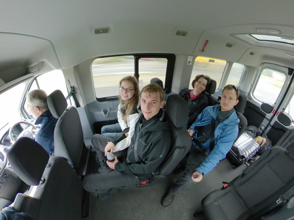
Come next morning we all bundled into the bus and off we went to the west coast. The driver was mightily interested in the fact, that Manu and I were born in the GDR and we basically chatted away those two hours like they were nothing. He dropped us of at the starting point and set off again to deliver our luggage to our first destination.
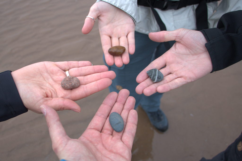
There we were now, taking a few pictures, picking up stones to carry to the other coast as per tradition and anxious to get going.
Even though the walk is west to east, it starts out to the north first. That is a theme with Wainwright: whenever there's a hill or a beautiful sight along the way, it's time for a detour. In the case of St. Bees, the path starts up the cliffs and around St. Bees Lighthouse before it veers off to the right after Birkham's Quarry to turn inland.
That, by the way, is how you follow the trail: not via map or signposts, but via a book, that gives those kinds of directions (although I assume that with the designation as a national trail, there might be signposts now): "walk past this old bench", "turn left at this special stone" etc. We did not use Wainwrights original (after all he has been dead for quite a few years now), but rather a copy of the Trailblazer guide "Coast to Coast Path: St Bees to Robin Hood's Bay". The two guys walk that path for every new edition, so we were confident, that the information was up-to-date and none of the weathered benches or old tractors used as waypoints would have fallen down or been removed.
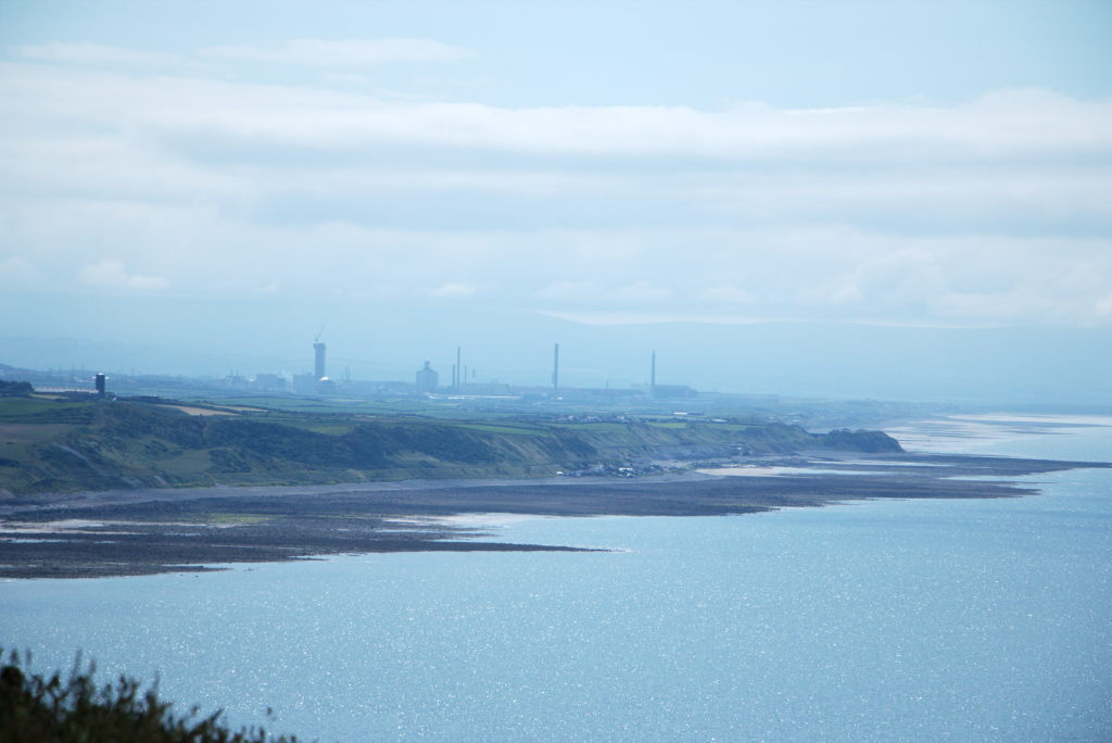
When you come up the cliffs in St. Bees and turn around, you see a large industrial site in the distance. I took a picture because it was so at odds with the rural surroundings. Turns out, that place had a famous (or rather infamous) name: Windscale, the site of the worst nuclear accident in british history. In 1957 one of the two test reactors at the site caught fire, release a large radiation cloud (mainly iodine-131) all over the UK and mainland Europe. The site has since been renamed. These days it's called Sellafield and is home to one of the few nuclear waste recycling plants in Europe. I guess once you've contaminated the landscape enough, it might make sense to reuse the site...
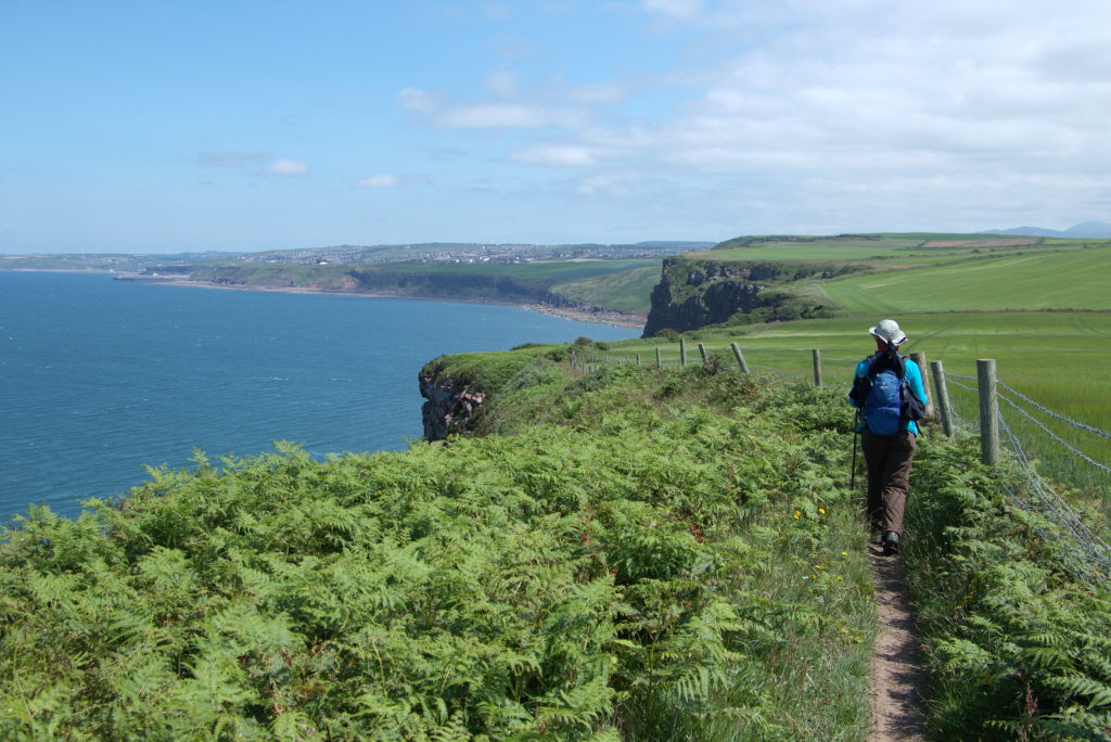
Turning back towards the north is a much more pleasant view. A small path, cliffs, the odd cow in a field, the sea, a village in the distance... Following the instructions in the book, we crossed through Sandwith, ducked under the railway, stopped in the middle of a field for lunch, walked along an old, converted railroad track past Cleator until we reached Black How, where we had to consult the map for the first time. So far we could follow the descriptions in the book, but since Wainwright (and by extension the Trailblazer authors) loves his hills, we were supposed to climb the Knott, a wooded hill next to Black How. This proved to be a problem: the path was blocked due to forestry work going on somewhere, so we had to find another way.
Another issue we "discovered" (we should've known, but there you are): when the wind is blowing all day, as it did, you don't really feel the sun on your skin until it's too late. Despite sunscreen, especially Tobi looked positively grilled around exposed areas of skin. This would become a theme in the following days. We prepared for all kinds of weather, but honestly: who expects three weeks of sun in northern England?
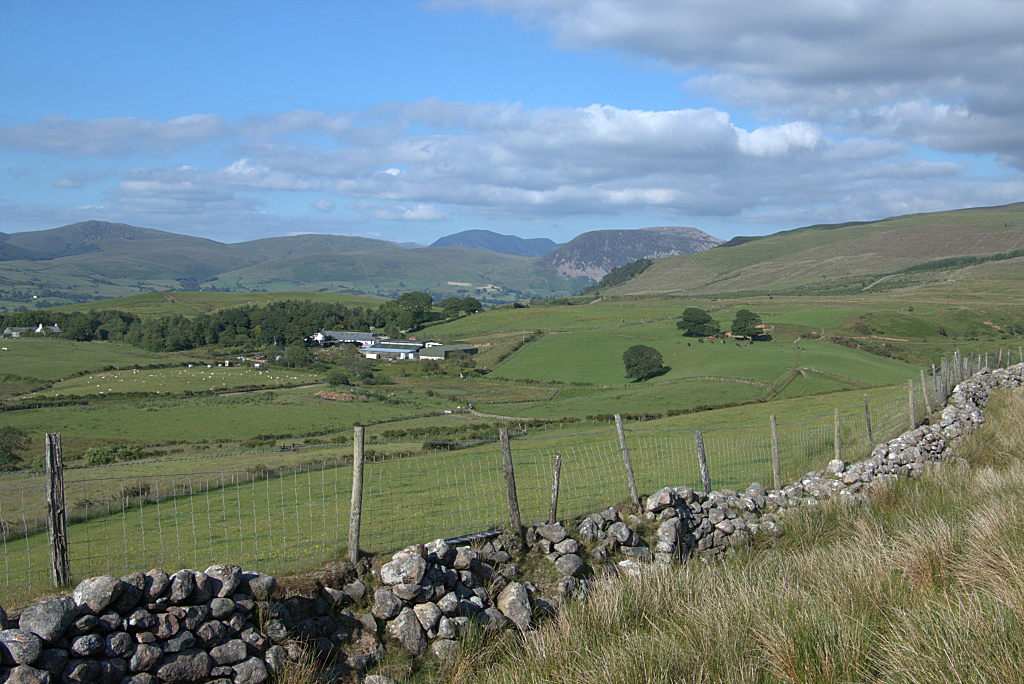
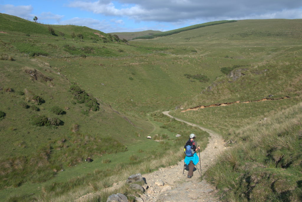
Figuring out a way around the blocked path, we turned towards Flat Fell, from where we could descent towards Low Cock How, the farm/hostel where we had booked for the night. We've booked bunk beds and to my endless relief we did have the room with 10 beds to ourselves as we were the only guests night. We ordered some indian food from the next town over, enjoyed a quiet evening and retired early. 20+ km on the first day were a tiny bit more than we bargained for. I think we were all asleep around 10pm.
Day 2: Timing issues - Low Cock How to Rosthwaite
The next morning saw us rise rather slowly and carefully. The previous day still lingered in our muscles, but what were we supposed to do? Turns out: the second day is about the worst on a long hike. After that it gets better.
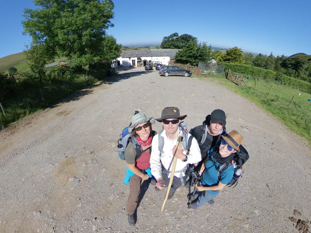
We took a full english breakfast, the right base for such a day (or so we thought) and set off towards the first peaks of the Lake District. First things first: we had to cross a herd of horses that were blocking the driveway of the farm. I'm still not sure who was more nervous: us trying to not spook the horses or the horses trying to melt into the hedges on either side of the way. Anyway, once we were past that obstacle, the hike proper could begin.
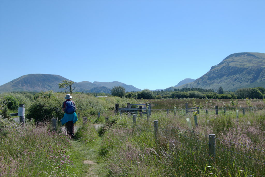
Along the road to Ennerdale Bridge, through Broadmoor (not to be confused with the high-security psychiatric hospital of the same name. This one here is just a nice piece of wooded area which is also a moor), along Ennerdale Water and further up the valley. Sadly this was not for me to enjoy. The breakfast didn't sit right with me, so I basically had to lie down in the shade because I felt sick. What a lovely start into the day...
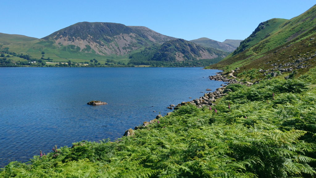
While I tried to recover, Josie and Tobi went ahead to take a plunge into the cold waters of the lake. Apparently this was nice. I dipped my fingers in later and decided that is was primarily cold. After I had recovered a bit, we went ahead, following the water's edge up the valley. Ennerdale Water is the western-most lake in the Lake District, so one down, however many to go? (Granted, we wouldn't pass by all of them. The Coast to Coast Walk is way more focussed on peaks than on lakes)
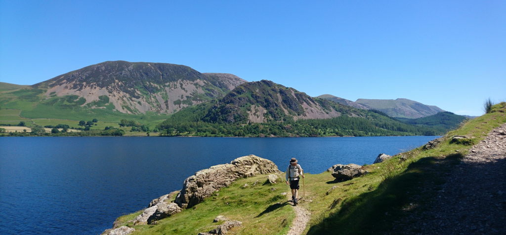
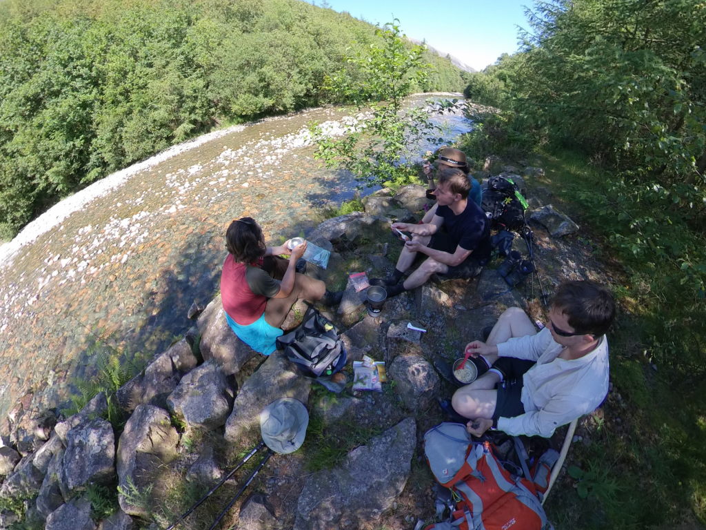
Like proper hikers we wanted to prepare a warm meal on the gas stove for lunch. So we met up again next to the lovely River Liza, set up the stove and cooked some... nearly as lovely ready-made noodles. It's not exactly three-star food, but at least the river was nice.
The rest of the day was a bit more of the same: walking up the valley towards the Black Sail hostel. This is a idyllic little youth hostel right at the very end of the valley, only reachable on foot. Sadly it is usually already booked months in advance, so we weren't able to get places there. This now presented us with two problems: 1. we had to walk out of the valley (which means: up and over the hills) and 2. we got the timing totally wrong. We reached Black Sail around 6 pm, more or less close to the time where we actually wanted to be at our target. Since there was no mobile access basically the whole day, we couldn't even call our hosts to prevent them from sending out mountain rescue.
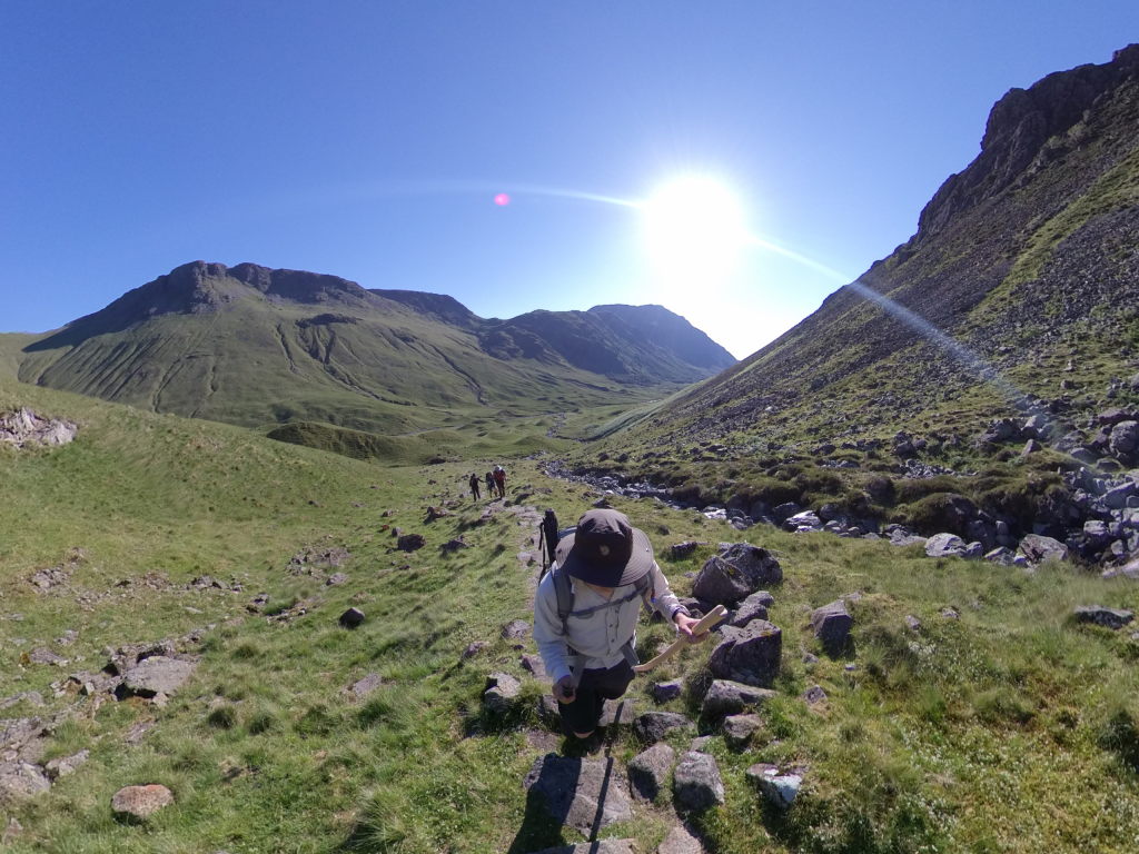
At least this last issue cold be remedied once we we're up out of the valley. There was a small spot where o2 would actually provide enough of a connection to call our hosts and tell them, that we would be very late. Technically at that point we'd have to go somewhere around 5-6 km.
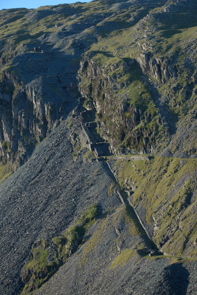
Once we were out of the valley, things started to get a bit more... industrial, shall we say. There is this absolutely straight path down towards Honister Pass (another hostel where we didn't get rooms). According to the map the path is called Dubs Incline. The hills in the area were heavily quarried for centuries (Honister quarry at Honister Pass was established in 1643). Dubs Incline is (surprisingly enough) an incline that carried tracks for trucks to carry the quarried stone from Dubs quarry down towards Honister Pass, which was the nearest road. These days the tracks are long gone and the quarry no longer exists. Only the incline and the structures in the surrounding hills tell of a time when there was a lot of industry around.
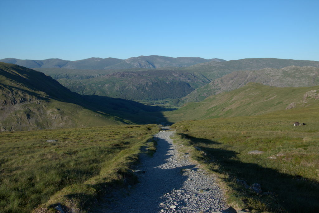
The way down from Honister Pass towards Seatoller, while actually being quite pleasant along the hillside, felt like it dragged on for ages. Our getting the timing totally wrong now caught up with us and in Seatoller we gave up. Luckily our host had offered to pick us up. Just give her a quick call... right. None of our phones had a signal. Luckily there is a hotel in the tiny village ~12 houses (including the hotel). The owner was nice enough to call our host (apparently this didn't happen for the first time, so he knew who to call) and she picked us up some 20 minutes later. A short drive (that I would definitely not have liked to walk) and we could finally lie down in our beds at High Lodore Farm, totally shot again. The kitchen was already closed, but our host fixed us some pieces of bread with jam, which felt like the most heavenly meal after this day.
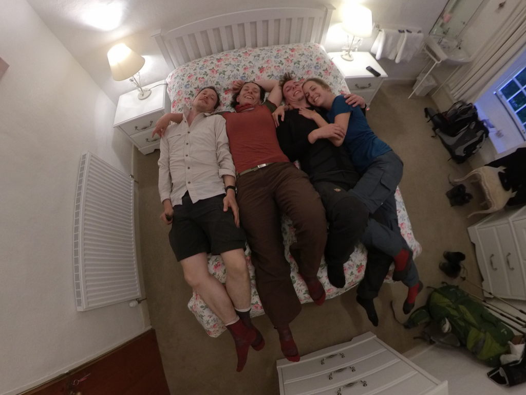
The night, again, was early and quiet for us. Although we probably would even have slept through an explosion anyway.
Day 3: Up and over - Rosthwaite to Grasmere
We set off at separate times the next day. Turns out the four of us have quite different hiking styles (well, at least the couples match), so it made sense to go our separate ways and meet up in the evenings (or, depending on our plans for the day, at lunchtime). First we took the bus to get back to our route. Open double-decker bus through the countryside. I was slapped by tree branches more than once. It's an experience, I guess...
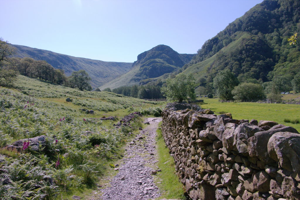
The hike was pleasant enough. Again up a river valley (Stonethwaite Beck and Greenup Gill towards Lining Crag as the first high point of the day). Along the way we met probably the worst-prepared hiker of the whole trip (or all our trips ever since, come to think of it). John, a guy in his 70s from Ireland who's style of hiking was best described as "energetic sprints with long phases of recovery inbetween". While I applaud someone who's still doing this kind of hike at that age, it did give us at least some pause that he had brought all of 0.5 liters of water in two small plastic bottles and ran out of that already right at the start. We were happy to share, since we had plenty, but those two bottles only get you so far. We kept an eye on him for quite some time (easy enough, since his hiking style meant that we would overtake him about once every 30 minutes, only to be overtaken by him later on again) and refilled his bottles multiple times. We just took it as our good deed for the day and were quite happy to see him reach Grasmere even before us in the end.
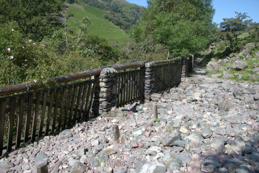
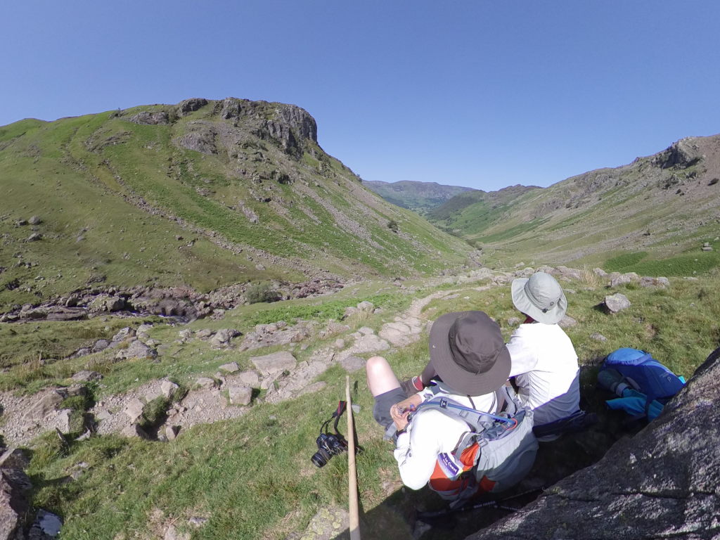
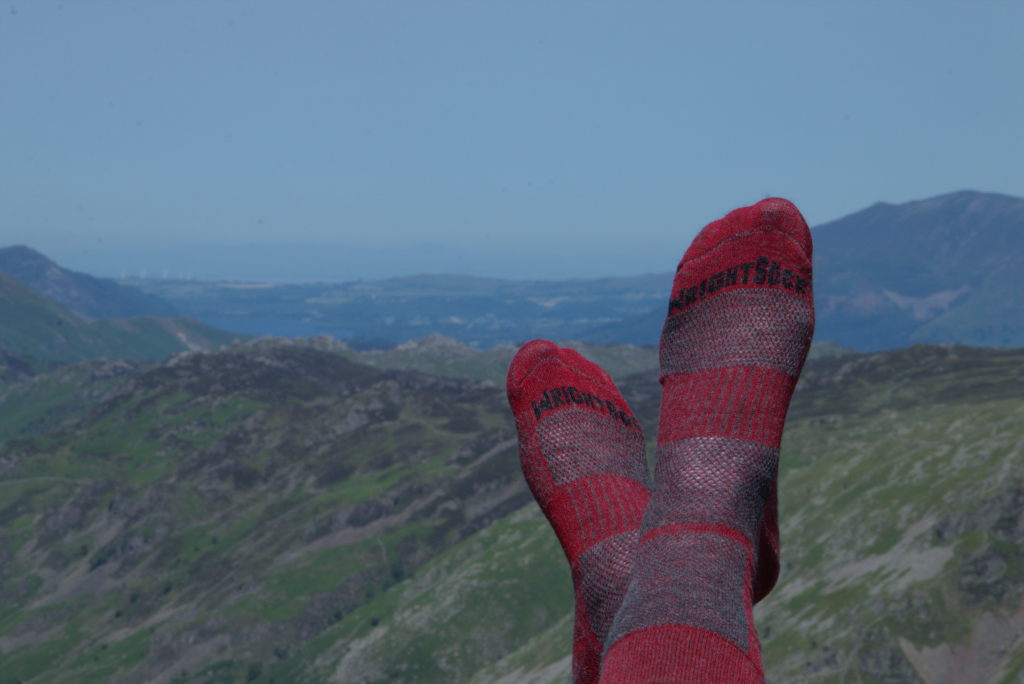
Time for some advertising (#not_sponsored): right before the holiday Manu bought a set of Wright Socks and those are just brilliant. They are double-layered socks with a synthetic inner layer that snuggly fits the foot and a wool outer layer that is in contact with the shoe. What this does is separating the skin of your feet from the movement of the shoe to an extend, preventing blisters. I was sceptical at first, but absolutely love them now. The whole 300 kilometers (or, come to think of it, the ~500 km since) I got exactly one blister (we called it Nigel because it was equal parts annoying and useless), which was due to the pressure from a kink in the inners soles of my shoes because I didn't properly put that in in the morning. No sock in the world can prevent this. The usual type of "something rubbing on the skin"-type of blister is just a non-issue with these socks. So, enough of the unpaid ads...
Another thing that you can just about make out in the background of the sock picture is the sea (OK, you probably need to know that it is there). This was quite fascinating: even though we were quite a way away from the coast at this point there were time and time again vistas where you still could see the ocean. Just as if it didn't really want to let you go until you were well on your way to it's sister in the east.
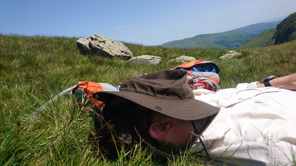
One thing the warm weather made really pleasant was taking a nap around noon. This became our new lunch ritual: a sandwich and a short nap. Just had to be careful about sun protection, which leads to photos like the one above.
After lunch the way was essentially downhill from Greenup Edge towards Grasmere. On the way down we heard (and sometimes saw) fighter jets fly in the distance. The Lake District, due to being rather sparsely populated and having the right type of geography, is used for low-level flight training by the RAF and other friendly air forces. While this isn't exactly in line with the theme of "peaceful and quiet" during the hike, it does make for some interesting view (if you're a bit closer than we were, that is).
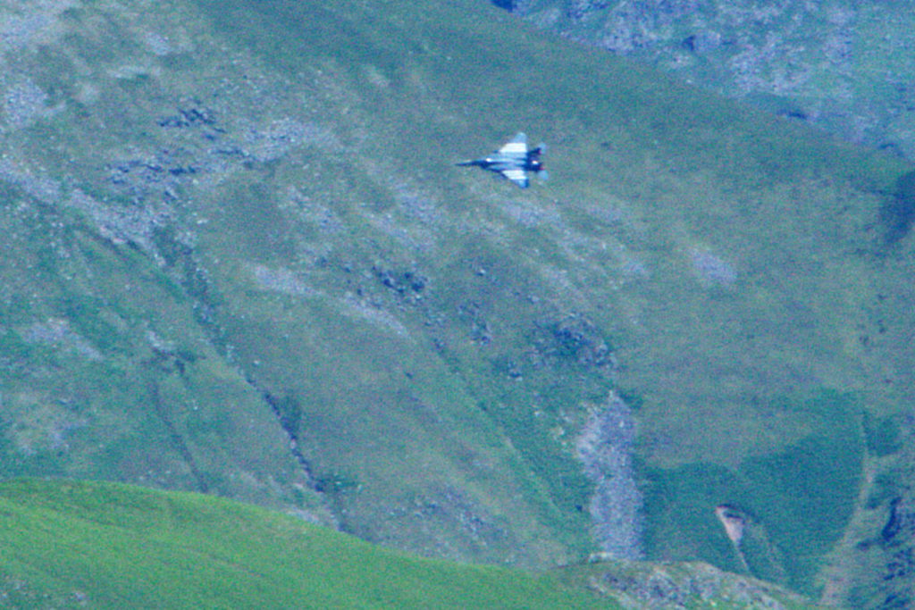
After a first steep decline, the path meanders along the Easdale towards Grasmere. This is then less of a hard-core hike and more a pleasent stroll, which obviously meant, that our irish friend would overtake us again and disappear in the distance.
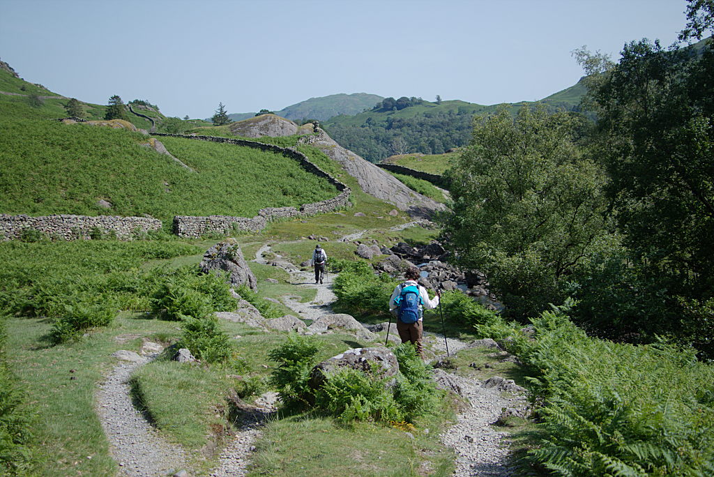
Right before getting to Grasmere, the path enters a small patch of wood and joins the Poet's Walk. The scenic and lonely beauty of the Lake District have long served as inspiration for artists, but especially so for William Wordsworth. Now, I will not even start to claim, that I know anything about English poets. I've heard of Keats, but mainly because of the quote from Richard Dawkins's "Unweaving the Rainbow: Science, Delusion and the Appetite for Wonder", which is used at the end of Nightwishes "The Greates Show on Earth" (one of the greates pieces of music ever made). I read the name Wordsworth before, but couldn't name a poem by him if my life depended on it. Obviously Shakespeare rings a bell, but that's about it then. I'm lucky if I get my Goethe and Schiller right, so probably don't rely on me for english (or any other) literature. But what Wikipedia tells me, Wordsworth is a big deal in English romantic literature (in which he would've been a contemporary of Goethe and Schiller, the two german literary giants, even though Goethe apparently hated the Romantic with a passion and Wordsworth didn't seem to like Goethe as well, considering him a "second-rate man" according to Henry Crabb Robinson). After a visit to Germany in 1798 (which he didn't like the least because it made him homesick), he moved to the Lake District and became forever associated with the area. He died there and is buried in Grasmere. And he apparently used to walk these woods with his sister Dorothy, which is why someone thought of commemorating him with the Poet's Walk. The walk is a short loop from the Lancrigg Hotel passing under some giant old trees. Nothing spectacular, but a welcome break from the windswept, sun-beaten rest of the day.
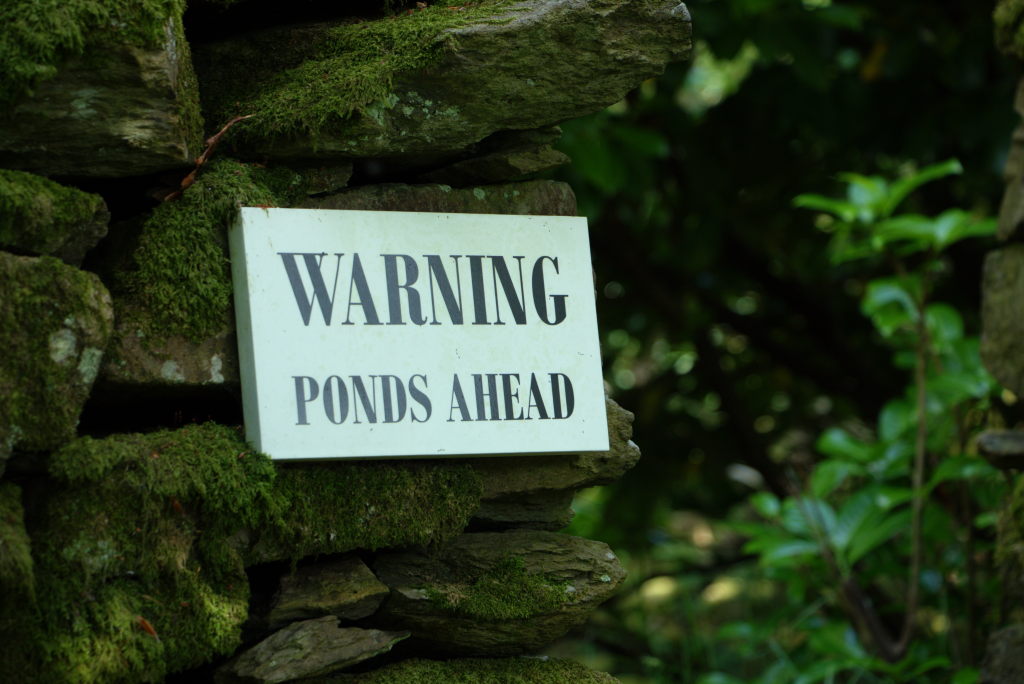
The day finally ended in Thorney How hostel, a centuries old farm/stately home turned youth hostel, which was one of the founding hostels of the YHA (even though it's apparently independent now). We concluded the day with some delicious pizza and just a bit sitting outside, resting our weary feet.
Something we've noticed on that day and kind of confirmed on our hikes since: there's something about hiking long-distance (in particular through-hiking), that happens to your brain on the third day. Suddenly you step outside the normal world and become part of another, much older and simpler world. Sounds stupid, but let me explain: usually your world is full of big and small obligations, that tug you this and that way. Once you've fallen into the rhythm of a long-distance hike, all those things fall away. There are only three things, that are important now: cover the distance, keep you feet (and body) healthy and enjoy the scenery. Everything else is very optional. At least for me this massively quiets all the the things going on in my head, which is actually one of the best parts about the whole thing (the other being this feeling of capability and independence when you finish).
Day 4: Crazy people - Grasmere to Patterdale
The next day brought an important realisation: there's always someone crazier than you. But let's start from the beginning...
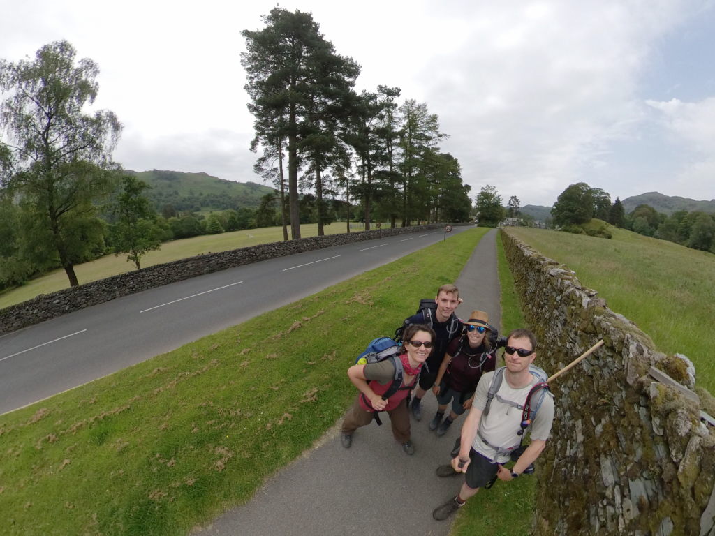
After a quick stroll through "downtown Grasmere" (for lack of a better word. Grasmere is the only thing coming even close to being a town on the C2C through the Lake District), where we stocked up on hiking gear, replacement parts for one of our backpacks and - very important - Compeed, the patron saint of hiker's feet, we started the long (and quite ardous) track out the valley up towards Grisdale Tarn. On the way up we met quite a few runners coming the other way. With the sticky air this morning, we we're quite amazed when they told us, they they were doing an ultra-marathon of 100 km and had started at midnight. To each their own, I guess. We had be called crazy for even considering walking 300+ km, but now we seemed positively tame compared to those people. One even looked like he had been in a serious accident with the whole side of his body covered in blood and dirt. Apparently he had slipped in the dark and scraped his shoulder and leg a bit. With all the sweat the blood just ran down his side (not much blood, mind you, but impressive-looking) and then just dried there. He discovered the full extend of what he looked like after sunrise and just decided to go on like this. At least it's a story to tell...
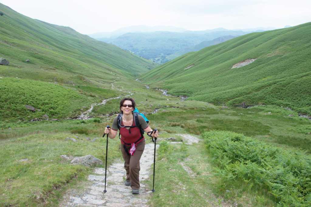
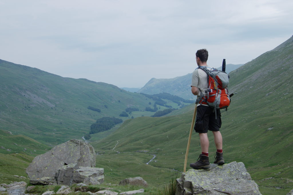
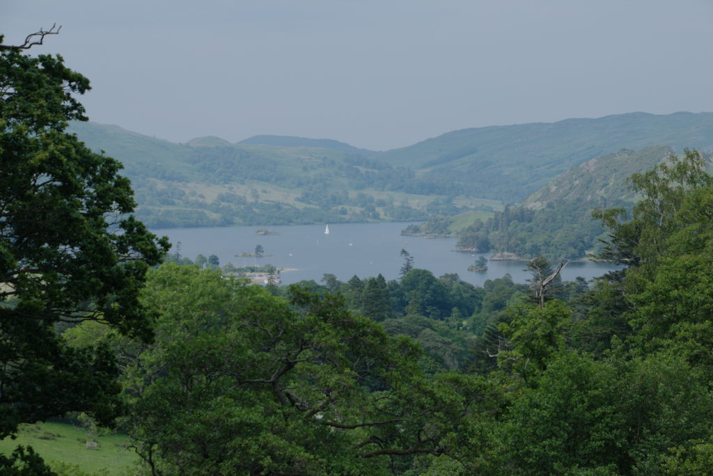
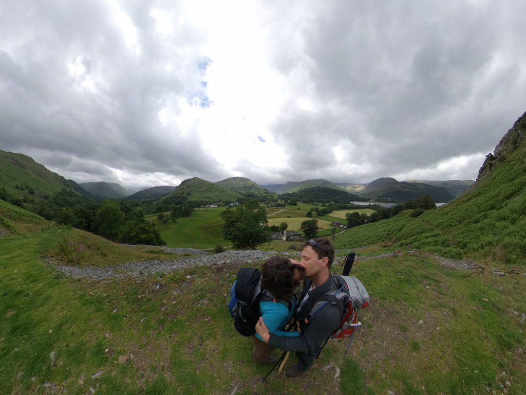
The rest of the day was mostly downhill along Grisdale Beck, a small stream flowing out of Grisdale Tarn. In the end we actually diverted from the small road towards Patterdale and we're glad, that we did. The small path went up a hill and through a small patch of wood, giving us beautiful views of Ullswater along the way.
Our stay for the night, Noran Bank Farm is located slightly outside Patterdale. When we arrived, we were greeted by a very excited dog (friendly though) and some cows. And nobody else. Our hosts were not there yet. It's a working farm and they had work to do. We called into one of the open doors and even got an answer, but not from our hosts, but another german hiker, Alex, who had already waited for some time and decided to take a shower in the bunk house in the meantime. So, with nothing much else to do, we sat down outside and waited for the things to come. The only thing, that made us slightly nervous, was the thunder rumbling in the distance. Didn't come to anything in the end and after about an hour of enjoying the view, our hosts finally came and showed us our rooms for the night.
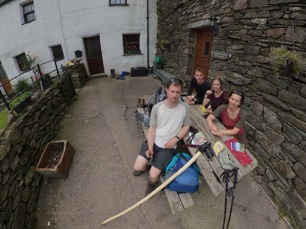
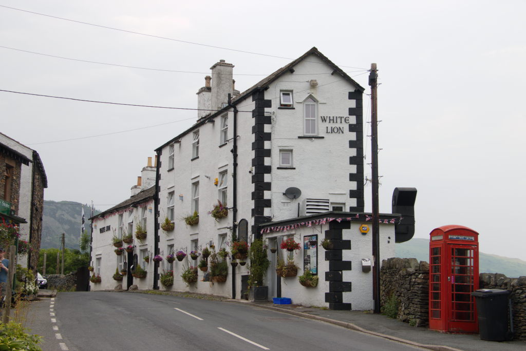
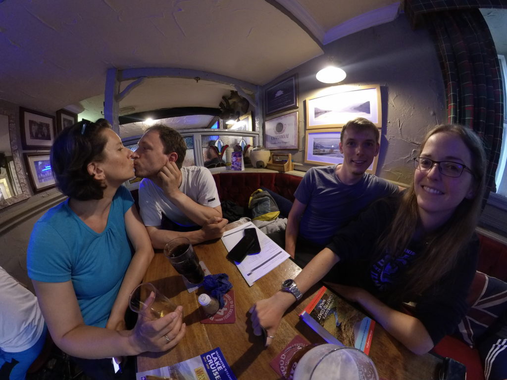
Since we didn't have any plans for food that night, we set off again into Patterdale proper, securing a spot in the White Lion Inn. And "securing" is the right way to put it, since the pub was absolutely packed. We did enjoy the fish&chips, though.
Day 5: Kind of goodbye - Along Ullswater to Bampton
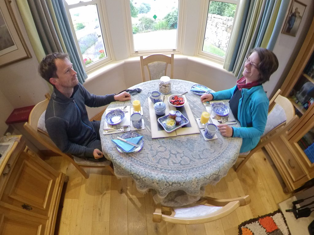
Noran Bank Farm is quite old (about 400 years) and the owner like to collect parts of the family history in the room used for breakfast. That gave us a very unique collection of old pictures, newspaper articles, paintings and other memorabilia as the backdrop for our morning before we set off.
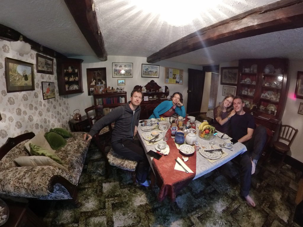
We decided to go our separate ways for the day. Josie and Tobi were tackling Kidsty Pike, the highest peak in the Lake District, following the official trail of the Coast to Coast walk. Since Manu's knees had been acting up the day before, we decided to take an easier route and walk along Ullswater, over Tarn Moor down to Bampton.
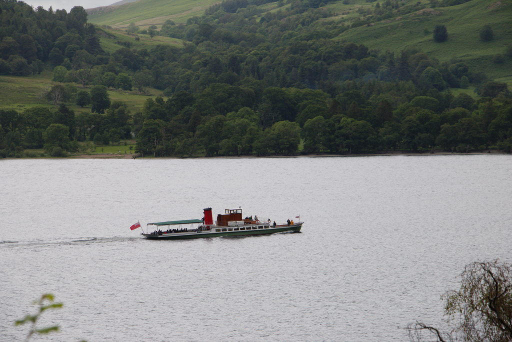
Ullswater is the second-largest lake in the Lake District (the largest being Windermere to the south) and has long been considered one of the most beautiful. There have been steam boats running on the lake for well over 150 years, taking tourist to different landing spots along the shore. Apparently even the then german emperor Wilhelm II visited in 1912, being carted around the lake on the M.Y. Raven. Didn't stop him from starting a world war two years later. Maybe the beauty of the area was lost on this man.
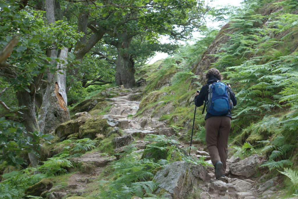
The hike was a nice, cozy path up above the shoreline of Ullswater to Howtown, where we started to hike up towards Tarn Moor.
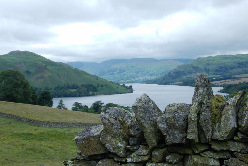
Tarn Moor isn't really a big area, just one plateau before the ground plunges down towards Bampton. The ground is easy going, so we found ourselves at our cottage for the night in reasonable time (and way before Josie and Tobi were done with their more challenging trail). There was just one minor problem: the keys were locked in a box with a code and we couldn't access said code because we didn't have network access. Even that wouldn't have been an issue (we did have to wait the day before, remember?), but today the weather wasn't playing around. There was a serious downpour brewing. Just before we wanted to give up and hike back to a place where we might have mobile access, some synapse deep in my brain fired and the code, that had been mentioned by Josie days before in some random context, came to me. Just before we got wet, we were able to open the door and get inside. The cottage we had for the night was a remodeled former coach barn. The huge doors had been replaced with windows, giving the whole main room a really airy and light vibe. We stretched out on the floor in front of the fireplace, happy to be inside (and kind of feeling sorry for Josie and Tobi, who had to brave the weather in the hills).
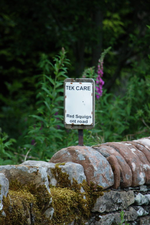
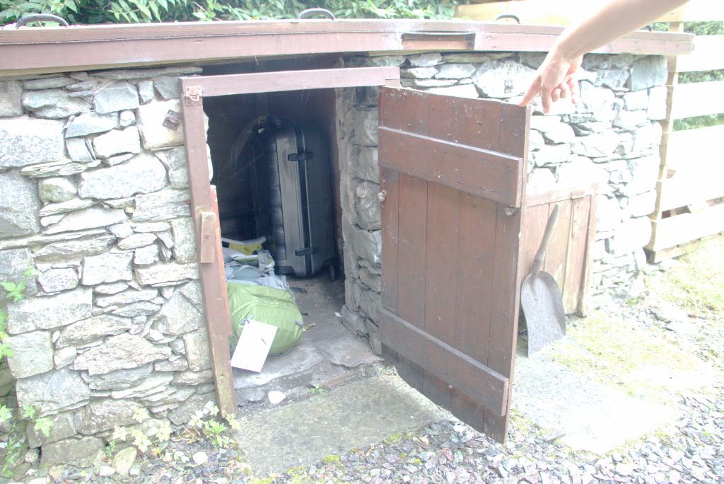
I mentioned the luggage transport before. Ryebank Cottage was an interesting example of just how this worked: some time during the day, the driver picked up our stuff in Patterdale and delivered it to Bampton. Since there is nobody there all the time, they agreed on just putting the stuff in a sheltered place. In this instance: an old coal bunker on the back of the property. This way it's out of the rain and we can get to our stuff when we arrive.
Without any pub around, we were in for a quiet evening and an early sleep.
Day 6: Back to School - Bampton to Tebay
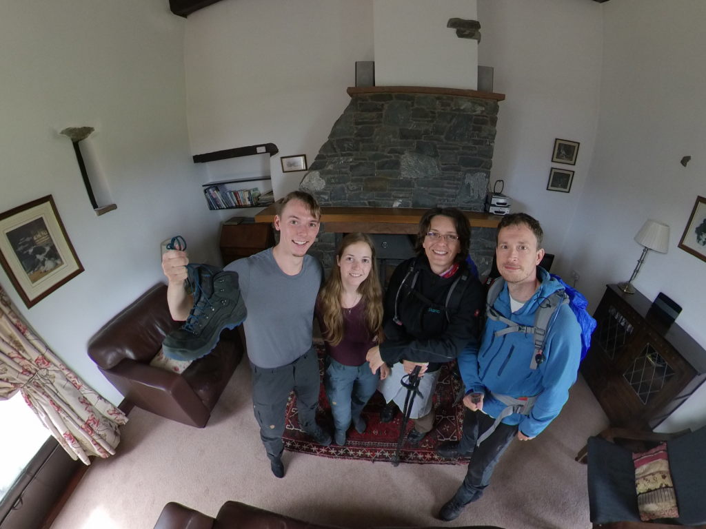
The next day held a bit of a surprise for us: we met Alex again. She'd been staying in Bampton Grange (basically the same village for all intents and purposes) and set of around the same time. We decided to walk a bit of the path together, talking this and that. She was from Germany, but moved to Oxford to persue a PhD in history. She was also on the Coast to Coast, but at a slightly quicker pace than we were, meaning that she planned to finish 2 days before us. We did share a nice few hours, visiting Shap Abbey, crossing the M6 (quite the stark contrast to the tranquil Lake District) and finally parting ways near Oddendale, where she wanted to explore the village, while we went on to look for a nice place to have lunch.
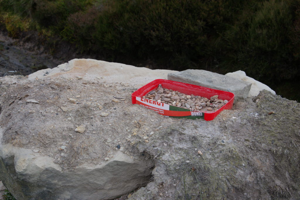
Near Shap Abbey was one of the things we came to really enjoy along the way: food and drink boxes. These are boxes, put up by locals along those long-distance trails, stocked with all kinds of things helpful to hikers: energy bars, sometimes home-made flapjacks or cakes, soft drinks, stuff against blisters, you name it. They will usually contain some kind of cash box where you can pay for the stuff you take, based on an honour system. It's not something you should rely on instead of bringing your own food, but it's a very nice gesture, which will give you stuff you usually wouldn't carry around.
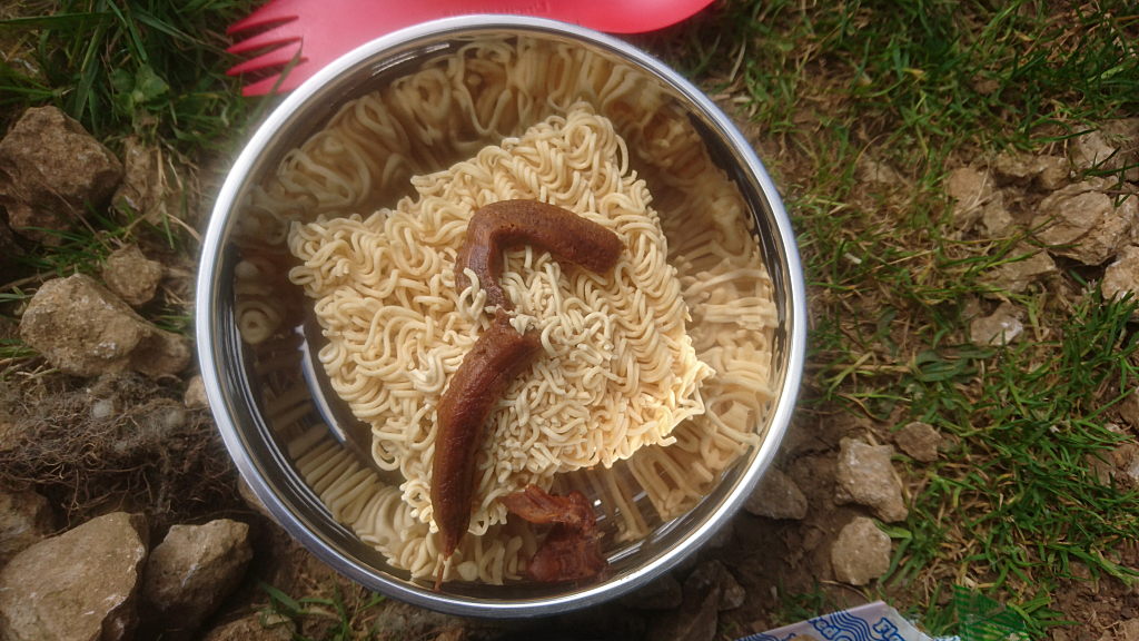
Lunch was from the gas stove again, looking quite strange before we poured the hot water over. No, it's neither a slug nor poop. It's the boiled down sauce for the noodles pressed from it's case. Still looks funny to me.
With the Lake District and it's remote mountain paths now over, the C2C follows the more traditional public right of way paths. In earlier times these usually would be a way for poor people to get around their area between fields and enclosures. With the advent of mechanized farming, the fields got bigger and bigger, but the paths staying in place. Which is why you will have to climb over drystone walls, crawl through hedges, cross meadows with sheep (easy), cows (depends if there's a bull) or horses (very skittish and sometimes aggressive animals) on them or even walk through the middle of fields, where the farmers left a path through the crop for you to follow. On this particular day we even had to cross through a churchyard in Orton, because that's just where the path has always been. Just a small break in the churchyard wall, a short stroll between the graves and out the main gate to follow the C2C path.
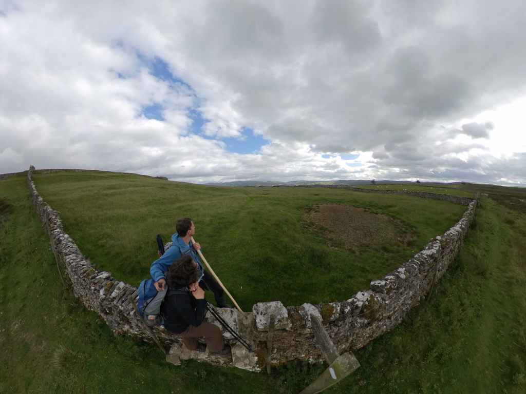
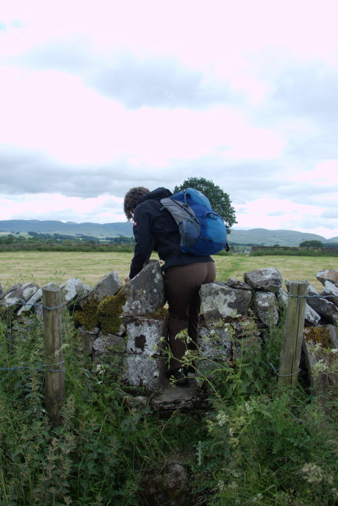
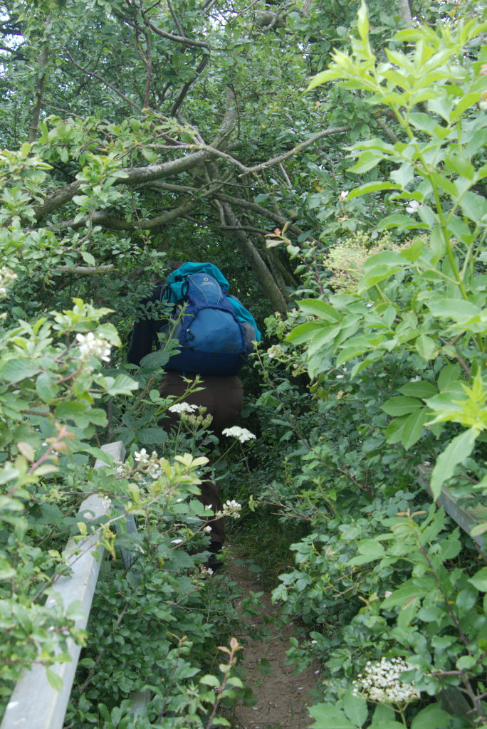
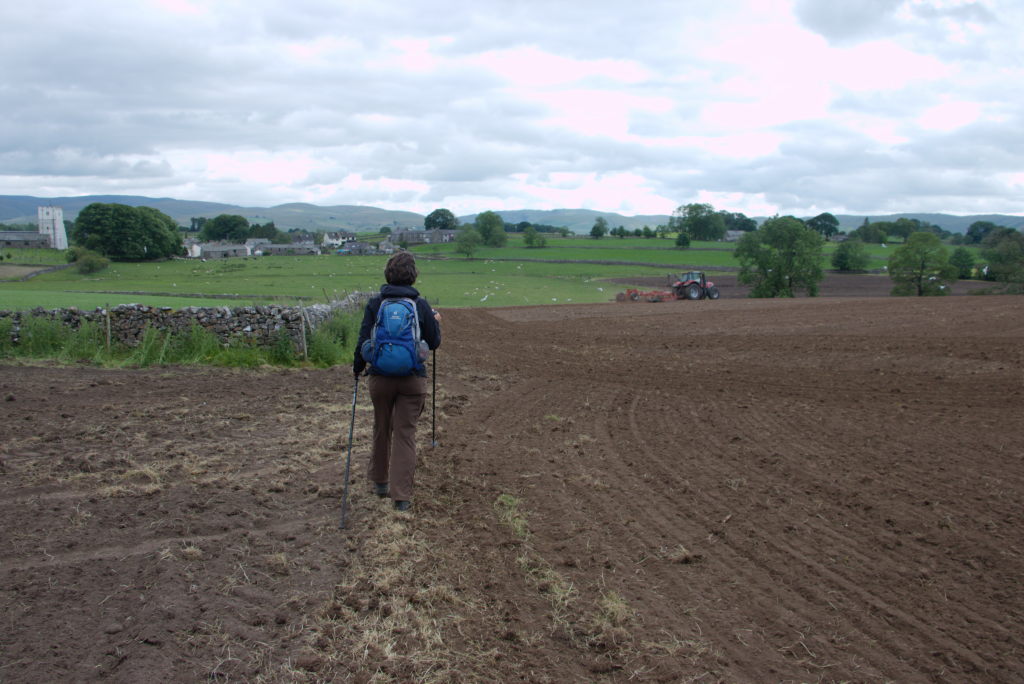
This way of stringing the path together does give it a certain air of doing something a bit naughty, just as if you were walking somewhere, where's you're not supposed to go, seeing things you're not supposed to see (which isn't true, but still feels like it).
Sometimes this can be a bit of a problem (especially if the path isn't clearly marked, which the C2C deliberately isn't in most places). In Orton we had to get off the C2C to go to Tebay, where we stayed in the old schoolhouse for the night. Following the public footpath got us to a point where we thought we were correct, but apparently weren't. The path just ended in front of a wall (we probably missed a turn). So we had to backtrack and then even trespass over someone's sheep pen to get back to the road and follow that towards our destination. So we did some trespassing, albeit along a very well trodden path through a field and nobody, who saw us, said anything.
Tebay is right next to the M6, so not exactly as quiet as our last places had been. We managed to catch some lovely dinner in the Cross Keys Inn, waddled back up to our B&B (you couldn't call that "walking" after the rich dinner) and turned in for the night.
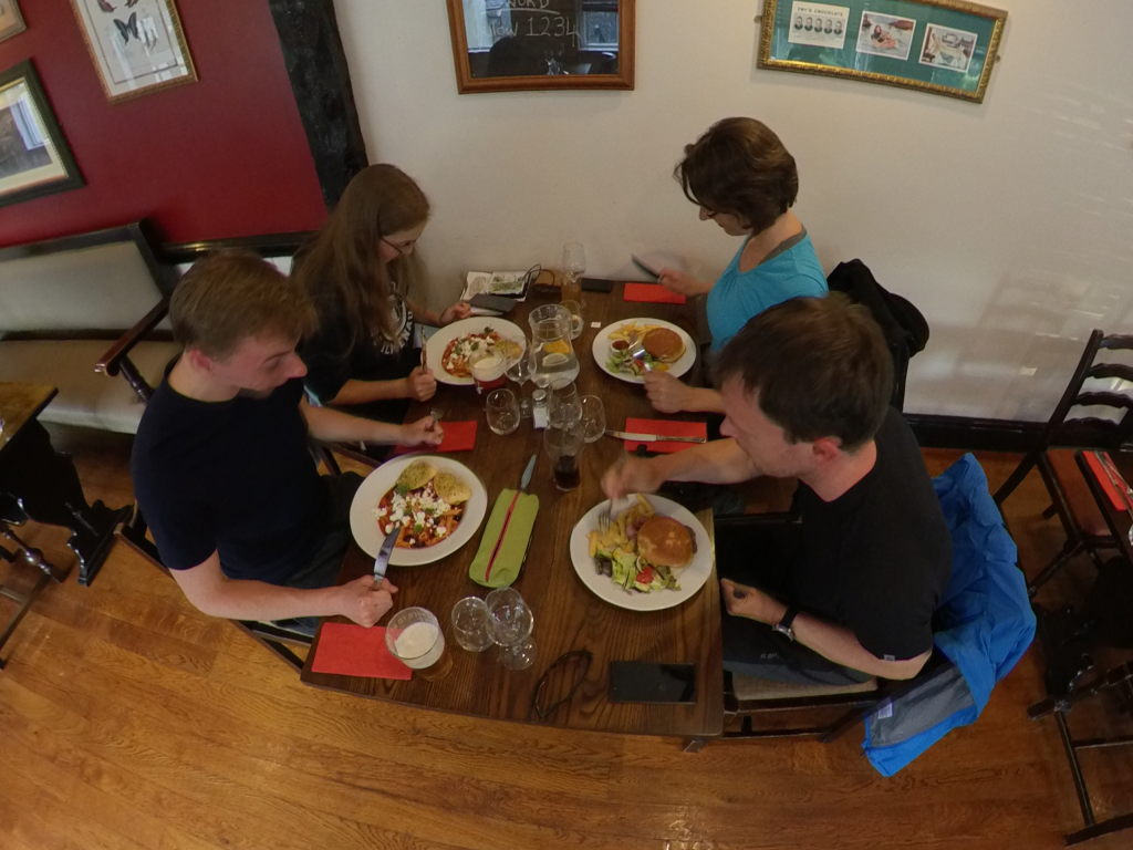
Day 7: Into the next national park - Orton to Kirkby Stephen
The next day didn't start in Tebay. While we did still have our breakfast there in the schoolhouse, we were then taken by the owner of the hostel back to Orton to rejoin the C2C. Tebay is a bit out of the way for C2C walkers and we only selected it because nothing could be found around Orton. That's why the offered to bring us back to our starting point for the day.
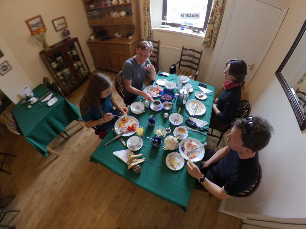
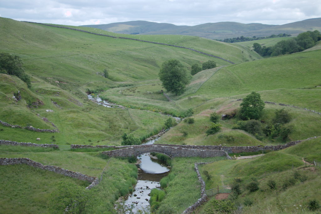
After leaving the Lake District the day before, we were now ready to tackle our next national park: the Yorkshire Dales. The dales have a much gentler landscape. More rolling hills, less steep cliffs. Also: no lakes. Our target for the day: Kirby Stephen, a little town of not quite 2,000 people in the western part of the dales. The day was a rather uneventful collection of climbing across walls, walking through sheep pens, crossing a moor (Ravenstonedale Moor, although, it doesn't really look like a moor, but rather just a large meadow. No heather, no gorze, no mud, nothing. Well, sheep, but that's to be expected. I think they just spring from the ground there and people live with them.), up and down some hills. The only weird part of the hike was a place labelled "Giant's Graves" although we did see neither giants, nor graves there. We did see a collection of nice views along the way, though.
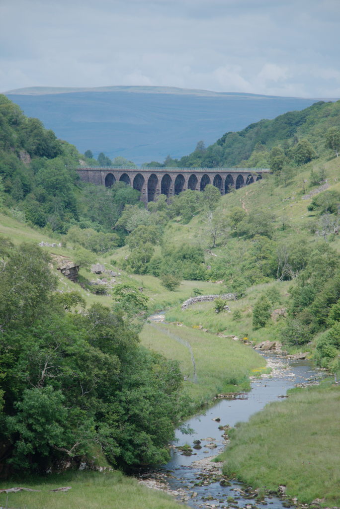
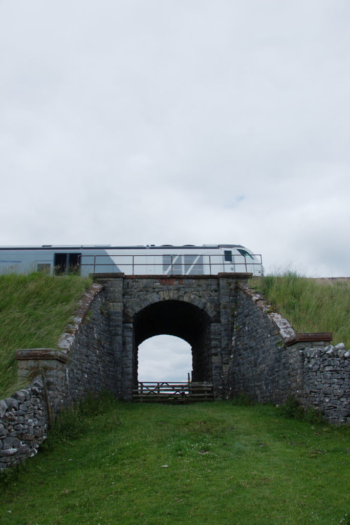
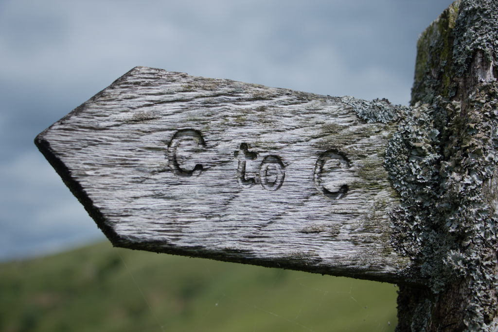
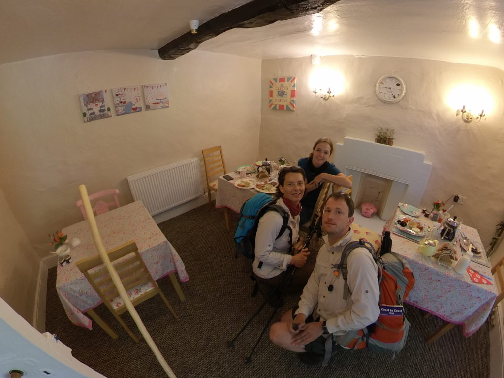
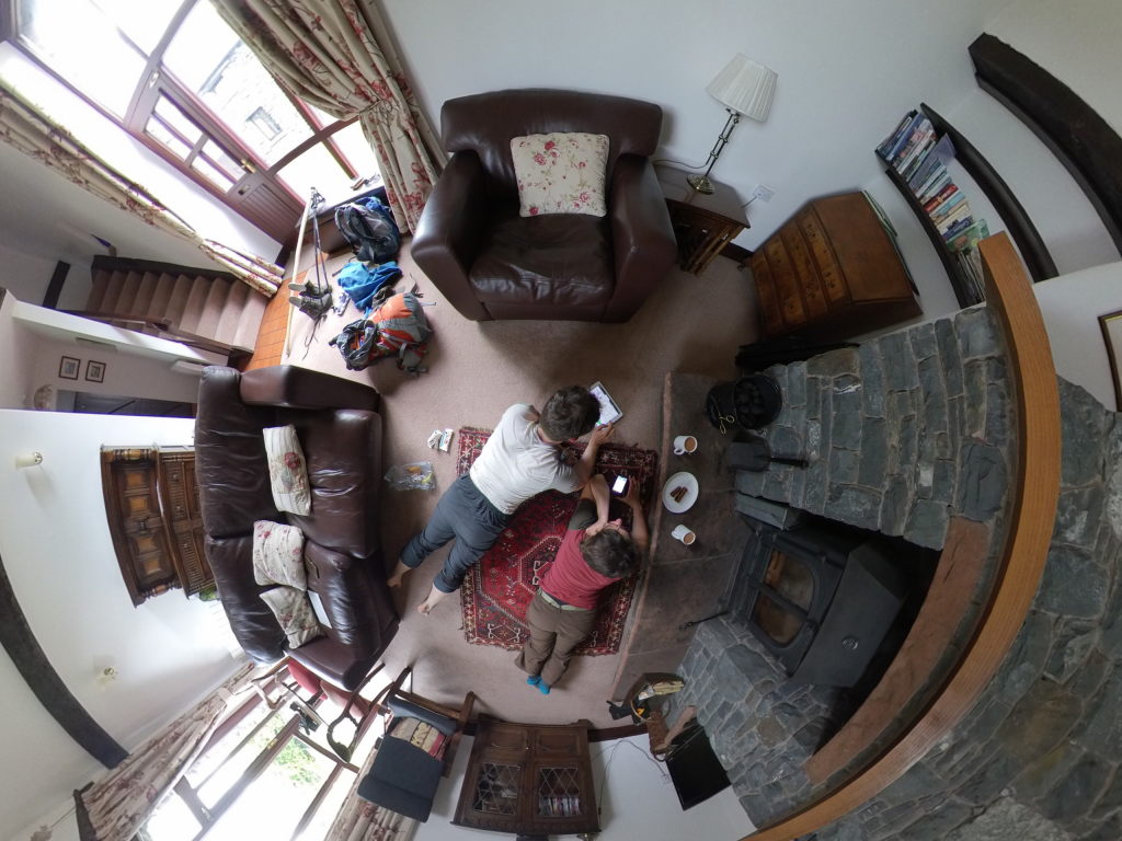
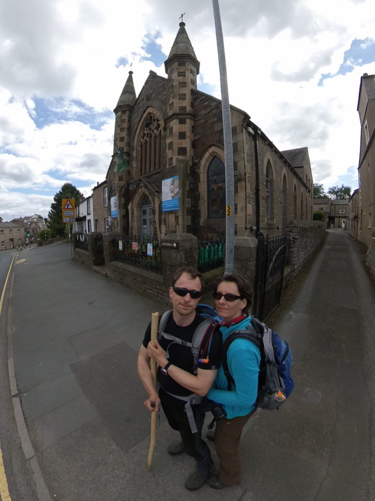
The very special thing of the day came right at the end. Our place for the night, the innocuously named Kirkby Stephen Hostel is an old desecrated Methodist Chapel turned hostel, which gives it quite the interesting vibe. The kitchen is where the altar used to be, the main room full of couches used to house the congregation. The place comes complete with the old church windows (even though most of them are no longer stained glass or never were). Denise, the host, had her grandkids around, who loved to play with the 360 camera and the app, taking pictures and putting stickers everywhere (in the pictures, that is). We enjoyed a nice tea, lounged in the couches for a bit, before we ventured out to pick up something to eat.
Staying in a former church in Kirkby Stephen is kind of fitting, though: "Kirkby" literally means "church by/near".
Day 8: Old stones, TV stars, and Mongolia - Kirkby Stephen to Keld
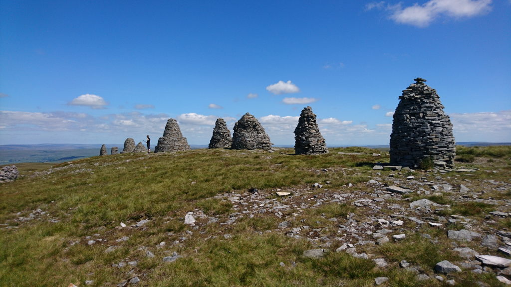
When you leave Kirkby Stephen towards Keld, you can just about see Wainwright smile over your shoulder. After two days with little to no hills, finally there's a decent ascent again. So, we just picked up some groceries, put sunscreen on and headed off towards the Nine Standards. Sitting nearly 450 m above Kirkby Stephen these stone pillars are of unknown origin and thought to be some kind of boundary markers (rather grandiose ones, it has to be said). They are funnily enough just outside the Yorkshire Dales National Park, even though the whole area looks as if it should belong there.
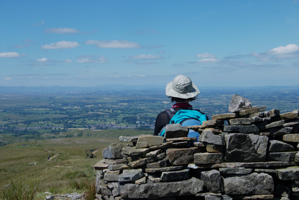
After a quick lunch (again with the gas stove. Quite an interesting feat on something as windswept as the Nine Standards Rigg) we set off south across the moor and White Mossy Hill until we swerved to the east again towards Ravenseat. Manu had read about there being a tea room, which would be just in time for some cream tea.
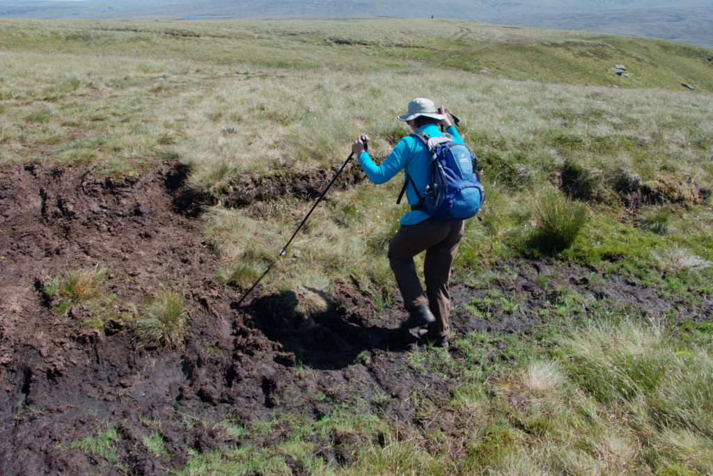
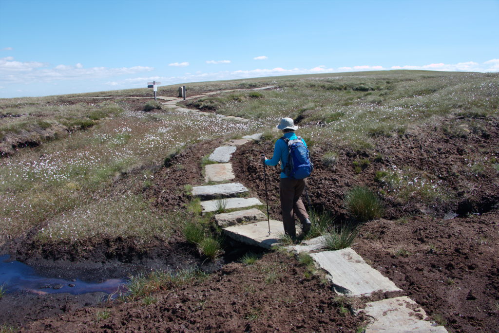
We finally did arrive at Ravenseat in time for cream tea (much to Manu's delight). A very energetic little kid took our order and, with considerable noise and a whole lot of information about her school day, served us two delicious cream teas to recharge our batteries.
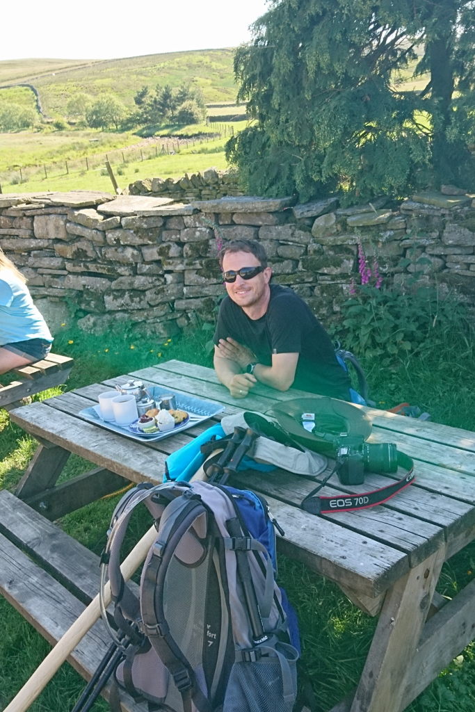
While we enjoyed our treat, the lady on the next table piped up with "Are you here for the show?" The what now? No, we're just regular tourists that saw the tea room on Google... Turns out that the owners of Ravenseat Farm are (well, were) kind of celebrities around the UK. The mother of the family, Amanda Owen gained attention first on Twitter, where she wrote about her life as a shepherdess and mother of 9 in the remote backwaters of the Yorkshire Dales. After she and her family appeared in a few documentaries, they got their own program on Channel 5 called "Our YOrkshire Farm" (which has since be cancelled in 2022 after she and her husband separated, the gossip tells me. The tea room is also closed, so plan accordingly...). That was apparently the show the lady refered to. We didn't know (and, to be totally honest, were only very mildly interested), we just wanted cream tea.
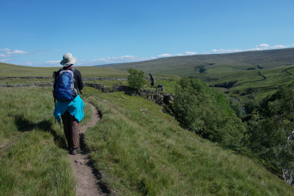
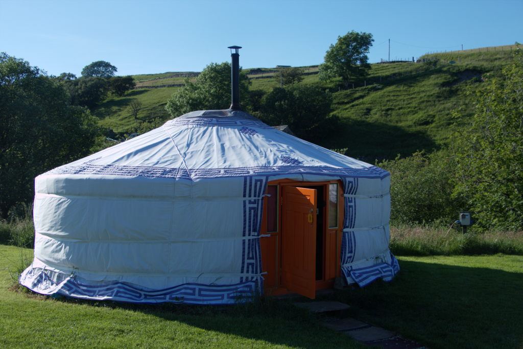
After we had had our fill, we set off for the remaining few kilometers down the Swaledale towards Keld. Our home for the night was again something special: original (they said) mongolian yurts at Swaledale Yurts in Keld. We had booked a yurt with dinner (thanks to the people at Ravenseat Farm for letting us use their phone to book the very delicious dinner on the way) and on a whim decided to book an hour in the hot tub as well. Not so much ascetic hikers, more luxury holiday that evening. The dinner was a delicious shepherd's pie for Manu and equally tasty curries for the rest of us. Served in the yurt we did enjoy the meal before heading of for the hot tub.
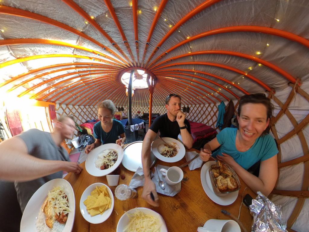
The hot tub was a fun experience. You can choose whether you want to go in naked or not (we did), because it's in a little shed pointing down the lonely Swaledale, so nobody is going to see you anyway. There is just one tiny thing our hosts forgot to mention: there's a little path running about 4 meters in front of the shed down to a waterfall, that's on the property. While this isn't a public path, the other guests of the camp ground can use it to get to the waterfall. Which is what a couple in their late forties/early fifties did. When they came by the first time on their way down, we were all in the water, so nothing could be seen. The man was walking at the front, eyes firmly ahead because his partner was watching. When they came back up, two things happened: first Manu was out of the water on full display, refilling the wine glasses. Second the guy had the foresight of walking in the back this time. So he did enjoy the view thoroughly. And decided to mark the occasion with a thumbs-up and an idiotic grin in our direction. I mean... just shut the f*** up and enjoy the view quietly! (Neither of us cared, but he did make quite the fool of himself, I think. Also: no, there is no picture of Manu refilling the wine glasses. Get your minds out of the gutter. I need room here!)
The night was interesting. Very cozy, started out really, really warm because the sun heated up the yurts considerably, but turned relatively cold over the course of the night. We were quite comfortable in our warm beds, though.
Day 9: An old tractor and some bikes - Keld to Reeth
Our days in the dales were coming to an end quickly. Day 9 brought us to the eastern border of the Dales National Park already. But along the way we got to enjoy the stunningly beautiful Swaledale in all its glory in the sun.
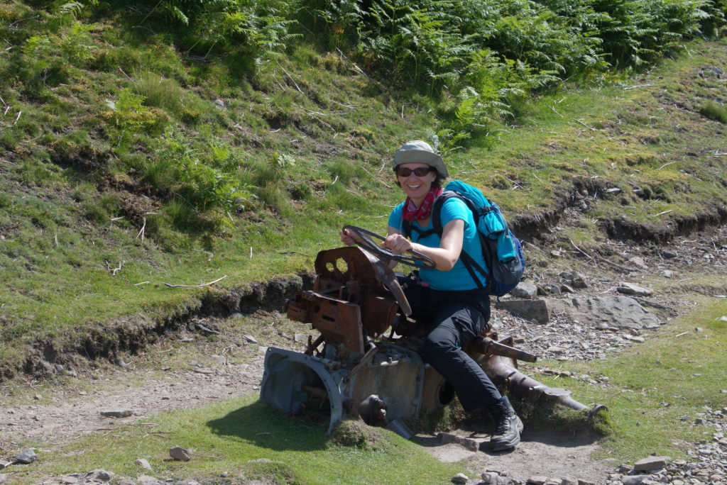
I've already mentioned that the walk is taken by the descriptions in a book. At some point the book talks about turning at an old tractor. Ok, what? Well, you'll know when you see it. There really is an old abandoned tractor (sans wheels, but, very important for the pictures, with the steering wheel) sitting on the path somewhere up in the hills above Swaledale. By the looks of it it has been sitting in these hills since time immemorial, slowly rusting away, diligently serving as a marker for hikers to turn this way or that. It has probably been immortalized in thousands of pictures and will live on in memory well beyond its original owner, whoever that may have been.
The abandoned tractor is somewhat symbolic for the history of the area, though. Swaledale (and by extension large parts of the Dales) was a mining area in times gone by. The landscape is littered with ruins of miners cottages, small farm houses and water mills for processing ore. Swaledale was mined for lead for centuries until the industry slowly declined and finally ceased in the late 1800s. Today only the odd ruin tells the tale of the once industrious past of the area. The current economy is firmly built upon people enjoying the beauty and loneliness of the hills themselves, rather than what lies beneath them
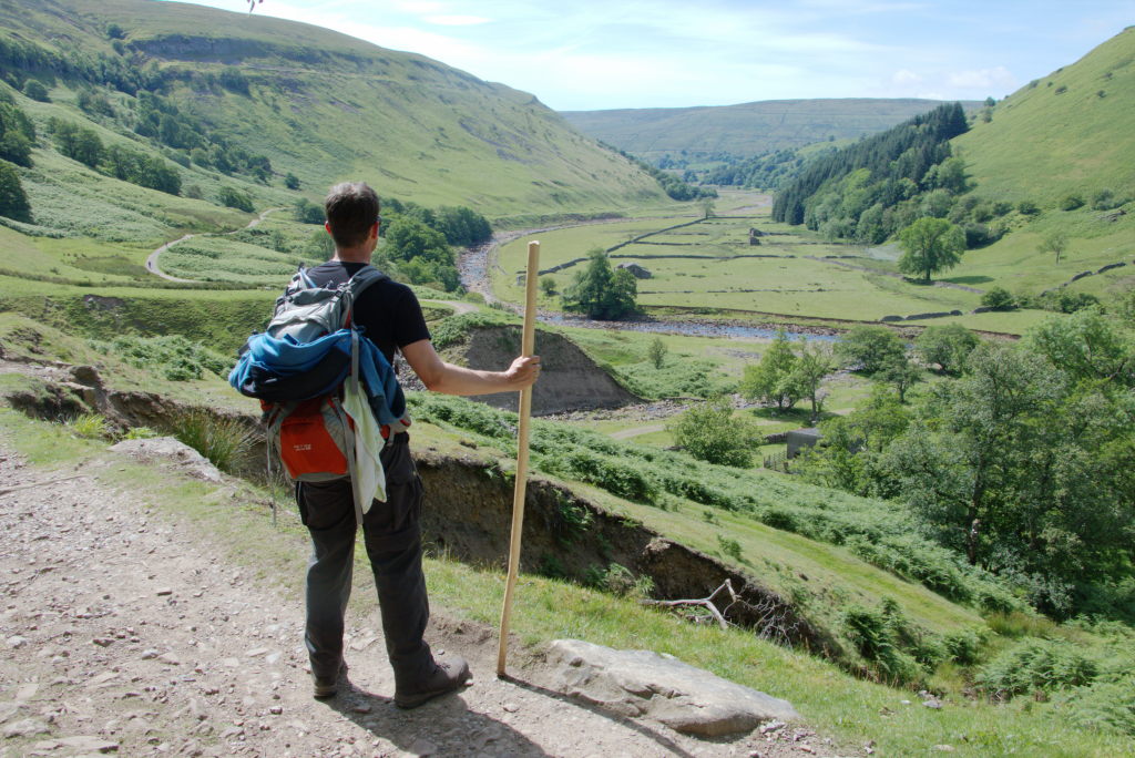
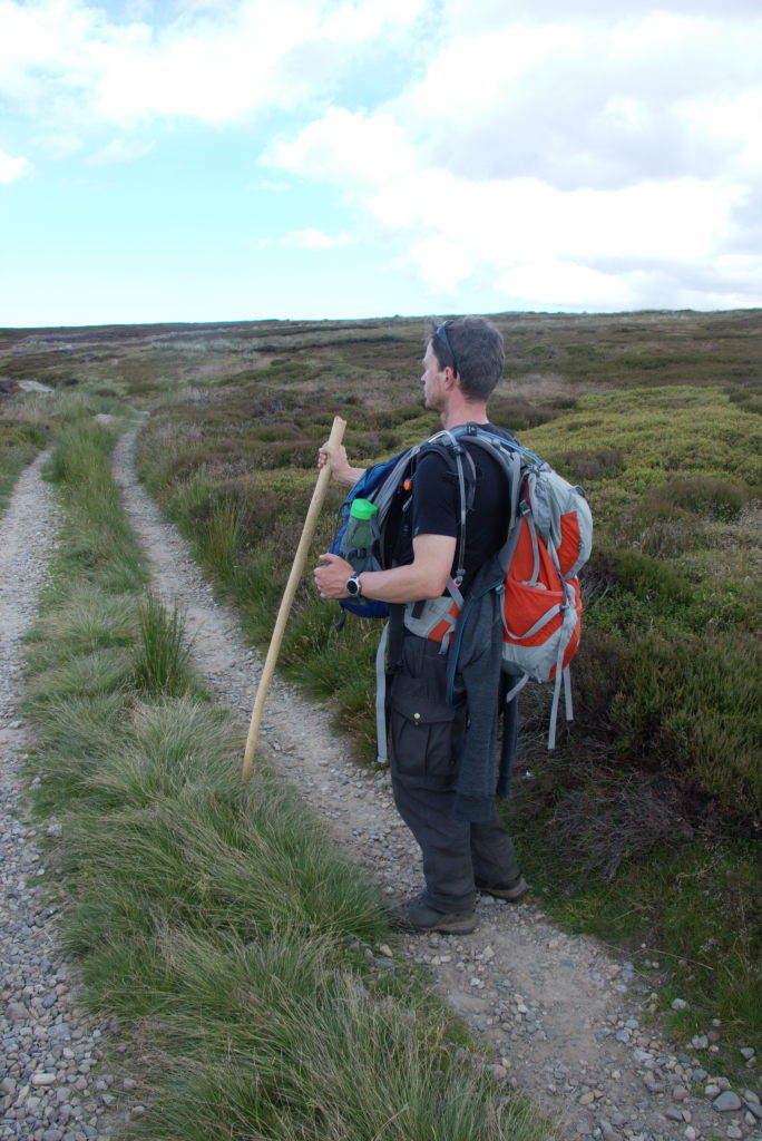
One of the things that grew on me along the way was my walking stick (as can be seen in the picture). I made it on a whim from a small rowan tree I found around the woods at home and decided to give it a go. I don't really like those modern telescope walking sticks Manu uses, but I could see the benefits of having something to lean on. The weeks before we left, I was fighting a bit of nausea and a general feeling of wobbly-ness (ideal if you want to go on a 300 km hike), so I liked to joke about being "Gandalf the wobbly" and "You shall not pass". What the stick did really do though, is keep my shoulder muscles relaxed and help me climb up and down the rather uneven terrain of the path in places. It also made for a good conversation starter, because it is quite unusual to see someone use a wooden stick these days. People kept on complimenting my choice of walking gear time and time again.
When we started out, I thought I might just throw it away at some point, because I might find it too heavy or not like the feel in my heands or whatever. Turns out I was wrong. I still have it and collect our long-distance hikes on it now. Everytime we walk more than 100 km together (or more than 50 if our son joins us), I burn the details (place, time, distance and a logo) on a new ring around the stick. Let's see how many kilometers I can collect in either my lifetime or that of the stick.
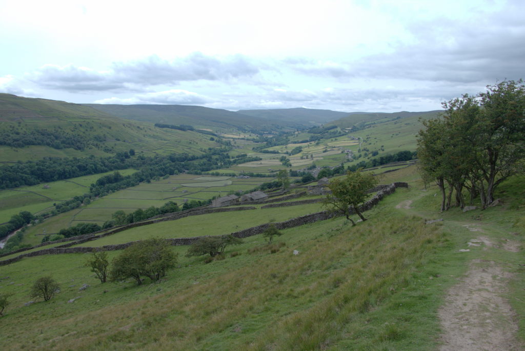
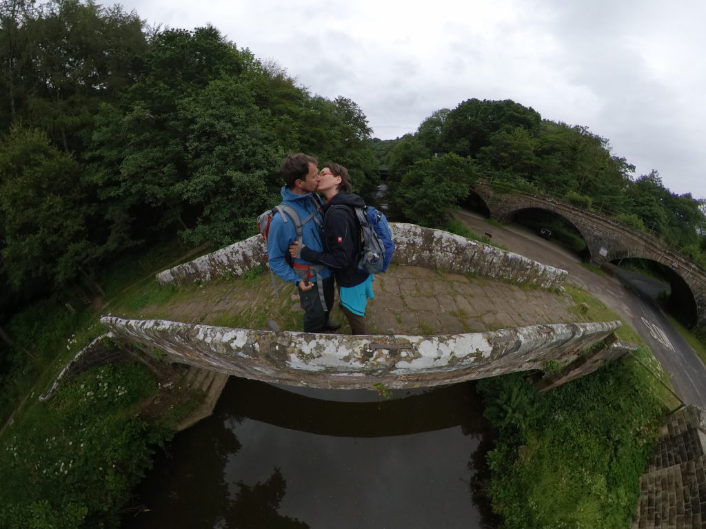
When you approach Reeth, the Swaledale turns from the rather deep valley with steep sides into a wider valley with gentler slopes. The enclosures for sheep creep further up the hill and there's even the odd village dotted along the way. It all distinctly feels like you're starting to come out of the remote wilderness and back into civilization (OK, a bit at least). What all this also means, though, is that you will have to cross sheep enclosures again. Which means kissing gates (so called because people supposedly met at those gates to kiss their lovers from neighboring farms), climbing over walls of squeezing through them.
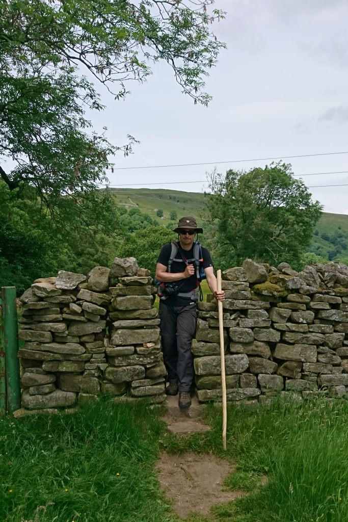
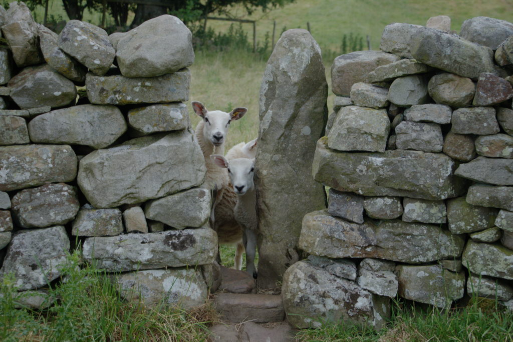
The later part of the afternoon was dictated by two things: jumping over/wiggling through walls and Manu being anxious/annoyed/angry. You see, there's this strange feature of my wife, where she will get really irritated when she's hungry. We had planned to get some cream tea again (in Reeth this time), but time was running a bit short and Manu feared that the tea room might have closed already. Which lead to her being really angry with the landscape. Which, in turn, lead to me just shutting up and walking. There are things you learn after 12 years of marriage...
In the end we did make it. The Ivy Cottage tea room was still open and served a delicious cream tea. There you could observe one of the wonders of the natural world: a really irritated woman turning into my lovely wife again within seconds after having a cream tea in front of her.
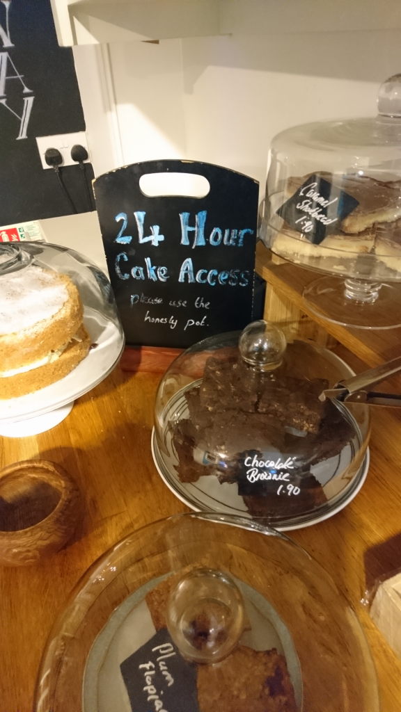
So refreshed we took on the remaining 500 meters to our stay for the night: the Dales Bike Centre. Not a joke, really a bike shop with rooms above. You can even rent bikes, if you want to have a ride around the area. But the most important part: there's a cafe and cakery as well. Which was closed, but that didn't matter: the keys to your room will also open the cafe, giving you the very important 24 hour cake access. I don't remember what we had for dinner, but I do remember the cake...
Day 10: Goodbyes - Reeth to Richmond
The 10th day brought with it a bitter-sweet evening. We got to enjoy a long evening with Josie and Tobi in Richmond, the only "real" town along the way, but just as well we had to say goodbye to our friends the next morning.
The actual hike is a bit of a blur. First of all it was a short day (only 15 km in total through rather easy-going terrain). Once you're out of the dales, the landscape is rather flat and the pace picks up quite a bit. Second we met two english guys in their 60s, that were doing the C2C in sections over the course of 5 years. They basically started where they ended last year, did a few days of hiking and returned the next year for the next part. We had a whole lot to chat over, so that the time was flying by until we suddenly saw the sign announcing Richmond.

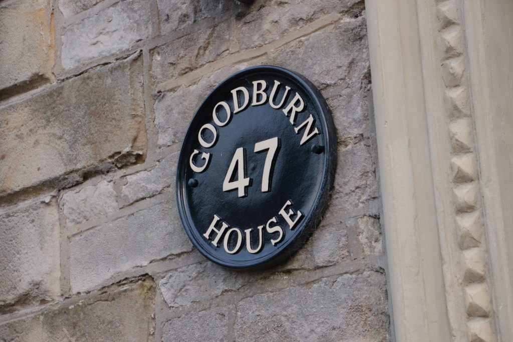
After saying our goodbyes to our companions for the day, we met up with Josie and Tobi again, taking possession of our rooms in The Black Lion Hotel. Those rooms are definitely up there with the weirdest ones we ever stayed in. Not so much due to the rooms themselves, they were perfectly fine. But to get there you had to embark on an odyssey through what felt like the storage area of the hotel. Up the stairs, though the door, down some stairs, around a corner, left, right, up some more stairs, down some others again, until we finally reached our rooms. It wasn't a matter of "here are your keys, your rooms are number X and Y", but more "I'll take you there". To our relief the house could be left via the back entrance right below our rooms, so we didn't have to risk getting lost on our way back (well, except the next morning, when I took the liberty of timing our exit from the hotel. It came in well over a minute of brisk walking.)
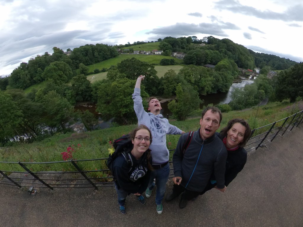
We enjoyed a few geocache hunts around town and a bit of culture (well, old buildings and a cemetary, mostly), before we retired to our hotel's own restaurant for dinner. The next day would bring a sad parting of ways and a very long hike for us.
Day 11: Getting a bit boring - Richmond to Lovesome Hill Farm
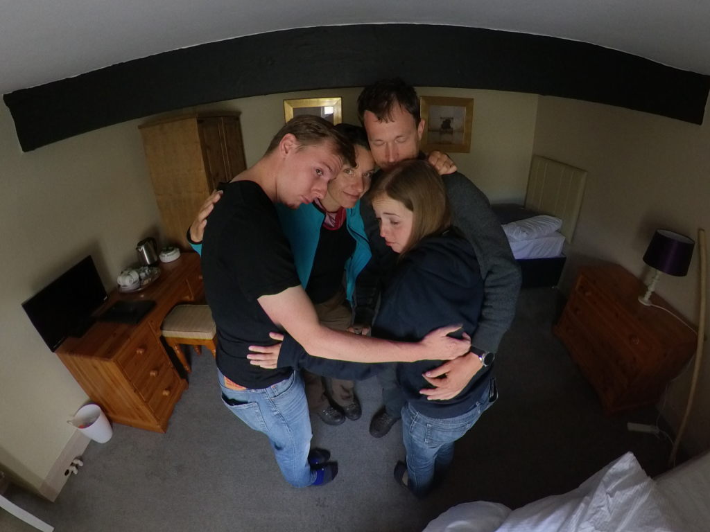
Day 11 started of with a bummer: having to say goodbye to Josie and Tobi. They had other appointments to attend to and wanted to have a look around York. That's why they left the rest of the way to some other year. We wanted to go on, however. So a quick cuddle in the morning and off we went.
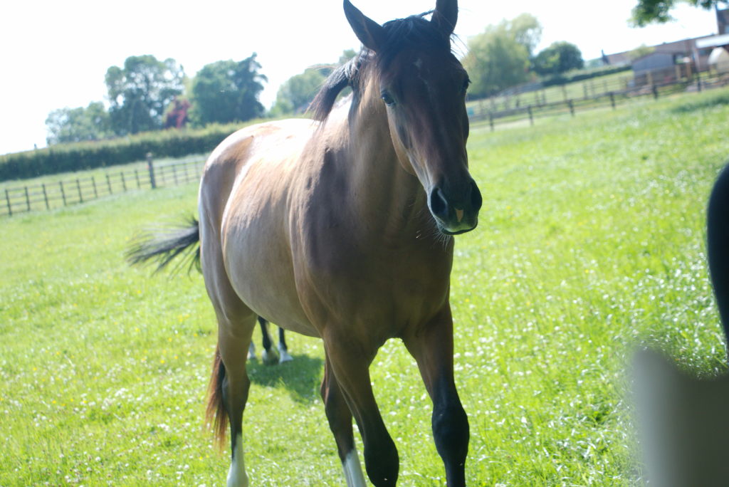
The walk from Richmond towards the east is a bit boring, to be honest. The landscape is flat as a tabletop with mostly open farmland. Nothing compared to the beautiful vistas of the two national parks we left behind. The only real excitement (which I could've done without) was crossing a horse enclosure with a very aggressive horse. I get it, she was just trying to protect her foal, but still it is somewhat intimidating when a 700 kg animal really wants you to get off it's lawn! The field full of young bulls was rather peaceful in comparison. They were really stubborn and curious and really didn't want to move out of the way at the gate. But once I lifted my stick across the gate and slightly pushed the closest one, they got the message and stepped aside (but not too far. Those strange two-legged creatures are still very interesting!).
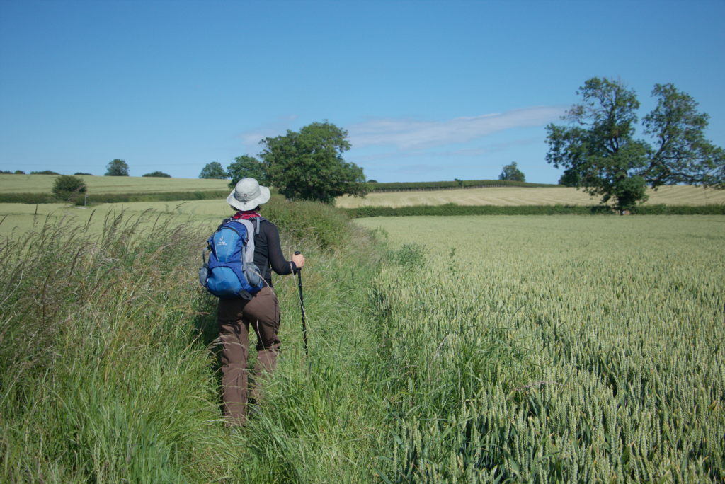
We met a few nice people that day and spent most of the way walking with an American, who did the C2C alone while his wife drove ahead with busses or taxis. That wasn't their plan, but apparently she had injured her foot right before they flew to the UK, so she couldn't do the hike. I guess when you've payed a few thousand dollars to even get to the start, you don't just abandon the project and turn back. So every morning he set off towards their next stay, while she would take whatever public transport was available (if any) and awaited him there.
We also (briefly) met our friends from the day before again. They had finished their leg for the year and were heading back home. The next year they would start again at the same spot and continue on. Although, come to think of it, I wonder whether they ever did. Next year was 2020 and there was this strange little plague after all...
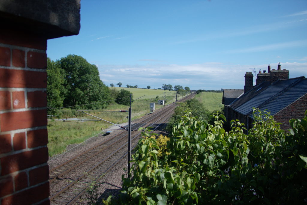
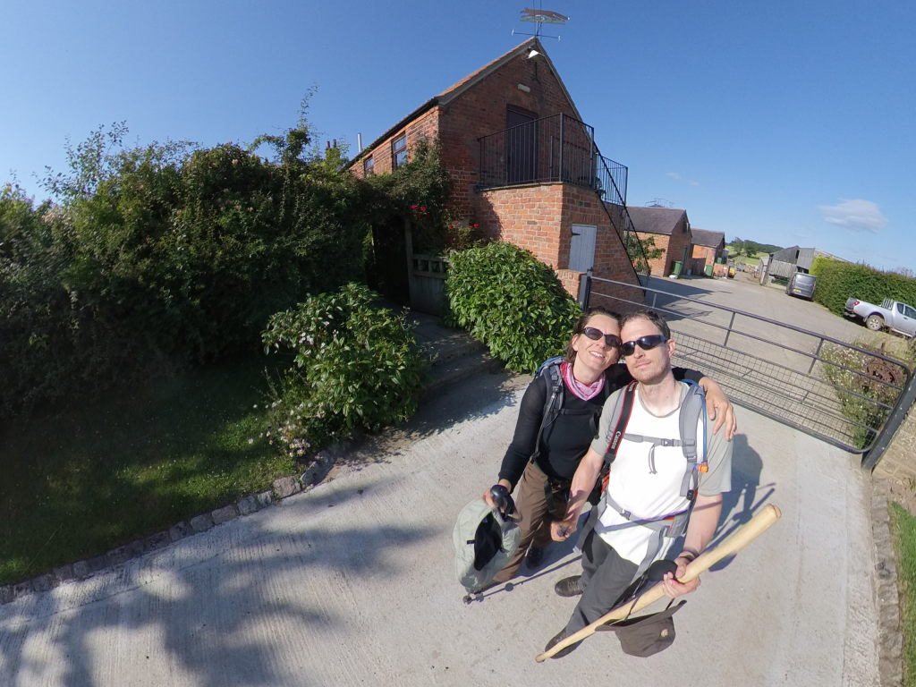
Our day ended at Lovesome Hill Farm, a working farm and B&B. When we arrived there, we were welcomed by Mary with hot chocolate. The exact right way to relax after a long (and quite warm) day. John and Mary are a couple in their 70s, running the farm as a B&B for a few years now. When they retired from fully running the farm (now taken over by their kids), they decided to have a go at the Coast to Coast themselves and decided they liked it. So they just continued hiking around the country. True role models...
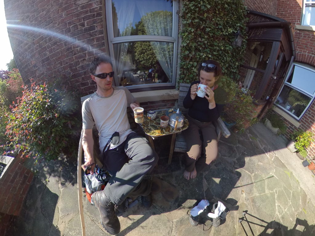
Mary did also treat us to a tasty omelette for dinner, after which we retired to our cozy beds, preparing our already quite tired bodies for the onslaught the next two days would bring.
Day 12: Far, far away - Lovesome Hill Farm to Clay Bank Top
Days 11 and 12 were basically just for crossing the wide valley between the Dales and North York Moors. Even a look at the map shows, that the area simply cannot compete with what we had already been to and where we were going. The path even seems to basically follow a small strip of green inbetween vast expanses of agricultural land. This kind of reflected in our view of those two hikes: just get on with it!
We set off from Lovesome Hill Farm for a long day, the longest so far in fact. 30 kilometers to get to our next national park: the North York Moors.
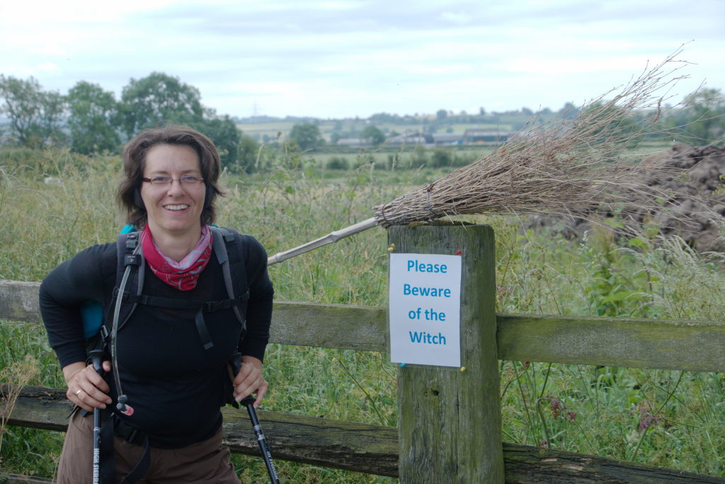
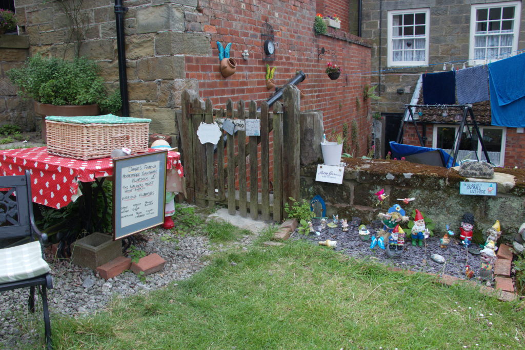
The first 10 km were not really interesting. Flat as a tabletop, the hills of the moors in the distance as if to call us to them, while still not getting any closer. At least the people along the way were being creative. I've mentioned before, that public rights of way may run through people's property today, because some hundred years in the past there was a way between two small fields that have since merged to form larger property.
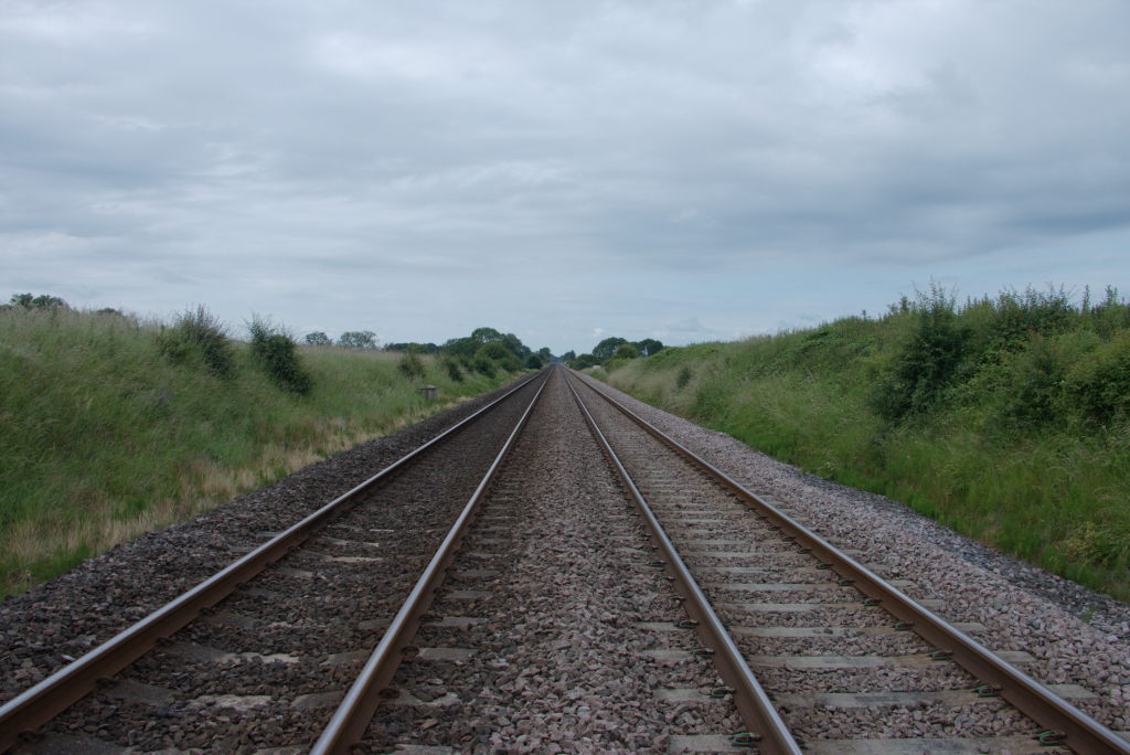
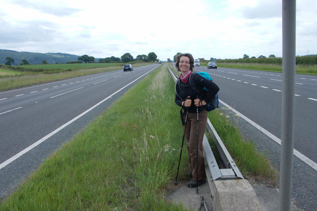
Walking between the national parks also means crossing quite a bit of infrastructure. The parks themselves basically have no significant infrastructure crossing through then, so all roads and railways have to squeeze through between them. Just like we had to cross the M6 between the Lake District and Yorkshire Dales National Parks, we now had the A1(M) and East Coast Main Line (the day before), as well as the A19 and and the Middlesborough branch of the East Coast Main Line before we could finally get back to the tranquility of a national park.
Finally, after roughly 40 km of flat, rural landscape we finally got to go back to nature again. The path started to slowly climb up into Arncliffe Wood. After a final look back at the plain we'd just crossed, we turned to continue into the North York Moors.
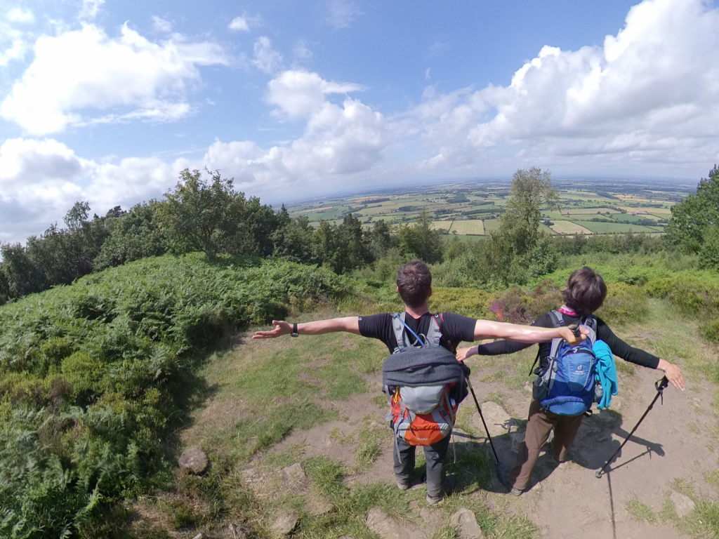
We followed the northern border of the moors, giving us sweeping vistas of the flat area to the north. These vistas also included Middlesborough. Quite the difference to the tranquil surroundings of the North York Moors. Middlesborough is one of those industrial towns that sprung up in the 1800s with around 150,000 people living there today. An interesting piece of information that would come up later that day: the city has one of the lowest life expectancies at birth for young males around the UK, a full 6 years lower than the area we were just walking though, just 10 km to the south.
The C2C meets two other long distance trails in that area: it shares a few kilometers of track with the Cleveland Way, a 177-km-trail from Helmsley to Filey, as well as the Lyke Wake Walk, a 64-km-walk through the North York Moors.
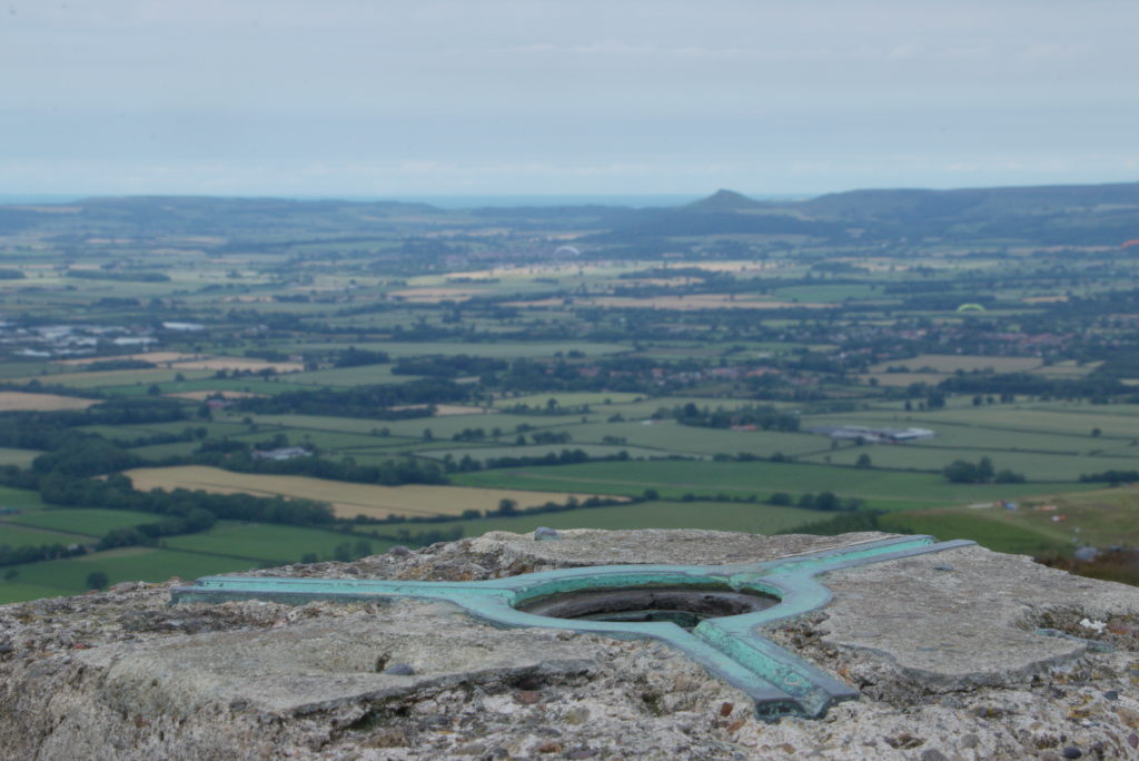
An interesting part of architecture/infrastructure we encountered on the ridge of the moors are trig points. A concrete pillar with a three-armed brass plate with a screw thread at the top, those would serve as measurment beacons for triangulating the countryside. Triangulation is a way of measuring distances by measuring angles. It is based on the fact, that a triangle is acurately determined by the length of one side and the two adjoining angles (because then you can always draw the remaining sides and see where they will intersect). To survey an area, you simply stick those points in prominent places, say: the ridge on a high part of a moor overlooking a large valley, very, very acurately measure the angles to other trig points and basically fill in the area with the network of triangles formed by the lines bordering your angles. This gives you the correct shape of everything in relation to each other, but not the correct distances yet. To get the those, you only need to - again very precisely - measure the base line of one single triangle and calculate every other length in your network from there. This allows you to turn the problem of acurately measuring long distances in the landscape (which is, depending on the geography, very hard) into the problem of acurately measuring angles (which is relatively easy). To this day surveyors may use theodolites to perfom exactly the angle measurements required for the triangulation process (although combined with laser ranging).
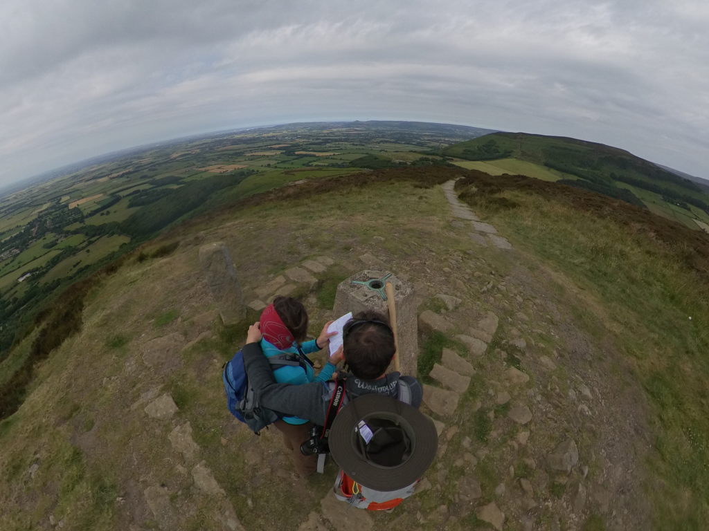
The trig points served as reference points to retriangulate Great Britain between 1935 and 1962. The screw thread on top was for mounting the theodolite, so you always reliably have the same position again and again, should you need it.
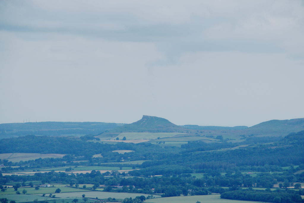
While at the trig point, we were happy to see one of the first points we ever hiked to in the area: Roseberry Topping, a solitary hill right at the edge of the moors, that is the highest elevation in the area (with a whopping 322 m). We went there in 2010 when we visited the first time and hiked around the moor. It felt a bit like coming home (again, totally irrational, because we've been there once years prior and were just passing through, but there you are).
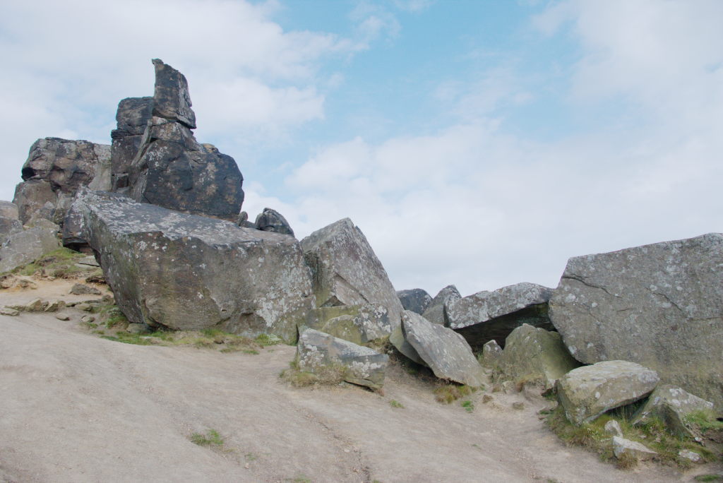
The remaining hike would still be quite the drain on our resources, because the path rises and falls with the different hills you pass over. So, down one hillside, level out, short "rest" for the legs, up the next hillside until we reached the Wainstones on Hasty Bank. These aren't exactly impressive, just a bunch of nice large blocks of stone on top of the hill people use for climbing. What they are good for, however, is as a landmark. We needed to give our hosts for the night a quick call to pick us up some time later. The C2C passes over Clay Bank Top and goes on into the distance. Since our hike for the day had already reached 30 km at that point, we really did not want to go on. Accommodation directly on the C2C gets quite sparse in this area.
Luckily Robin and Jenny of Forge House in Chop Gate were happy to pick us up at Clay Bank Top and return us there the next morning. Our legs and feet were very, very grateful for that. They pointed us towards The Buck Inn down the road for dinner. A very traditional english country pub from the outside, it's being run by Wolfgang, a guy who emigrated from Franconia in Germany many decades ago. The menu had entries like "A duo of Bratwurst sausages served with mashed potatoes, sauerkraut, red cabbage and onion gravy" as he couldn't really deny his heritage. We had a quick chat with him and were delighted to discover, that even after all those years, he still had his soft franconian dialect when he spoke German. Manu felt right at home.
After a relaxing dinner we returned to the Forge House and sat down with Robin in the kitchen, talking about all kinds of things till late in the night. He was particularly interested in our view on Brexit, so we (again) broke our vow to not talk politics and conveyed our confusion about the whole affair. He also was interested about us growing up in the GDR and how we experienced the fall of the border in 1989. He was stationed in West Germany with the british army around that time and told us stories about how he traveled around the GDR right after the borders opened. It was interesting to hear, how someone with a complete outside view experienced the country we were born in. And he even still spoke some German.
After a very long, exhausting, but also interesting day we finally fell on our mattresses to relax and recharge for the next day. We would certainly need it...
Day 13: I think those feet are done - Clay Bank Top to Glaisdale
As I said: the opportunities for staying the night get few and far between around this part of the trail. Apparently this was not an issue for Wainwright, who considered 30 km a normal day's hike. But for normal people this might be a bit much, so we were already exhausted by the 30 km hike the day before (and the 25 km on day 11). That didn't exactly bode well for another one of those...
Robin dropped us of at Clay Bank Top to rejoin the C2C trail and we started out the day with quick 100 meter climb in the first kilometer, followed by another 80 meters spread over the next 3 km. Luckily the path then levels out and just follows the contour lines across the moor. This makes the walk quite a lot longer, but at least you're not going up and down all the time.
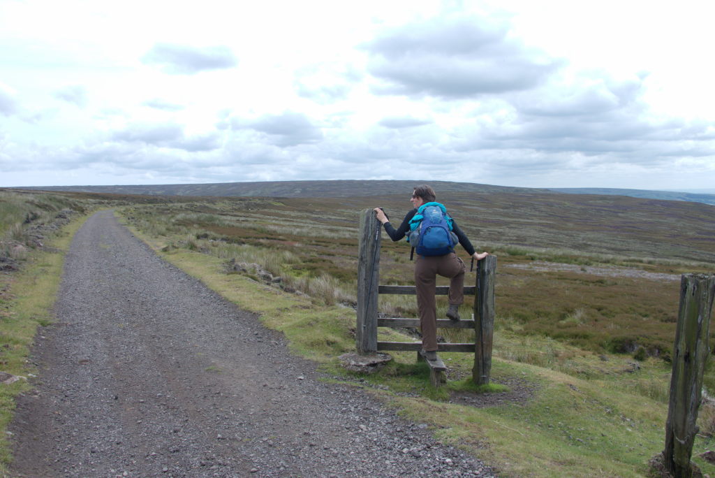
The whole day itself is a bit of a blur, because while it does give you really nice vistas over the North York Moors, in my head it is still dominated by the last few kilometers. We had a little rest near Blakey Ridge, found a water bottle in the grass, saw a couple walk in front of us, who we thought might have lost the bottle (they hadn't. We'll get to that later), and then at some point started the long walk down towards Glaisdale. That's when the effort finally caught up with us. Manu's knee was acting up, not so much due to the heavy load or anything, but purely because the back-to-back distance of the last three days was too much. So, for a short time, I got to feel totally manly and carry two backpack. Until my feet started complaining. So, yeah...
Oh, by the way, just to add insult to injury, just before we came to Glaisdale proper, we met a guy walking the other way and had a quick chat. Turned out: he was doing the C2C the other way around and wanted to finish in 9 days. So he had started that day and was somewhere around 40 kilometers at this point, looking significantly fresher, than we did/felt.
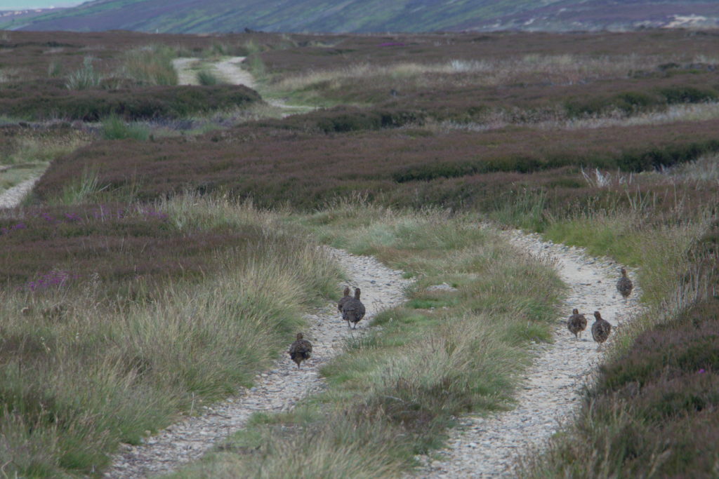
Like two broken veterans we limped on down towards Glaisdale and our room for the night. We stayed in Greenhowe B&B, a tiny B&B with just two rooms, but boy did we have the great room. Basically the whole top floor under the roof was one giant room with the bed in front of a big window off to the side in a gable. Plenty of room to just lie down on the floor and congratulate ourselves on the 60 km done in 2 days (and also pity ourselves just a little bit).
When we finally reemerged from our room, Dick, the host, asked us, whether he should drive us down to the local pub for dinner. "Nah, we'll walk.", we said. We idiots... You see, Glaisdale is surprisingly hilly with the pub being a good 80 meters lower in elevation than our B&B. And walking downhill really was a bad idea after this day. While we hobbled down the street, the other guests staying at the B&B had made the way more sensible decision and took up the offer to be driven down. On his way up Dick just told us to hop in and he'd drive us as well. This time we happily accepted.
While at the pub, we met the couple again, that were walking in front of us on the moors. We asked them, whether this was their water bottle (it wasn't, so we kept it. We have lost it since, however. Maybe somebody else gets to enjoy it now for a few years and then accidentally passes it on) and they told us a bit about their day. On the moors they did turn a corner where we didn't want to follow because our guide said something else. Turns out: our guide was correct. While we stayed on the ridge, following the C2C, the two of them got seriously lost. They even had to cross a field with a bull in it (not something you really like to do) and scamble up a hillside (the terrain gets quite steep when you leave the ridge). At some point, exhausted and unsure where they were, they were even ready to call mountain rescue, when they heard cars overhead. Turned out that they ended up a few meters below the road that we had been walking on shortly before, which would've been the right way all along. Happy to have found their bearings again, they arrived about an hour after us at the same B&B. See, people, that's why you always want a map with contour lines. If those bunch up really closely, you're probably in for a wild ride (and might rather go look somewhere else).
The way home in the dusk was pleasant enough until we finally fell into our bed and were probably unconscious before we even hit the mattress.
Day 14: Into familiar territory - Glaisdale to Intake Farm
The penultimate day brought us into familiar territory, at least for a short time: along the route for the day sat Grosmont, which is one of the stops along the North Yorkshire Moors Railway, so we've been there quite often via the railway. This time, however, we would cross it perpendicular to the tracks. We'd come from the west and leave towards the east, in line with the last two weeks of hiking.
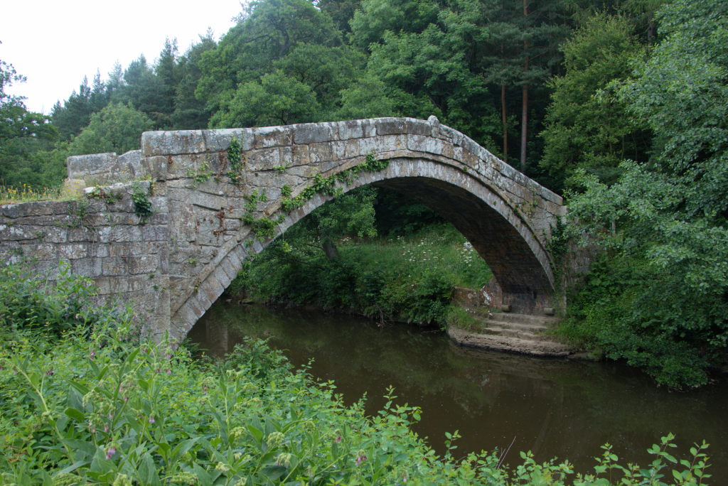
But let's start in the morning: after a very relaxed breakfast and a bit of smalltalk with our hosts, we started the day out decidedly downhill. Basically the same way as the day before to the pub, only this time we would continue on along the River Esk. Our first stop for the day: Beggar's Bridge (or Lover's Bridge). Legend has it, that it was built by one Thomas Ferris, the son of a small farmer (who was presumably quite poor). He was madly in love with Agnes Richardson, the daughter of a significantly richer farmer, who disapproved of the relationship. The lovers met in secret at the spot where the bridge stands today. When Thomas left for the seas to make enough money to marry his sweethart, he wanted to meet her one last time, but the River Esk was swollen, so he couldn't get across. After he returned from his journeys a rich man, he built the bridge so that no lovers would ever be separated by the river again.
The first few kilometers of the day were along the the River Esk, with only slight ups and downs (which was very appreciated after the days before). Mostly through woods, the way was really a quiet one. Basically no sweeping vistas, that had shaped the days before, but rather tranquil, remote paths, sometimes glimpses of the river, the odd sound of the trains chugging along the Esk Valley Line.
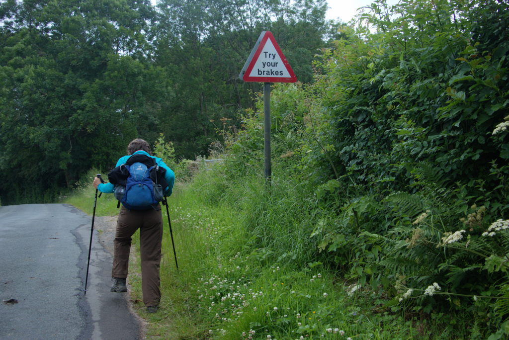
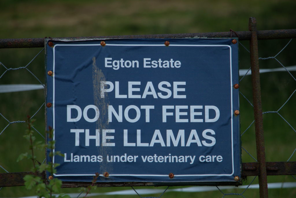
Once we reached Egton Bridge, things started to get a bit more civilized again. Even Llamas made an appearance. The trail now follows Barnard's Road, the old toll road from Egton Bridge to Grosmont. A nice little Sunday afternoon walk, quite the difference to many of the trails we had seen so far.
Grosmont came into view right around lunch time. Since we didn't have so many kilometers to cover this day, we could afford a long rest and a very delicious lunch with a view of the historic steam trains.
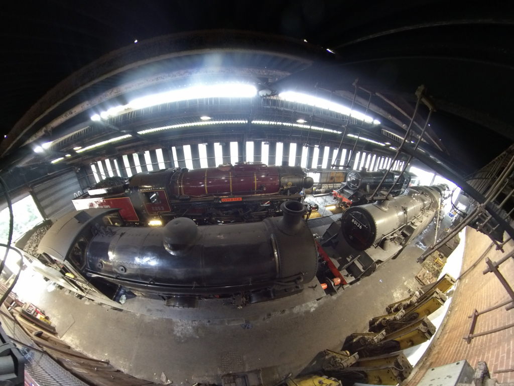
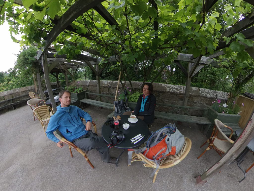
After a well-earned rest the hike got significantly steeper. Grosmont lies in the Esk Valley, from where the ground rises over 200 meters to Flat Howe in roughly 3 kilometers. So, up we went, only to then drop 150 meters again towards the Intake Farm.
There's a saying that you haven't really done the Coast to Coast Walk, if you didn't get wet. That was a bit of a problem. Even though we did have significant rain in Bampton Grange, we managed to get inside before the rain actually started. So, I guess we were kind of relieved to walk the last few kilometers of the day in a light drizzle. At least now the hike actually counted...
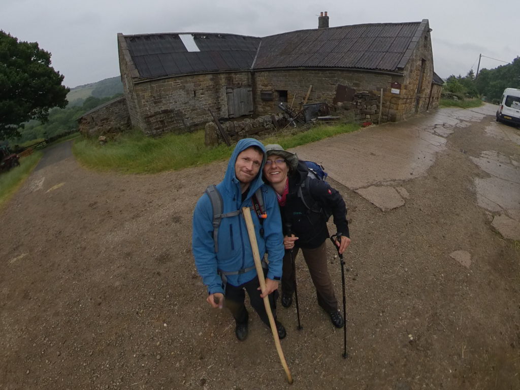
With the day winding down in a slightly gloomy atmosphere, we joined our hosts and their friends for dinner and then had a quiet evening, kind of letting our minds wander, dwelling on the fact that this was our last night along the way. After walking from accommodation to accommodation every day for the last two weeks, this was a bit of a strange feeling. With those thoughts we went to bed quite early, because the last day would be the first in a long time, where we had an appointment: we needed to make it to the train in Whitby in time.
Day 15: To the sea! - Intake Farm to Robin Hood's Bay
We woke up quite early for our last day. The rain of last night had cleared off, leaving an overcast sky and the temperatures low enough to warrant fleece jackets. Intake Farm is a bit outside Littlebeck, the already quite remote village it belongs to.
In Littlebeck the C2C plunges down into Little Beck Wood along the small creek also called, unsurprisingly, Little Beck. The secluded wood path follows the beck up to Falling Foss Waterfall and then along another small beck until it rejoins a farm road. From there it's up out of the valley to the New May Beck farm, where it veers off to the right to go straight across the moors again. Once we were up far enough in the moors, we could see glimpses of Whitby Abbey on the horizon. Tantalizing as it may have been to just walk straight for the abbey, we wanted to get to the coast and even turn away from it first. The point where the C2C reaches the coast is actually south of Whitby, with the endpoint in Robin Hood's Bay being further south still.
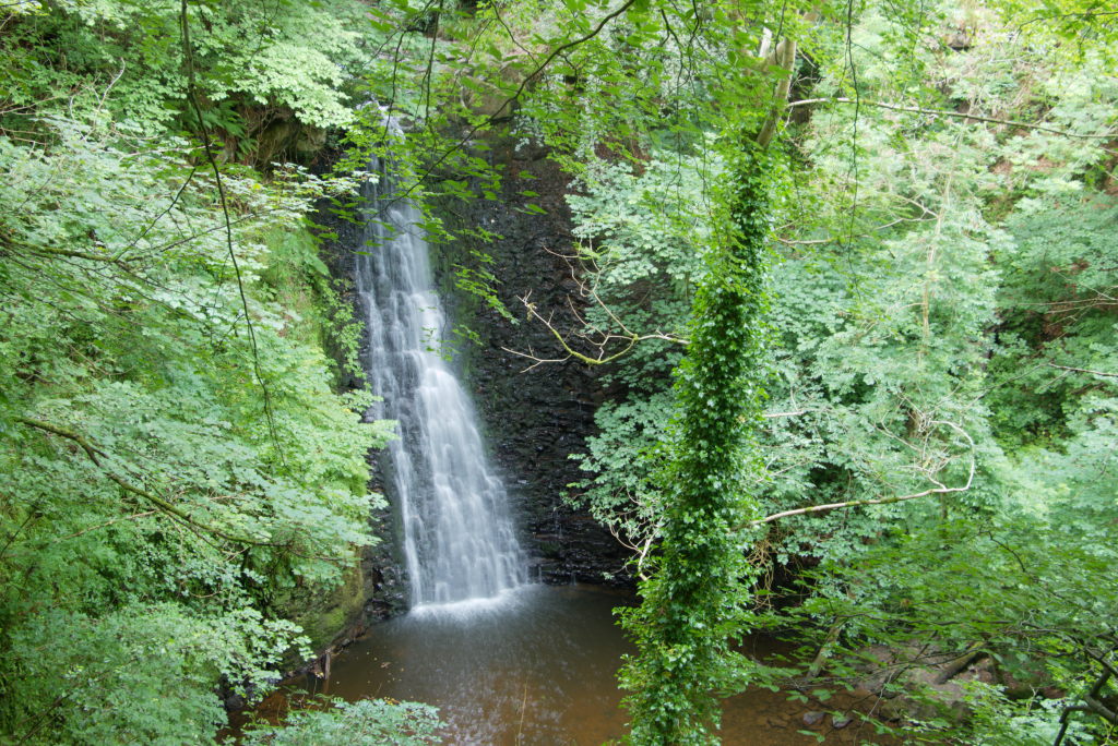
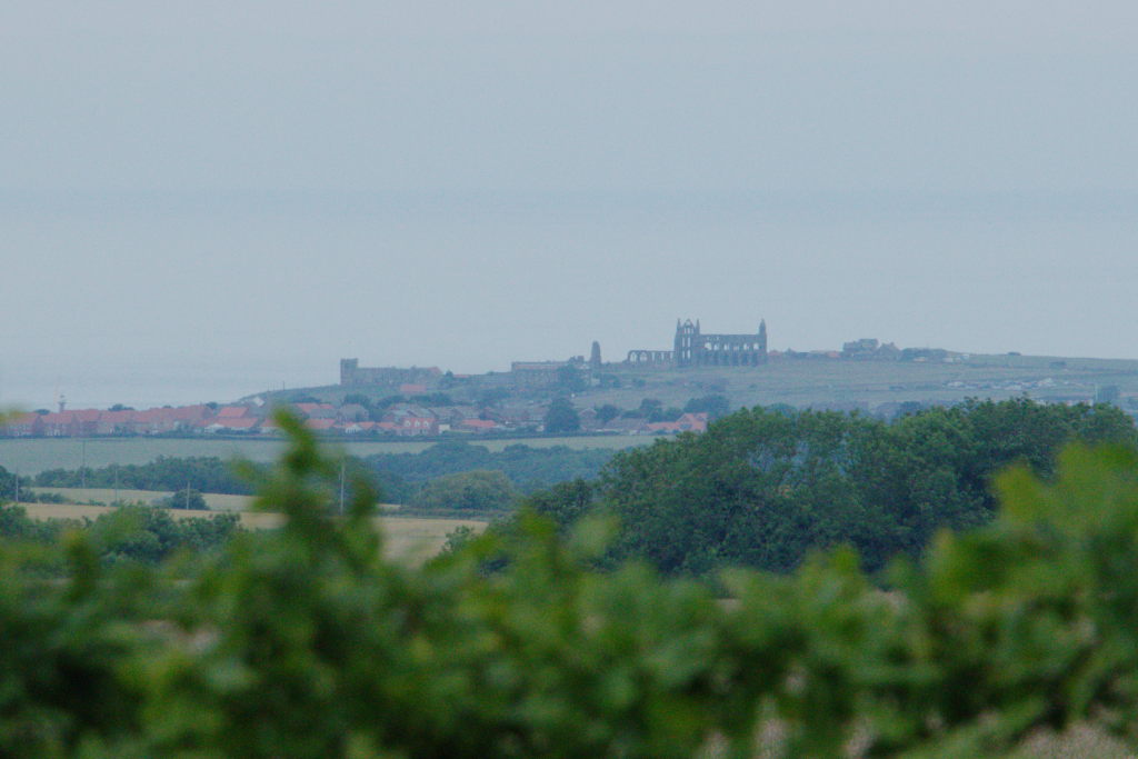
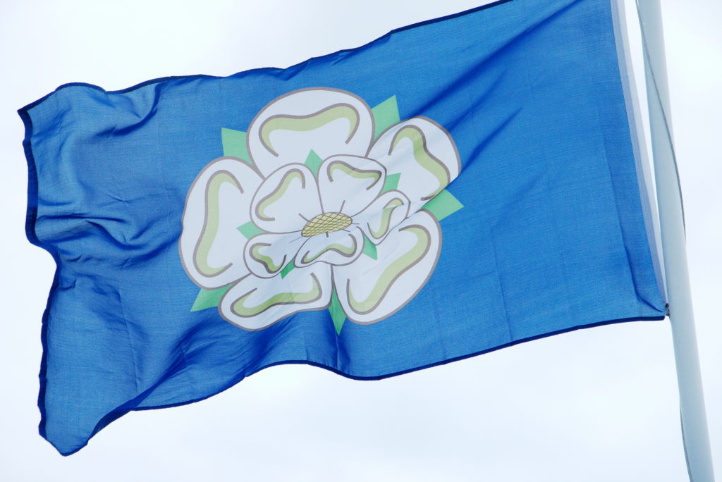
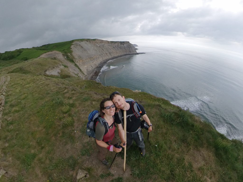
Right around lunchtime we had finally, after two weeks of walking, reached the coast. It was a bit of a strange feeling. On the one hand it felt like it was over, but on the other hand there were a few kilometers still to go. You wouldn't want to just turn around now without actually having reached the finish line. So we turned south, following the cliffs towards Robin Hood's Bay for another two hours. Reaching that village was kind of a weird experience. There were a lot of people around, way more than we were used to seeing in the last two weeks. Many of those were day-trippers or regular tourists. We felt somewhat out of place, even though we were exactly where we were supposed to be.
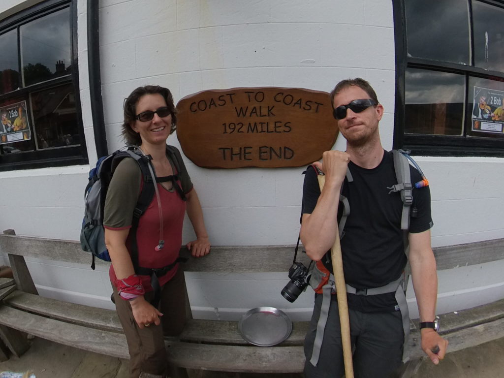
And then, after 306 kilometers, we were finally there: The Bay Hotel, Robin Hood's Bay, with it's plaque denoting the end of the Coast to Coast Walk. It was a bit anticlimactic, to be totally honest. It's basically just a wooden plaque hung over the outside tables of the hotel bar, with tourists trying to lean out of the way, while we were taking our selfies. We did go inside and recorded our visit in the hotel's log book. To our delight we found Alex's entry two days before. So she did make it as planned. After that, we dutifully threw our two stones into the North Sea, moving Great Britain ever so slightly closer to Scandinavia, as was the plan all along with the C2C (I'm convinced). A few more pictures and we were off again: pick up our luggage from Sherpa Van one last time and go get a bus to Whitby.
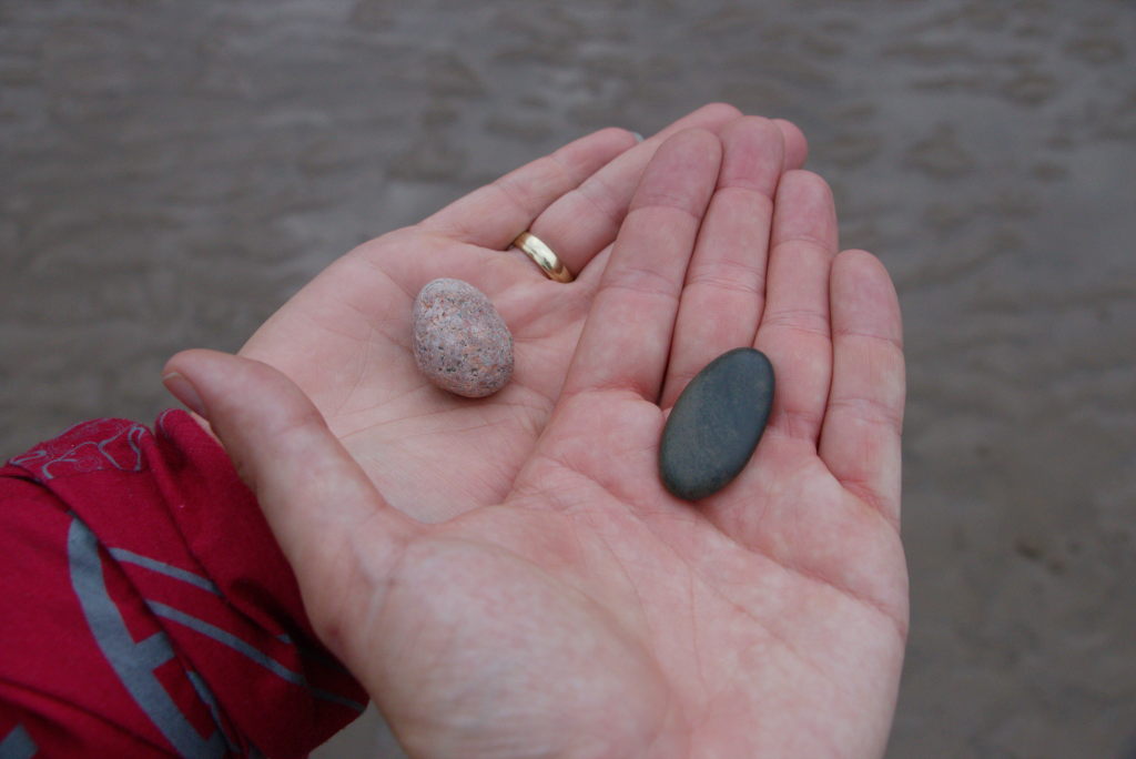
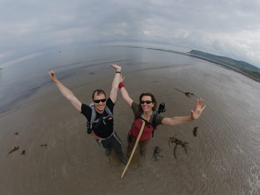
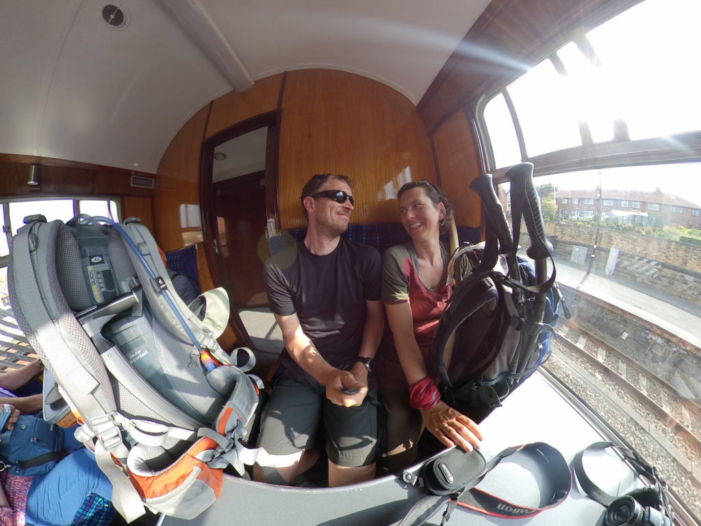
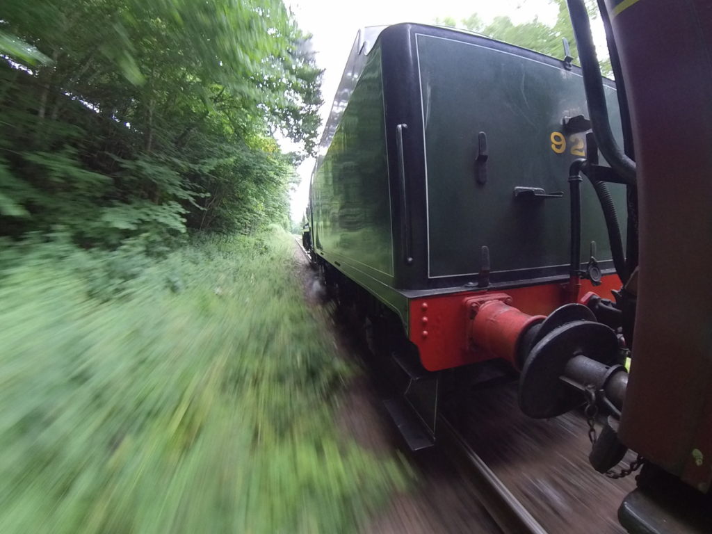
The rest of the day is quickly summarized (even if it took quite a lot of time to actually go through it): we managed to pick up our luggage just in time to catch the bus to Whitby, again, just in time to catch the last train to Pickering. In the end there was no rush, though: the train was late and became even later still on the way back. We passed through Grosmont again, where we just had been the day before. We had some time to enjoy the view of the moors until we reached Pickering Station, where Ian picked us up, marking our personal end to the Coast to Coast Walk.
Epilogue
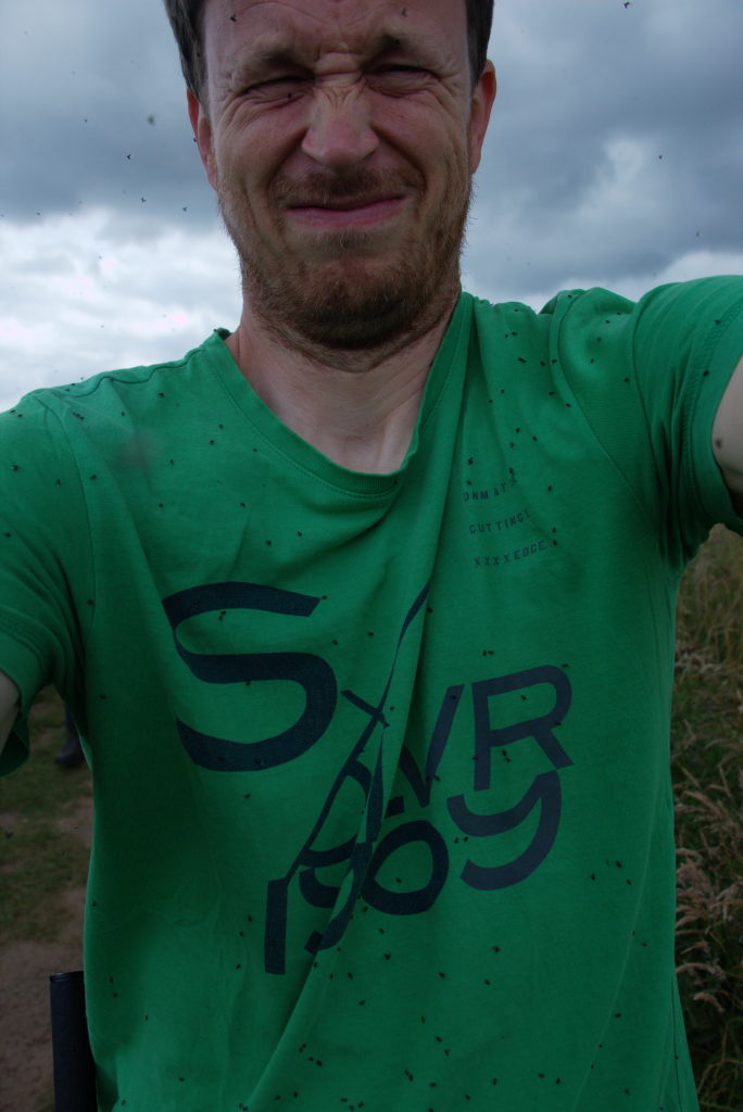
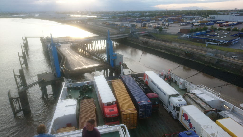
We stayed for a few more days with the family before heading back home. Ian took us for the best fish & chips (his quote) in Filey and also to be eaten by bugs while looking at puffins in a nature reserve. We got to spend some relax time in Pickering, slowly getting used to not starting a long hike every morning. And finally it was "goodbye" and back to Hull to catch the ferry to Rotterdam, go pick up Max and get back home.

Would we do it again? Absolutely yes! In fact, we did, multiple times. I'm writing this a few years later and we've had a hike of more then 100 km every year since. I'm beyond grateful to Josie for convincing Manu to actually give it a go. Manu summed it up best when looking back on the hills of the Lake District: "We walked all of this. This feels like you could do anything!"
Would we recommend it? Depends... If you could see yourself enjoying hikes of (on average) 20 km for multiple weeks: yes. The landscape is varied, the people are nice, the infrastructure is decent (the C2C is served by multiple companies who will carry your luggage and also has a good selection of accommodations that will take you for a single night, something that might be a problem outside the reaches of well known trails). It's never really out in the wilderness, but still lonely enough to give you that self-sufficient-hiker feeling, that I've come to enjoy. We loved it as our first proper multi-day hike and it gave us the confidence to tackle more trips even without luggage transport.
Thank you Josie & Tobi for joining us, thank you Helen & Ian for taking us in, thank you everybody along the way who made the hike a memorable experience, be it by being a good host to us, walking along for a few kilometers and a chat, serving tasty food or just keeping up the trail for us to walk through!