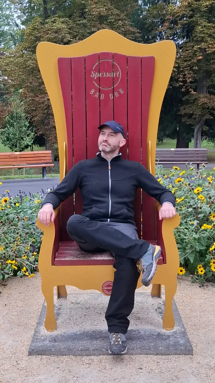
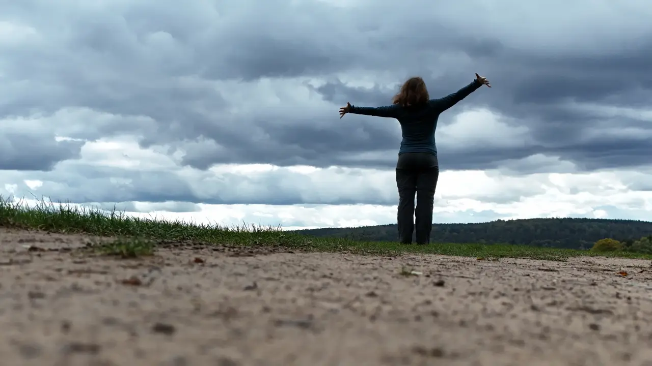
No Woodpeckers in Sight – Spessart 2024
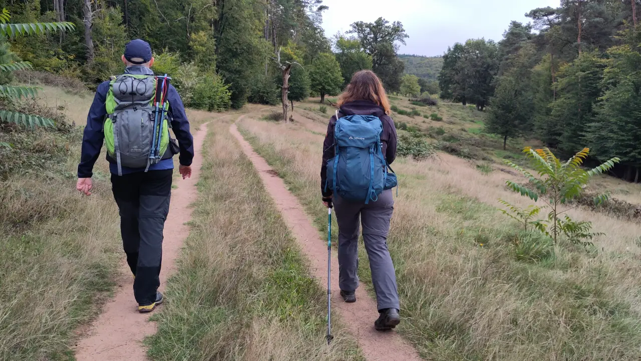
One of those low mountain ranges that I mostly knew in a sort of proverbial sense (old cheesy "Heimat" flicks, anyone?) but that actually exists: the Spessart. The name apparently comes from old German words for "Specht" (woodpecker) and "Hardt" (mountain forest), which is why our hiking trails this year (Spessartweg 1 to 3) are marked with a woodpecker logo. This time we didn't plan a single continuous trail but instead stitched together a route from several different ones: a large section of Spessartweg 3, a small piece of Spessartweg 1, and a few ordinary forest paths in between to take us from Steinau an der Straße to Langenprozelten. Unlike the previous two years, this time it wasn't a loop, which of course makes the logistics a bit trickier - but on the other hand it always offers new views, instead of coming back to old ones in the end.
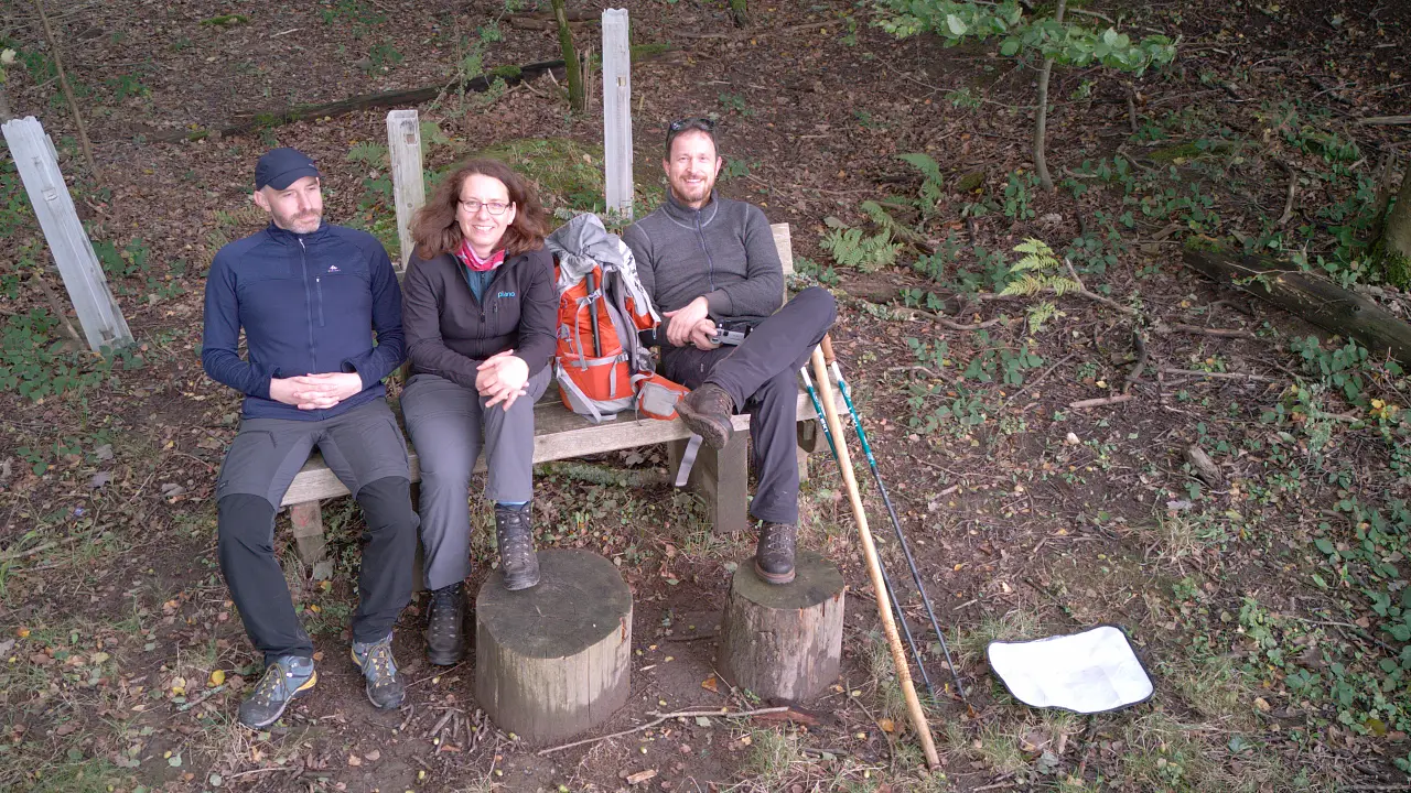
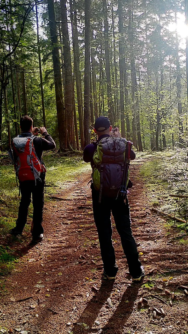
Unfortunately Lütti couldn't come this time. Marcus, however, was keen to try out what it's like to walk his feet off (and at least for me that would turn into a pretty big problem this year - more on that later).
Getting there
This time the trip wasn't that long. Just under two hours by car to Schlüchtern, where we had booked a hotel for the night. One of those funny "automatic hotels" that work more like sleeping lockers: out in the middle of a field, in... let's say "budget" container-style construction, a few rooms with doors straight to the outside, parking spaces in front, and you unlock the room via an app. Cheap, though, and available for single nights (which can sometimes be a problem with more traditionally run places where smaller accommodations occasionally shy away from the effort of one-night stays). The rooms themselves are normal-sized and have their own bathrooms. The operation just feels like a parcel locker…
On the first evening we treated ourselves to some Japanese food in Schlüchtern at NAOGHI. Nice little restaurant, slightly chaotic charm, very good food. The salted edamame as a snack were brilliant, the sushi just as tasty. The rest of the evening in our "locker" was rather uneventful and short - we wanted to get going fairly early the next morning.
Day 1 – Back to the 80s: Steinau to Bad Orb
Our day started fairly early and (unusual for a hike) first with a car and a train. After a good breakfast at the local bakery we drove to the station. The problem, as so often: the car has to stay somewhere while we're hiking. That wasn't possible at the locker hotel, but the station had long-term parking at reasonable prices. That was actually the main reason we decided to start in Schlüchtern instead of directly in Steinau. To avoid overdoing it distance-wise right away, we first took the regional train from Schlüchtern to Steinau. You can already feel the influence of nearby Frankfurt. Schlüchtern and Steinau are on the Kinzigtal Railway, part of the Frankfurt – Göttingen main line. Accordingly, trains run more often than just once an hour, and there are a few more passengers around - from school classes to commuters.
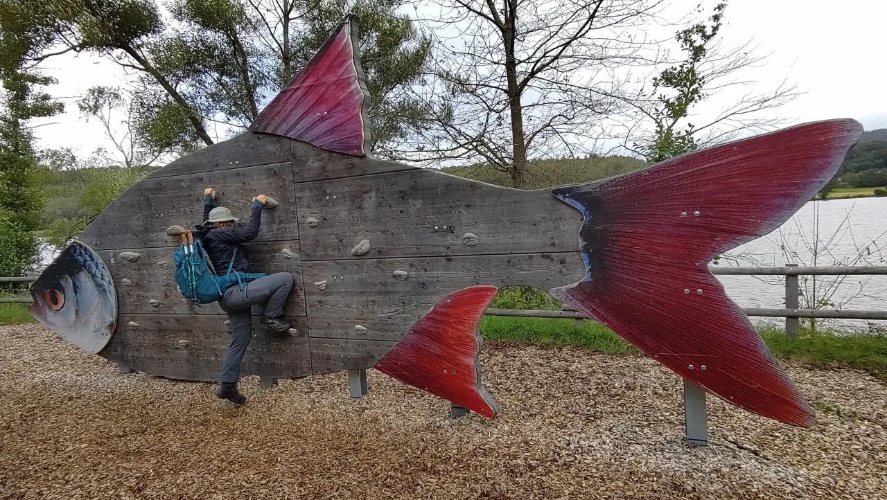
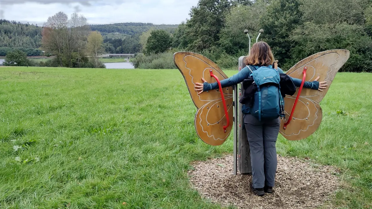
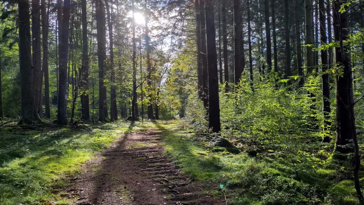
Our trip, however, was just a short hop of six minutes between two neighboring stations, so shortly after arriving we could finally start walking. The station in Steinau was conveniently located for our hike. Just a short walk through a residential area and we were leaving town on our way to the Kinzigtalsperre. Unfortunately this first section is a bit noisy, as it runs along the cycle path next to the K987, which is surprisingly busy for a country road. Scenically the walk is still OK because it's between trees - but the sound is there. And open-air art. Which was actually quite funny.
After a short detour onto the dam itself, you finally get away from the road and walk a bit more secluded for the last meters toward Ahl. There we left the valley and headed over the hill toward the Hirschborn ponds. Our actual destination for the day was Bad Orb, which you can reach much more directly. That would mean staying in the (rather noisy) valley of the A66 the whole time, though. We preferred to add a few extra kilometers and enjoy the quiet forest instead.
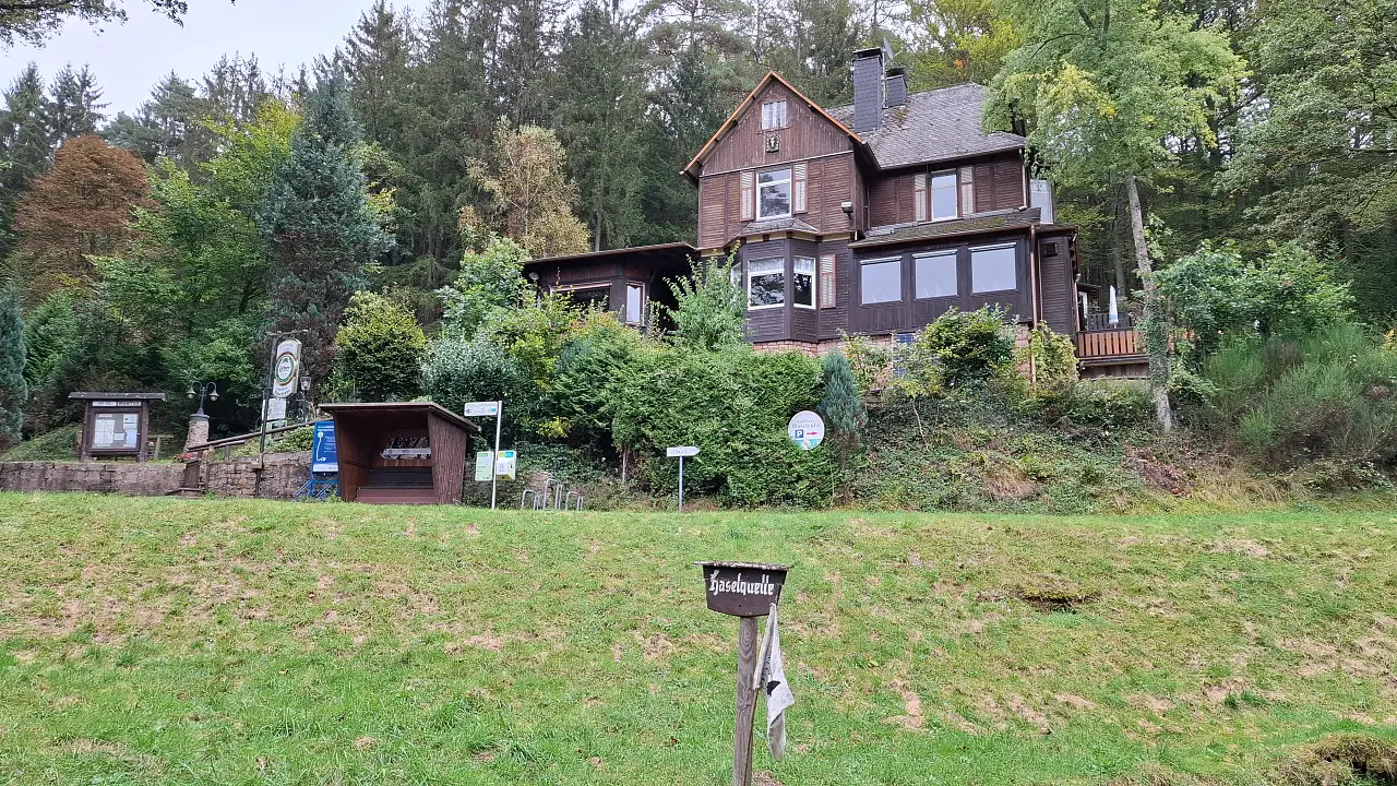
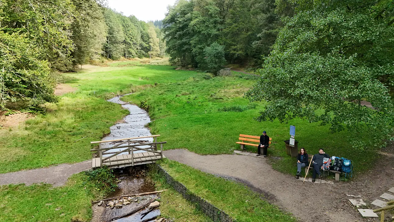
From the Hirschborn ponds we crossed the next ridge toward the Hasel spring. There you'll also find a Spessart Inn (OK, not the inn. Just an inn.) Unfortunately it was closed, so we had to resort to eating our own supplies.
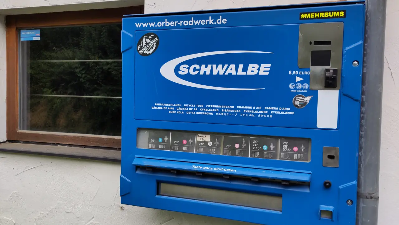
The rest of the path then led us comfortably along the Hasel toward Bad Orb. In the small side valley through which we entered the town, my inner twelve-year-old got his moment: mounted on the wall of a bicycle shop was a vending machine for inner tubes. Basically like a cigarette machine - except it dispensed bicycle tubes. A machine that spits out rubber items and is labeled "#MOREBANG". Yup...
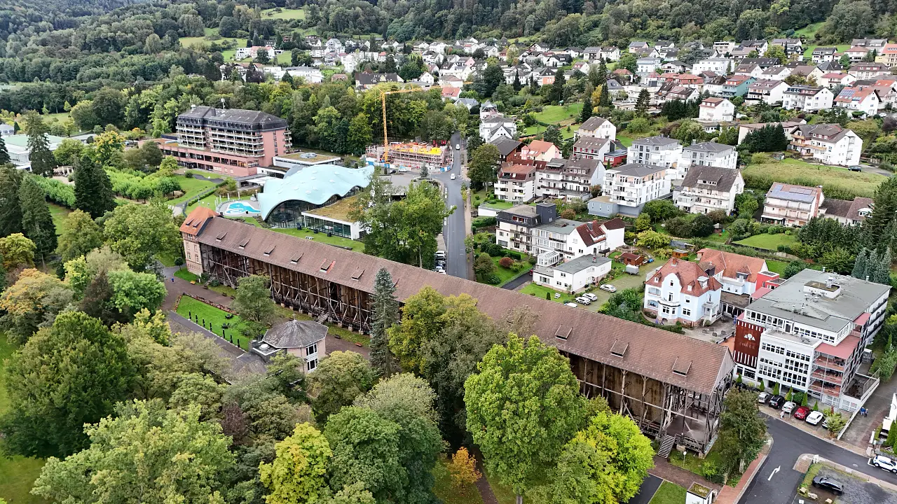
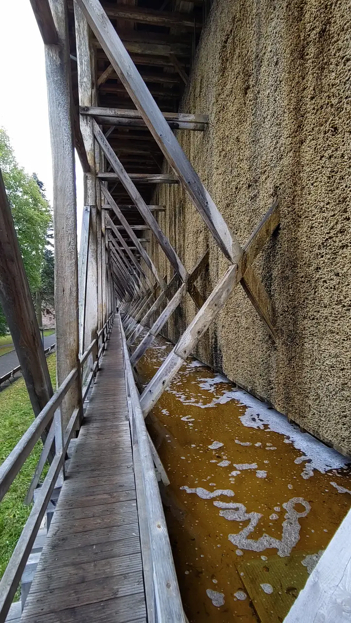
We had already had a short stay in the area the previous year and met a colleague in Bad Orb. Even back then I had the feeling that the town mostly lives off its 80s legacy. This time again I often had the impression of "something used to be happening here." The heart of the town is a large (and quite beautiful) spa park with a graduation tower. Around the park you'll find the thermal baths, rehabilitation clinics, hotels, etc. Much of it very much in the style of past decades (especially the wellness hotel at the spa and the concert hall breathe the spirit of the 80s). Maybe I'm doing the town an injustice, but I couldn't shake the feeling that its best days are behind it (the sometimes very visible campaigns against wind turbines, invoking the spirit of "don't change anything," unfortunately don't help either). Our hotel for the night was Hotel Rheinland. Again: its best days seem to be in the past, even though the hotel itself is perfectly pleasant for sleeping (the website looks much more modern than the hotel).
For dinner something healthy: carbs, salad, protein - a döner kebab. And with that the day was already over. The first day is always quite tiring because you have to get back into the rhythm of hiking first.
Day 2 – A lonely hotel outside the village: Bad Orb to Flörsbach
After a relaxing night and a pretty good breakfast at the hotel we continued through the spa park in Bad Orb toward Flörsbach. Through the park the route is quite nice (though not exactly very natural). After that we walked for a while along the road toward Lettgenbrunn. It's not terribly busy, but there are certainly nicer places to hike. Only when the trail branched off back into the forest did it become more like what we imagine for a long-distance hike. After some time we reached a fence with a rather odd sign.
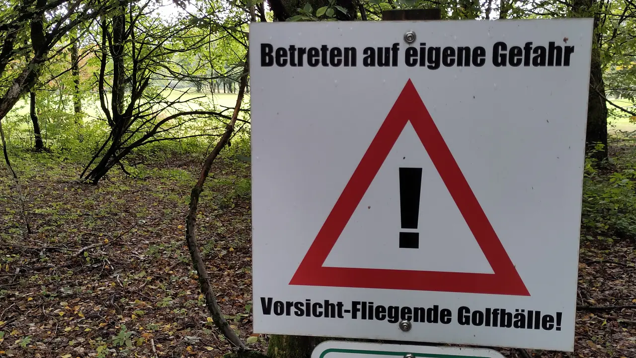
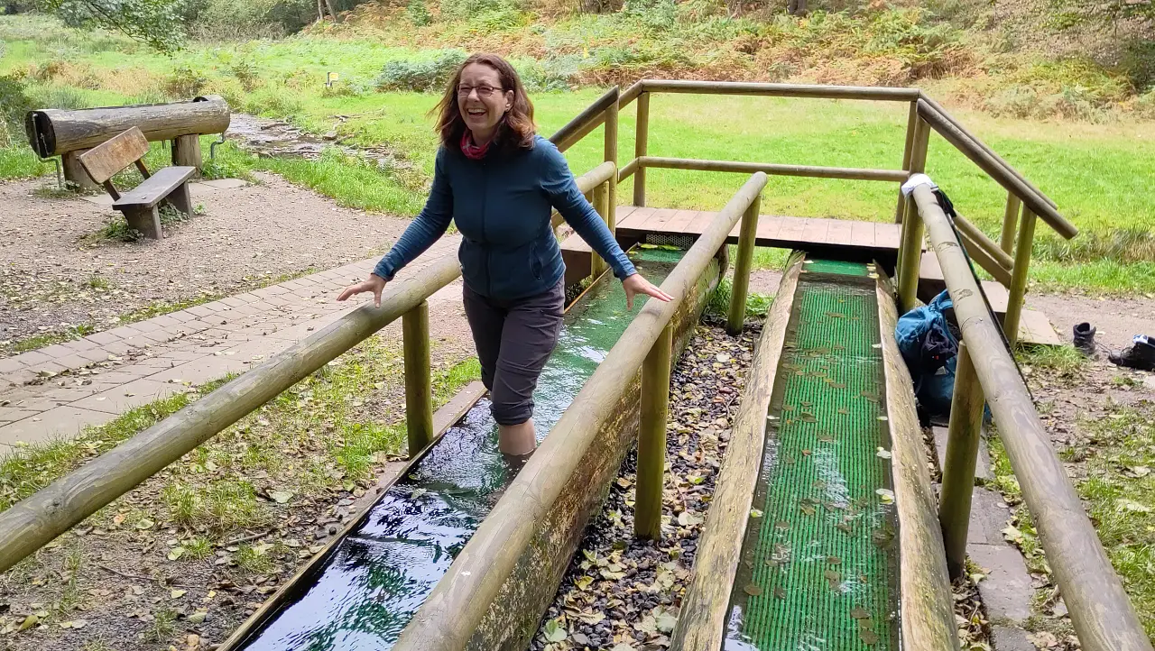
Fortunately we weren't in danger from flying golf balls. Apparently the course was closed and some kind of maintenance was going on (mowing the lawn, blowing leaves away with a gigantic leaf blower pulled by a lawn tractor - the usual stuff). So we could stroll across the grounds quite peacefully (apart from the noise of the leaf blower. The volume scales with the size...).
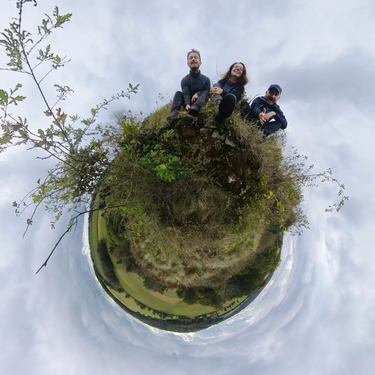
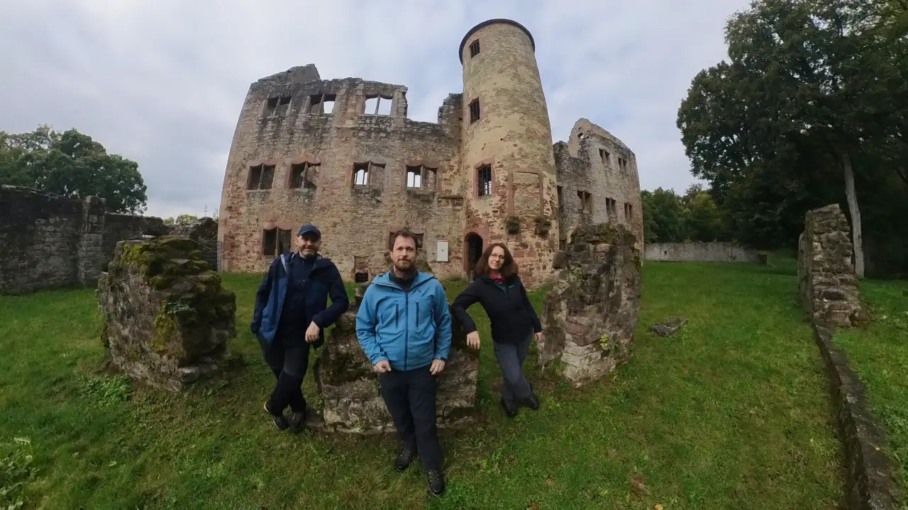
Our next stop was supposed to be the Beilstein castle ruins in its tiny little nature reserve. The ruins themselves are basically just a few foundation walls on a hill, but they're perfect for a break and a snack. You have to sneak through some bushes, but that only adds to the charm of the place.
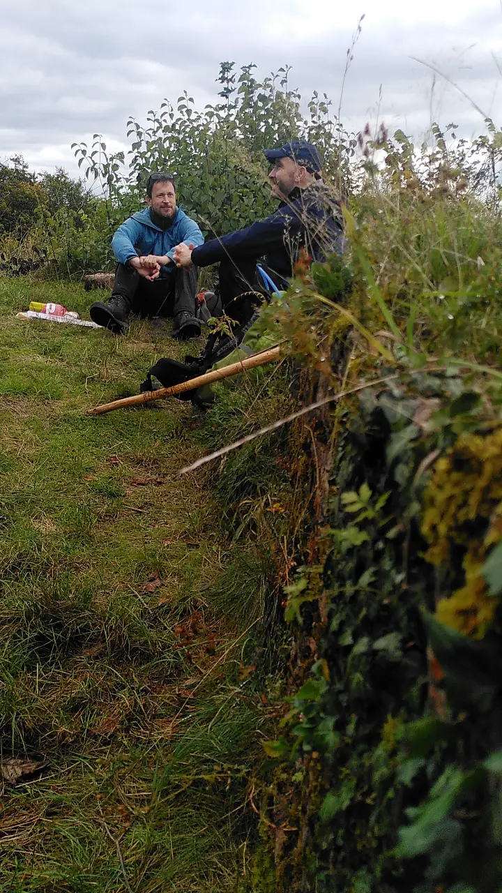
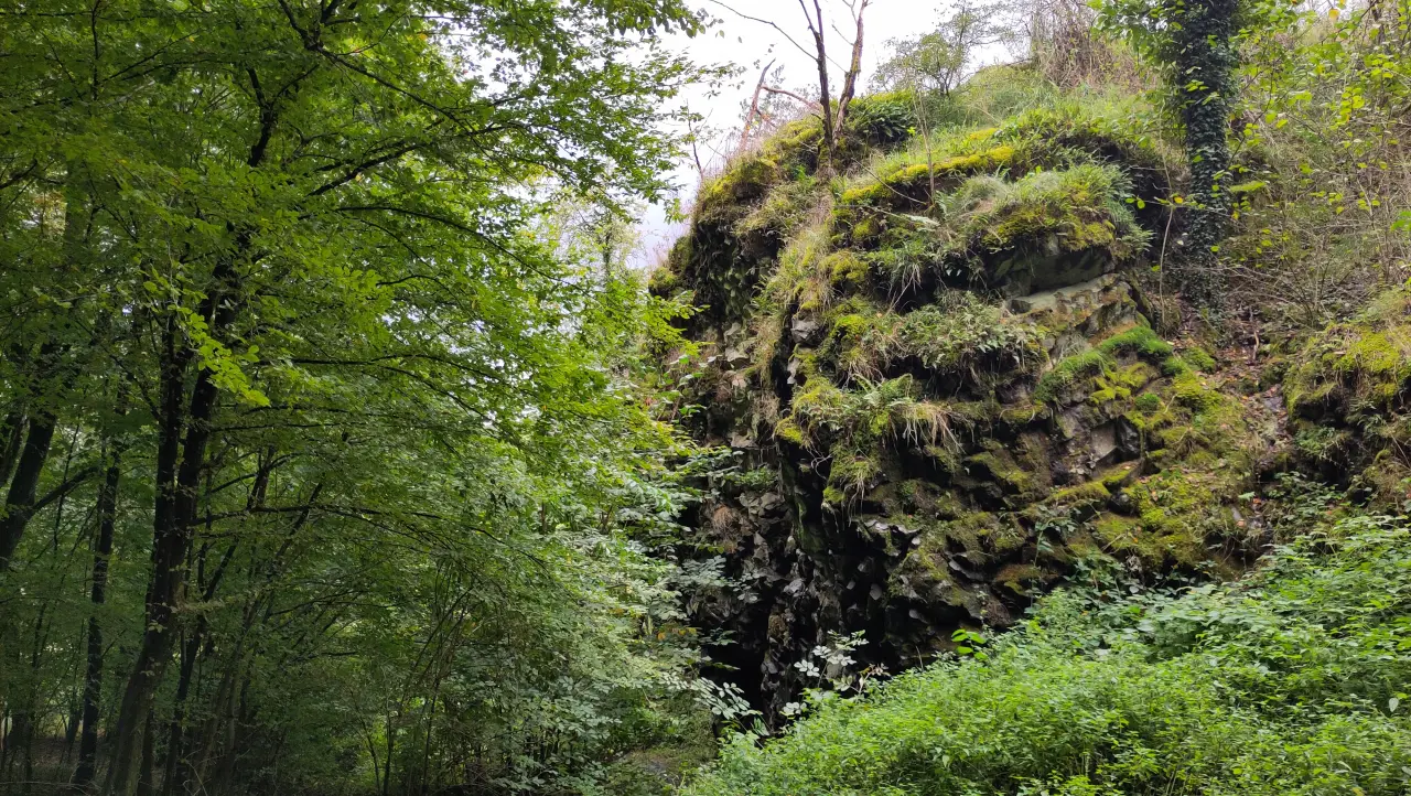
In the rock below the ruins there's a small cave. It's sealed with grates because its inhabitants are actually the reason this tiny nature reserve exists: bats that hibernate in the cave and the surrounding forests. Of course we didn't see any - but we were there during the day and wouldn't have wanted to disturb them anyway.
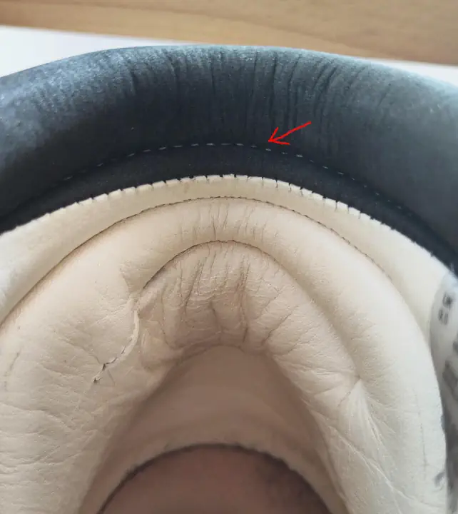
After the small lunch snack at the ruins we continued around and through Lettgenbrunn. While walking through the village a problem with my hiking boots slowly became apparent - one that would make hiking in the following days almost impossible.
The right boot had a manufacturing defect that created a hard seam right over my Achilles tendon. At that point two pieces of leather meet and are sewn inside-out. Normally this creates a noticeable ridge that would be very uncomfortable there, so in such cases another stitch is added through the existing seam to pull it into the underlying padding and keep it away from the foot. Unfortunately the second seam had been placed too high, pulling the normally soft padding inward instead of the annoying seam. As a result the seam started rubbing very unpleasantly right in the middle of my Achilles tendon.
After the (unsuccessful) attempt to make the shoe more comfortable we had a long uphill stretch ahead of us to reach the neighboring Flörsbach valley. The forest road wasn't exactly exciting - just a normal forestry track gradually climbing uphill in a mostly straight line.
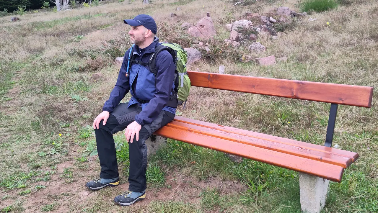
On the ridge there's a nice viewpoint, where we took another short break.
Flörsbach is a small village (just over 600 inhabitants). Not much going on, even though there's a pub (which was closed). Our accommodation was a bit outside the village toward Kempfenbrunn.
The inn was closed that day and there weren't many overnight guests. From the supplies we had brought along we managed to assemble a pretty decent dinner and enjoyed it on the balcony of our room. The evening ended up being very quiet - especially compared to the previous night when we had been strolling through the center of Bad Orb. But at least Manu go some amusing wine...
")
Day 3 – Haven't we been here before?: Flörsbach to Heigenbrücken
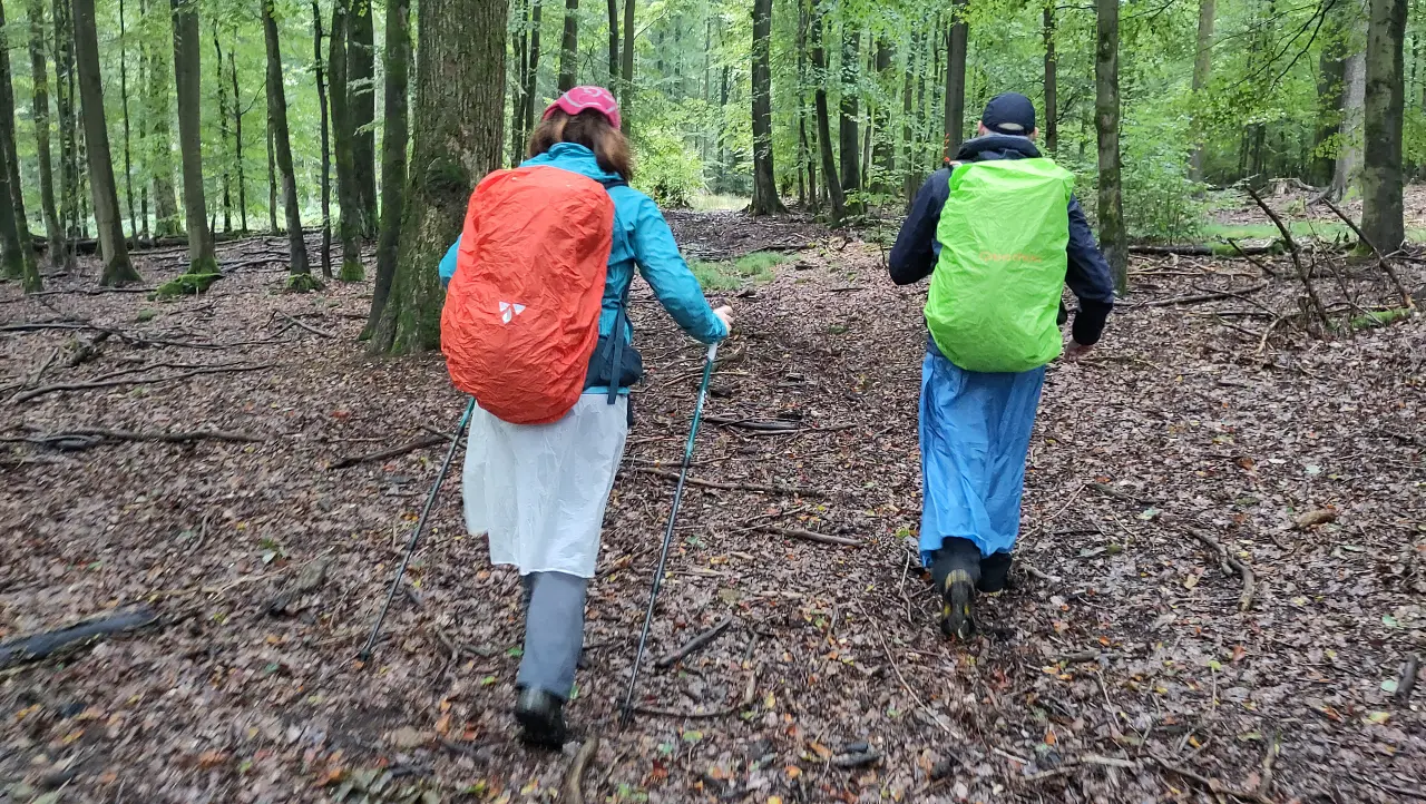
After a solid breakfast, the day started out rather wet. At breakfast we had briefly chatted with the only other guests in the hotel, who were walking the Spessartweg in the opposite direction. They had already warned us that it would be quite a climb at the beginning. That in itself isn't a big problem. The weather, on the other hand, was: during the ascent toward Moosborn we got properly rained on. Thanks to modern technology (i.e. plastic) it was bearable though. The forest paths were quite nice and remote (though of course that also made them particularly wet - tall grass and small shrubs just hold a lot of water).
Near Moosborn we had already slept in the car the year before during a small spontaneous weekend trip. That short vacation was ultimately the inspiration for this hike. We had simply liked the area a lot, especially the remote corner around Moosborn.
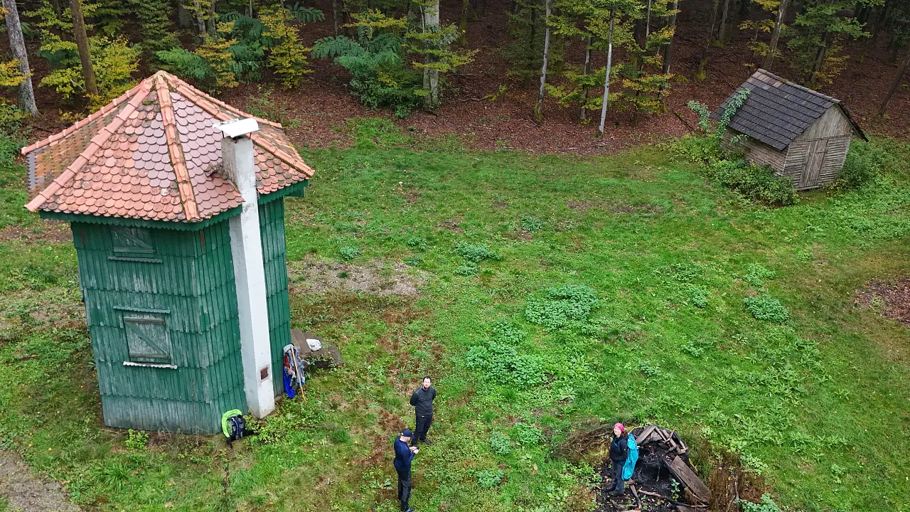
While we still had some nice small forest paths on the way to Moosborn, things got a bit more boring afterwards. Large, wide forestry roads led us toward our lunch break at the Waidmannsruh. It wasn't entirely clear what the story behind this building is. A hexagonal tower in the middle of the forest next to a large meadow. You could almost think someone built themselves a fancy hunting stand here (which would also explain the name - "hunter's rest"). The building was (unsurprisingly) locked, so we made ourselves comfortable on the steps in front of it to eat our lunch. The weather was still rather wet and cold with low-hanging clouds (low enough to fly the drone straight into the fog), chainsaws could be heard in the forest, so the place wasn't exactly inviting for a long stay.
After that we went straight downhill into the Aubach valley and on to Habichtstal. By then the weather had cleared up, so we could take a longer break just outside the village. That was necessary too, because my Achilles tendon was starting to make itself unpleasantly felt again.
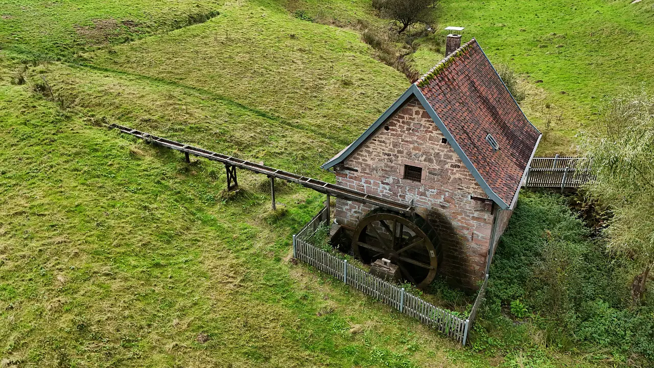
Below our resting spot stands the old village mill of Habichtstal. Unlike many of its unfortunate counterparts, this one has been beautifully restored and even seems to be operational (at least it has a turning waterwheel). Sadly the mill was locked, so we couldn't take a look inside. Without any information sign (or easily discoverable information from the municipality, except in old minutes of town council meetings) it was unfortunately impossible to find out whether the mill has any opening hours or whether there even is machinery installed inside. That didn't spoil our relaxed little break though. A bit of sun on the back and our (sadly painful) feet in the open air - quite pleasant.
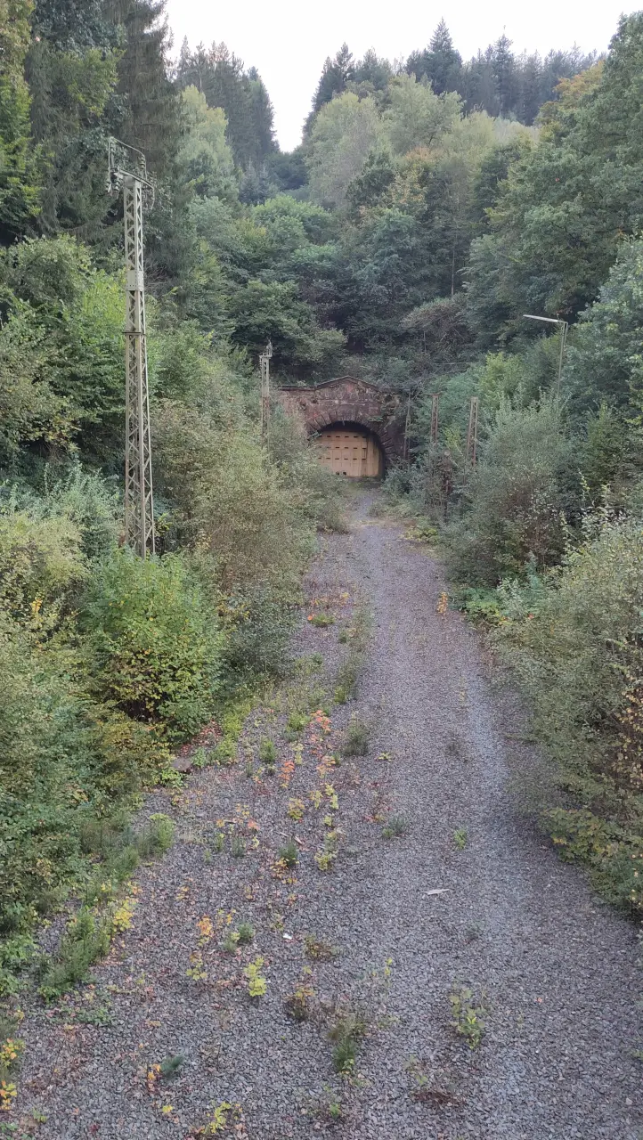
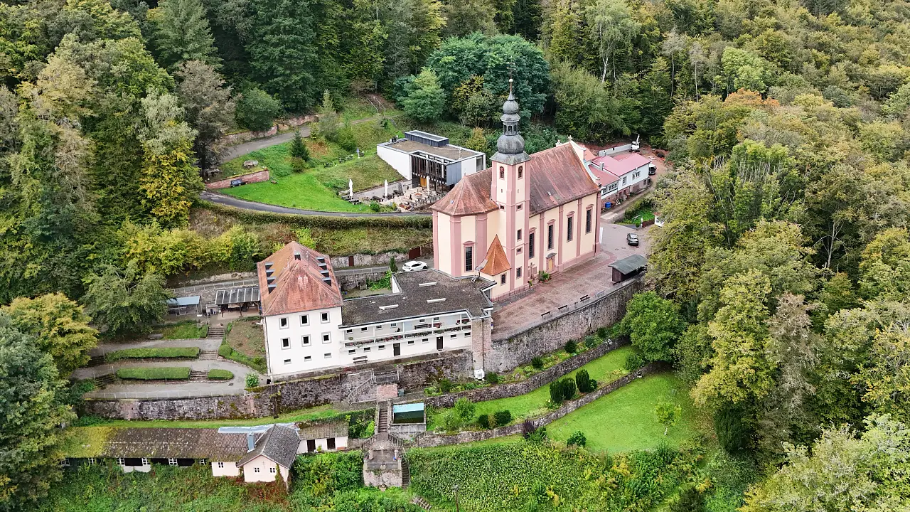
After the short break we continued past the Aubach lakes along the nature reserve Spessart Meadows. Here the Aubach is simply left to run freely and therefore constantly changes its bed. The resulting wetlands are oases of biodiversity (and incidentally look much more interesting than neatly trimmed lawns or spruce plantations). From there we continued over the hills toward Heigenbrücken. Another small break in the sun watching sheep (after the wet and cold start we needed a few UV rays), some up-and-down along small paths, past the Mariengrotte in the Bächlesgrund, the Wildpark Bächlesgrund (German only. It's a mixture between outdoor playground and small zoo) and the north portal of the (now filled-in) Schwarzkopf Tunnel, we finally reached our accommodation for the night: Villa Marburg. In the spirit of Manu's comment: "A bit of luxury is allowed on a hike." we ended the evening comfortably in the hotel's restaurant.
Day 4 – Two hikes and a sardine can: Heigenbrücken to Buchenmühle / Rettersbach
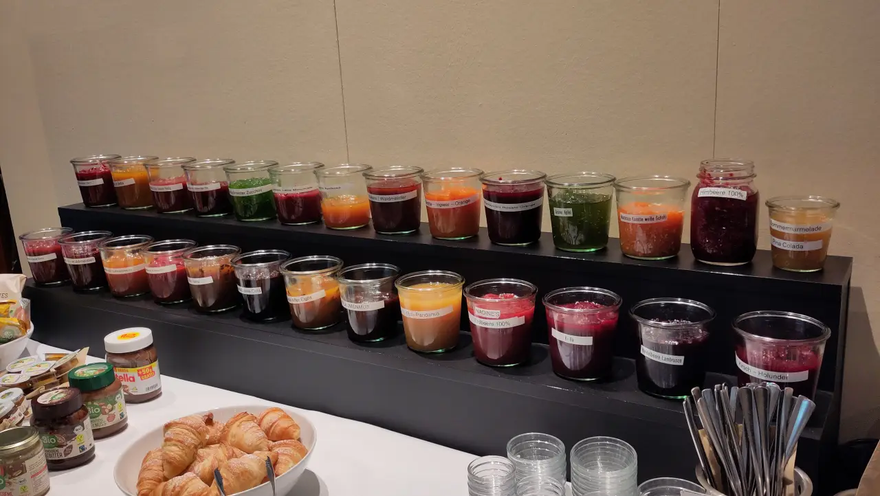
The hotel restaurant didn't hold back at breakfast either and offered no less than 27 homemade jams. Among them specialties like "Ramazzotti Rosato – Orange", "Mango – After Eight" or "Blueberry Cola". When it comes to jam I'm more of a purist, so I stuck to "NADINE's Strawberry 100%" (sic) and plum jam. Call me a wimp, but I didn't really feel like finding out how After Eight works as jam. The breakfast was delicious nonetheless, and so we set off well-fed and satisfied.
Because our legs were already somewhat battered (my foot was becoming harder and harder to tolerate, although later that day I would at least discover how to make it a bit more bearable), we came up with an alternative for the day and decided to split the route into two sections. A train ride in the middle would take a few kilometers off our feet.
First we walked just 7 km to Wiesthal station. From there two stops to Lohr am Main, then a somewhat unusual bit of city strolling (something that rarely happens on our hikes), and afterwards another 7 km to the Buchenmühle in Mariabuchen.
At first things went along quite comfortably again. Through the Spessart meadows (again - apparently there are several) to Fleckensteinsmühle. Always along the railway line, but fortunately still fairly quiet under the trees along the Lohrbach.
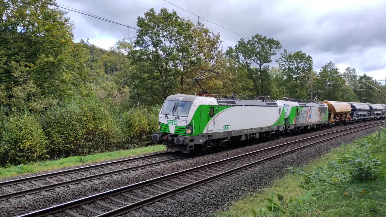
From Fleckensteinsmühle onward the trail runs directly above the railway line, so you can actually see the trains instead of just hearing them. Not exactly untouched nature, but still interesting.
At Wiesthal station it dawned on us why taking a train that day might not have been the best idea: the date was October 3rd (German Reunification Day, a national holidy), which of course is almost guaranteed to be a day of railway overload. And that's exactly how it turned out. In the regional train to Lohr am Main we stood in the doorway like sardines. The train was completely packed (though at least mostly on time). Fortunately it was only about 10 minutes for our two stops.
In Lohr we just barely managed to get under the roof of a supermarket before a rain shower passed through. Also an experience: breakfast under the roof of a supermarket in the rain.
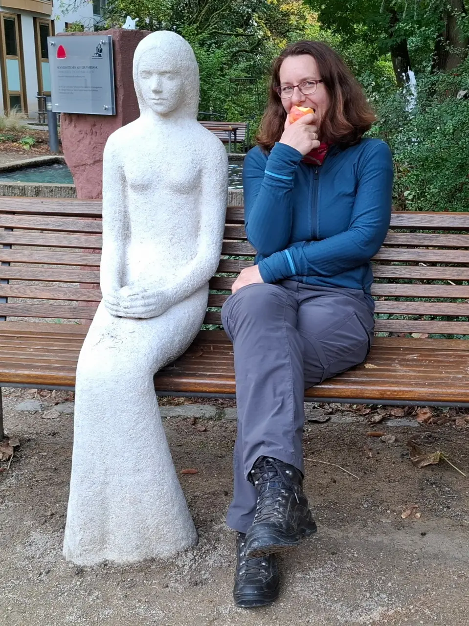
Lohr am Main sees itself as the Snow White town. Through the science of "fabulology" it has supposedly been proven that Snow White must have come from Lohr - and the town enthusiastically embraces this discovery. Figures here, fairy-tale readings there. For us hikers admittedly only moderately interesting, but we still took the chance to look around the town a bit and also visit Snow White on a park bench.
Lohr's town center is practically split in two: on one side the huge complex of the Bosch Rexroth factories, on the other the partly medieval old town with castle and narrow winding streets. As tourists we were naturally more interested in the old town. The Lohr castle (supposed birthplace of Snow White) is now a museum. We didn't have time for that, but we did manage a bit of sightseeing from the outside. Unfortunately the weather didn't really cooperate, so we had to take shelter in the town hall for quite a while - but eventually there was a short window for a drone flight.
After a small snack by the Main with some tasty pastries we crossed the Old bridge across the Main toward Romberg. Our desire for city life was satisfied for the moment.
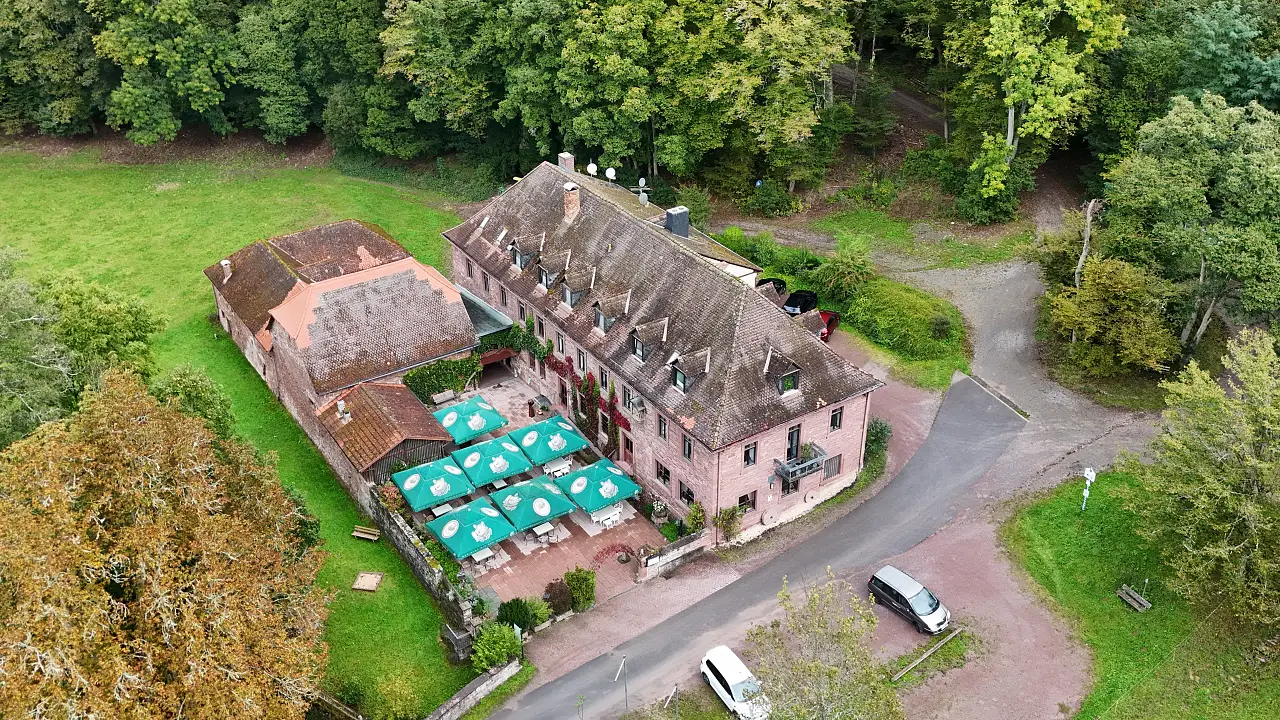
Our accommodation for the evening was in the middle of nowhere at the Buchenmühle. It situated directly below the pilgrimage church Mariabuchen, a rather impressive church complex from the early 18th century. The church sits on a steep slope overlooking the mill below. For us that meant: torture our tired (and partly aching) bones once more with a long steep descent. Just wonderful at the end of the day...
Finally: arrive, exhausted. Fortunately the Buchenmühle had not only rooms but also a restaurant. Otherwise we would have had to climb the hill again to the church, where there is a Portuguese restaurant. Instead we recharged with solid German food before retreating to our rooms.
The rooms are perhaps worth a short comment: the 70s called and want their rooms back. Soft beds, brown-green tiles, lots of wood on the walls - very some-decades-ago. Not bad or unpleasant at all, just very outdated. After a long hiking day that doesn't really bother you as long as the bed is dry and comfortable, but I wouldn't necessarily plan a vacation like that. In the middle of the night (OK, to be fair: 5 a.m.) we were also woken by a garbage truck crawling past directly under our window. I don't necessarily hold that against the rooms - someone has to collect the trash eventually - but it certainly shapes my memory of the night.
As usual I write these travel reports a bit later (early 2026, to be precise). When trying to link the Buchenmühle website I noticed that we probably were among the last guests ever. A few weeks after our hike the inn went into winter break and never reopened. The website is now offline and Google lists the restaurant as "permanently closed." As of January 2026 it is listed for sale for €1.2 million, in case anyone's interested. Although the listing seems to have been taken offline as of March.
Day 5 – Forests and a ruin: Buchenmühle to Langenprozelten
After an overall still fairly quiet night and an OK breakfast (rolls with the usual spreads - not bad, nothing extraordinary) we set off from the small valley for the final section of our hike.
First up onto the plateau to Rettenbach, and from there toward Hofstetten, before walking along the Main to the next bridge. Our destination for the day was on the north side of the river, while we had started on the south side.
We had already reached Rettersbach when I suddenly remembered that I had actually wanted to take a few aerial photos of the church and the inn - something I had of course forgotten in my usual morning confusion. Luckily the drone's range is large enough, so it quickly flew back those few hundred meters and took a few shots. From a slightly higher altitude than planned, because I can't exactly fly below the horizon (neither legally nor technically).
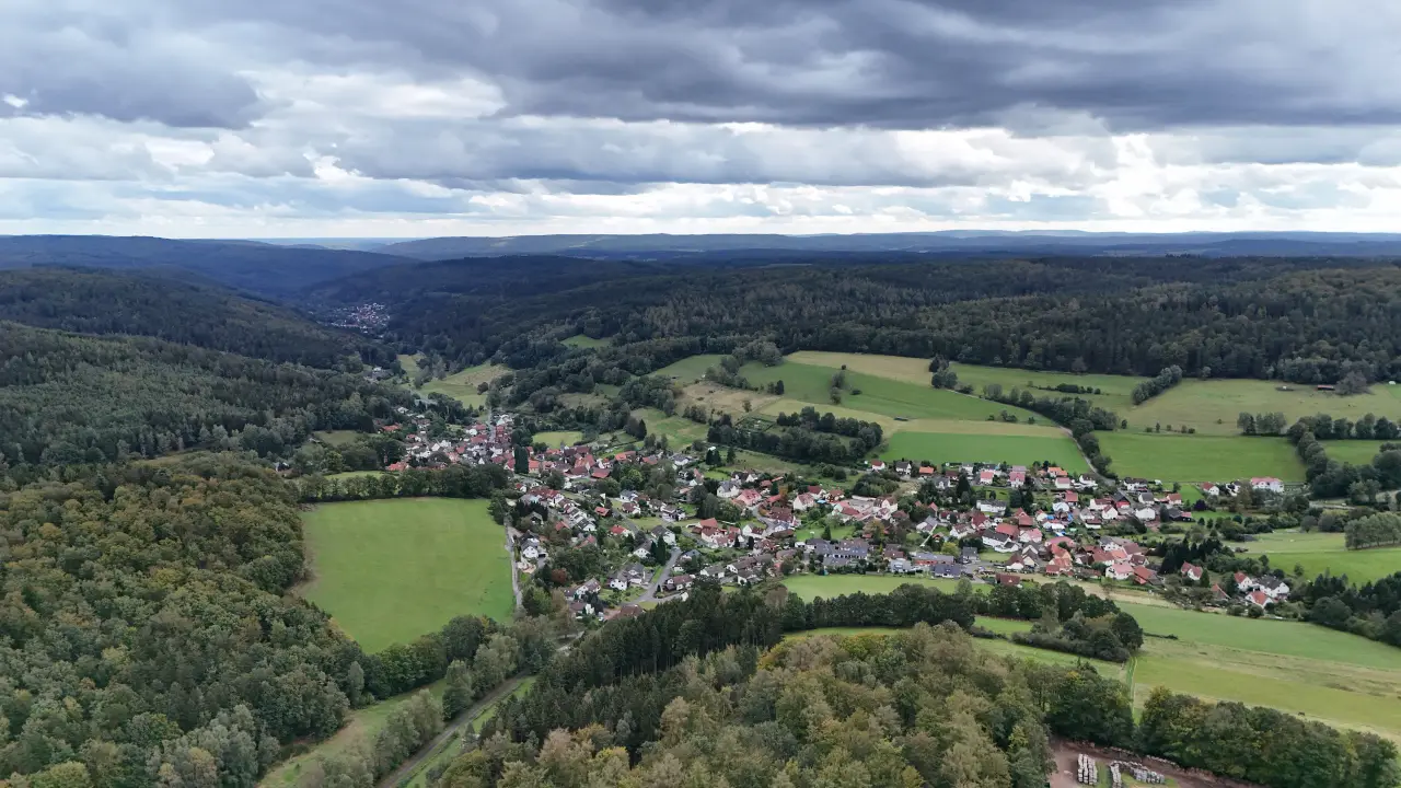
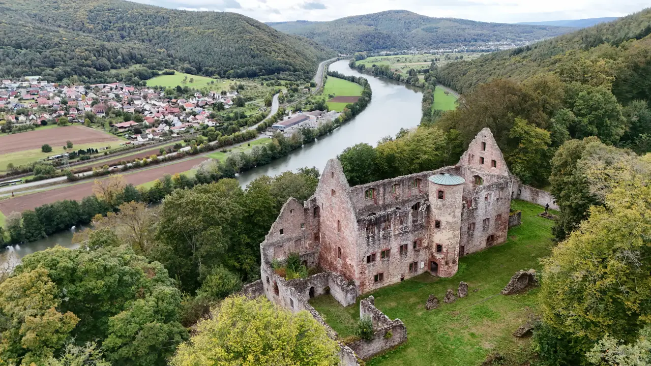
After that we continued along rather boring wide forest and field paths toward Halsbach and then on to the castle and priory ruins of Schönrain. That turned out to be another highlight. Beautifully located above the Main at the edge of the forest, it offers wonderful views in open nature. Tech enthusiasts can also enjoy watching trains on the Maintal bridge near Nantenbach, which ends directly below the castle in a tunnel.
The ruin has a rather eventful history spanning almost a thousand years - first as a priory, later as a residential castle, and finally as an administrative and forestry office. After that too was relocated elsewhere in 1818, the castle became the ruin that still stands there today (the fact that the last owners took the roof with them and that farmers from the surrounding villages looted the remains sped up the process quite a bit).
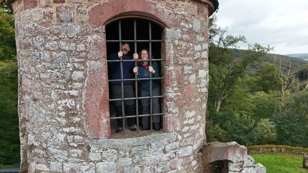
I had already picked the ruin as a good place to send the drone up for some nice photos. When I arrived I realized that some airspace coordination was needed: two other drone pilots were there flying POV drones through the building. Since we had completely different goals (me: photos, them: acrobatics) we managed to stay out of each other's way quite well. The two had actually spent the night in the tower (one of the few structures with a roof) so they could fly undisturbed.
At the ruins we were caught by the first rain shower of the day. Fortunately there are a few covered areas where we took shelter together with a few other hikers. We used the opportunity to eat a bit before continuing toward Hofstetten.
There we had to wait out another short shower under a tree - and encountered the classic problem of so close and yet so far: Hofstetten and Langenprozelten (where our hotel was) lie directly opposite each other. Unfortunately there are about 130 meters of flowing water in between, and the next bridge is quite a bit upstream. So we still had about 2 km upriver, across the bridge, and another 2 km back ahead of us.
That stretch really drags on. You can see the destination almost the entire time (river valleys obviously are flat, and at that point also pretty straight), but it just doesn't get closer. Our legs and feet were already hurting quite a lot that day (I mentally cursed the defective shoes again), which made the last kilometers feel even longer.
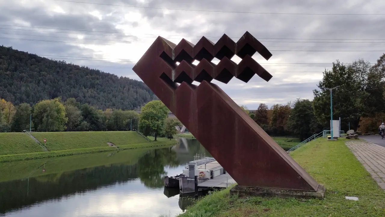
At least there were a few interesting things to see along the way (since we decided to take a slightly longer but nicer path): some art installation at the water management office, another railway line disappearing directly from the bridge into a tunnel, a few nice meadows...
Eventually we arrived like beaten heroes at the Hotel Imhof. Delicious burgers, tarte flambée and spätzle for dinner (separate dishes, otherwise we would have exploded), and a few cocktails to round off the day finally consoled us for all the effort.
Homewards bound
That evening we added up the kilometers we had walked so far and decided that 107 km were enough. So we asked the hotel to drop us off at the station in Gemünden the next morning. Early in the morning it was relatively quiet there, though there was still enough action for a completely drunk guy who repeatedly rolled across the platform. He was also on our train but fortunately got off after two stops.
We still had to return to Schlüchtern to get the car. That was about 45 minutes by train - a distance that had taken us five days on foot.
We quickly picked up the car and started the journey home.
Conclusion
After the incredibly beautiful Dahner Felsenland the year before, the Spessart obviously had a hard time competing. The sometimes mediocre weather and our (for various reasons) battered legs and feet didn't make a good impression any easier.
But even aside from that the hiking route itself was rather average. Too many straight, two-track forestry roads, not enough variety. There are definitely highlights: the Hasel valley on the first day, the graduation tower and spa park in Bad Orb, the crazy path across the golf course, the area around Habichtstal, or the Schönrain ruins are all quite worth seeing.
But a long-distance hike is always strongly defined by the paths you walk. And here it lacked those little trails through the undergrowth with occasional surprising views.
The hike was nice - but also not something we feel the need to repeat anytime soon.